Winter Storm Could Bring More Than 10 Inches of Snow to These Regions
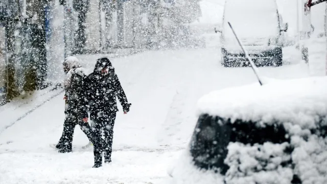
Many people who live in colder regions expect the frigid temperatures that come along with wintertime. But while watching the mercury dip can be memorable, most look at total snowfall to gauge how rough a particular year’s season has been. Even those who are accustomed to shoveling and getting around in the white stuff can still struggle when particularly bad blizzards roll through. And this week, another winter storm could bring more than 10 inches of snow to some areas. Read on to see which places will be affected and how much snow you can expect in your region.
RELATED: “Polar Vortex Disruption” Will Send U.S. Temps Plummeting—Here’s When.
A historic storm has drenched the southern West Coast over the past few days.

Over the past few days, California has been dealing with a deluge of record-breaking rain brought on by an atmospheric river. A slow-moving storm soaked the southern regions of the state, bringing catastrophic flooding and mudslides to the area, NBC News reports.
As a less heavy bout of rain continued to douse the area on Wednesday, the city said it had received six to 12 inches of precipitation since the weekend. Meteorologists say the storm picked up strength when undergoing a massive low-pressure drop known as “bombogenesis,” turning it into what is known as a bomb cyclone just before it made landfall, per NBC News.
“Even though the rain may ease up a bit today, this storm continues, and that means we still need Angelenos to take precautions,” Los Angeles Mayor Karen Bass told reporters during a news conference.
The storm also caused serious damage further north in the San Francisco Bay area, bringing heavy winds and rains that have led to landslides, the BBC reports. But now, the storm system is moving on to other parts of the U.S.
RELATED: Meteorologists Say 2024 Will “Amplify Hurricane Activity”—Here’s Where.
Large sections of the U.S. can now expect heavy snow as the weather moves east.

The atmospheric river moisture hasn’t completely dried out yet. On Feb. 7, a series of winter weather warnings went out regarding more than 400,000 square kilometers of the Western U.S., The Weather Channel reported.
In a Feb. 7 forecast, meteorologist Domenica Davis said the wet weather would transition from rain to snow as it hit colder air at higher elevations. The expansive area is expected to see “significant” snowy conditions through early Friday morning in some places.
RELATED: 10 Ways to Prepare Your Home for a Snowstorm, According to Experts.
Areas just east of California in the Southeast could see some snowfall.
So far, snow has already hit the Sierra Nevada Mountains in Northern California, with winter storm warnings in effect for the south end of the range through 10 a.m. PST on Feb. 8, according to the National Weather Service (NWS). The agency warns that the area could see a total of one to two feet of accumulation at higher elevations.
Parts of the Southeastern desert will see rain, including in southern Arizona and Nevada. Las Vegas was also contending with a serious soaking on Wednesday ahead of hosting the Super Bowl this weekend, Fox Weather reports.
But northern regions of Arizona still have snow in the forecast, with high-elevation areas around Flagstaff expecting to see 10 to 16 inches of snow through late Thursday night, according to the NWS alert. However, some higher elevations there could see as much as two feet fall, according to local CBS affiliate KPHO.
Higher elevations in northern New Mexico could also see significant accumulation. Taos can expect snow through Wednesday, with flurries lingering the following day, per The Weather Channel.
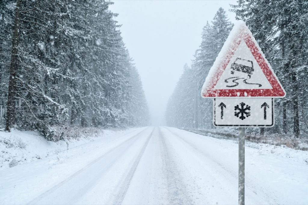
The Rockies will also see significant snowfall over the next 36 hours.

Snow will also hit Utah in the coming days. Much of the state can expect one to five inches of snowfall, The Weather Channel reports. There’s currently a winter storm warning in effect through 5 a.m. MST on Thursday for the Wasatch Mountain region south of I-80 and Western Uinta Mountains, where eight to 16 inches is expected to fall, per the NWS.
Western parts of Colorado will also see snowfall, with one to five inches in the forecast for most areas. Mountains and higher elevations in the southwestern part of the state could see up to 18 inches, according to The Weather Channel.
Areas further north could also get some of the white stuff. Northern Idaho may see up to three inches fall, while most of Montana and North Dakota might see anywhere from one to five inches, The Weather Channel reports.
RELATED: For more up-to-date information, sign up for our daily newsletter.