This Weekend’s “Largest Storm of the Season” Could Drench These Regions

Most people prepare for winter weather assuming they’ll get frigid temperatures and plenty of snow. But depending on certain conditions and weather patterns, other areas can wind up getting soaked with heavy rain during the coldest months of the year. Now, meteorologists are warning that the “largest storm of the season” could drench some parts of the U.S. this weekend. Read on to see what the developing forecast has in store and what it could mean for you.
RELATED: “Arctic Blast” and Widespread Snow Predicted for Next Month—Here’s Where.
The West Coast has been getting hit by the “atmospheric river” this week.
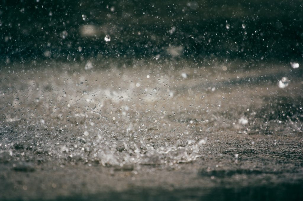
This week has brought the next phase in a continued stream of wet weather for California and the Pacific Northwest. An atmospheric river funneled heavy rains across the West Coast on Wednesday, with satellite images showing clouds covering a 2,000-mile swath from offshore Los Angeles all the way to Juneau, Alaska, AccuWeather reports.
This bout of drenching weather was caused by an atmospheric river known as the “Pineapple Express.” The weather pattern funnels heavy moisture from the waters just offshore of Hawaii to the West Coast of the U.S. and Canada where it produces rain, according to The New York Times.
On Jan. 31, the storm soaked the San Francisco Bay area and brought wind with gusts around 50 miles per hour to the region, NBC News reports. The system placed over 20 million people under flood watches during the day.
The heavy rain moved south towards Los Angeles and San Diego early Thursday, potentially bringing as much as two to four inches of precipitation to the area over the course of the day, per an AccuWeather forecast. The latest wave of moisture comes just days after San Diego experienced devastating floods on Jan. 22 during what became the city’s wettest January day on record.
RELATED: Meteorologists Say 2024 Will “Amplify Hurricane Activity”—Here’s Where.
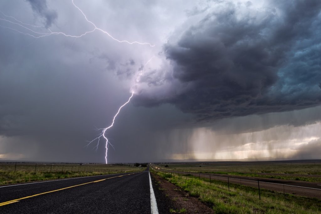
A second storm system is also approaching and will likely be even worse.

Unfortunately, the Golden State won’t have very much time to dry out before seeing another soaking. A second storm system is expected to almost immediately follow the current one, potentially bringing even worse bouts of rain and snow starting this weekend.
“The largest storm of the season will begin late Saturday night into Sunday,” meteorologists with the National Weather Service (NWS) in Los Angeles wrote in their long-term forecast for the area on Feb. 1.
The system could also ramp up in intensity as it approaches land. During an online press briefing, Daniel Swain, a climate scientist at the University of California, Los Angeles, said some models suggested the storm could undergo a significant low-pressure drop and create what’s known as a “bomb cyclone,” the Associated Press reports.
Forecasts are still trying to pinpoint how much rain and snow some areas could see.

Because of the potential for the storm to strengthen before its arrival, meteorologists are still combing through data to assess just how much precipitation some areas could receive. But figures show that the combined rainfall from the two systems could be quite considerable.
According to an NWS forecast posted by CNN on Feb. 1, areas as far north as Southern Oregon could see one to four inches of rain near the coast over the next seven days. Totals increase moving into California, with northern parts of the state getting three to four inches and the San Francisco Bay area forecast to receive up to four to five.
Rainfall gets even more intense heading farther south. Parts of the South Central coastline could see five to seven inches of precipitation within the next week, with Santa Barbara and parts of Los Angeles trending towards the higher side, per CNN. The NWS forecast points out that “the heaviest portion of the storm is expected to be Sunday night into Monday” for the region.
And it’s not just water: The Sierra Nevada Mountain region is expected to get hammered with even more snow during the second storm than the first, according to AccuWeather. By the middle of next week, some areas of higher elevation could see as much as five to 10 feet of cumulative snowfall.
RELATED: Widespread Blackouts Predicted for 2024—Will They Hit Your Region?
The systems are expected to bring more intense weather to areas farther east.
But just as the West Coast braces for its second consecutive impact, the first round of rain will push ahead and impact other regions’ weekend plans. The system will bring rain to the Southwest and parts of the Rocky Mountains, bringing six inches to a foot of snow to Denver before reaching Texas and pushing east.
“As a storm works its way east from the southern Plains to the Gulf Coast states from Friday into the weekend, it will tap into moisture from the Gulf of Mexico,” Dan Pydynowski, an AccuWeather meteorologist, said on Jan. 31. “This will produce a myriad of travel threats across the South.”
Areas from the Texas coast through Oklahoma could see severe thunderstorms beginning on Friday, which have the potential for damaging wind, hail, and flash floods. The system will push into the Mississippi and Tennessee Valleys on Saturday and Sunday with heavy rains that meteorologists warn could slow travel. Finally, the storm will move through the southeast and on to Florida to wrap up the weekend, with parts of Alabama, Georgia, and South Carolina expected to pick up around one to three inches of rain.
“There can be a greater risk of severe thunderstorms with downpours and damaging winds, centered on portions of the Florida Peninsula on Sunday,” Pydynowski said. “This is because a separate, potent piece of atmospheric energy will barrel eastward across the Gulf and into Florida.”
RELATED: For more up-to-date information, sign up for our daily newsletter.