Weather Predictions Keep Changing—What the Unpredictable Shifts Mean for You
From relying on folksy forecast tactics in the Farmer’s Almanac to watching weather reports religiously, people can obsess over how much it will rain or snow and how chilly the winter will get compared to other years. Of course, the only significant variables in trying to chart the weather are the phenomena that can tip the scales and influence conditions one way or another. And now, scientists say an unpredictable El Niño year is already changing the weather outlook. Read on to see what this means for your region this winter.
RELATED: One of America’s “Very High Threat” Volcanoes Keeps Quaking—Could It Erupt Any Day Now?
El Niño is a natural event that can influence winter weather across the U.S.

Every few years, El Niño makes its way back into the headlines as experts begin making their winter forecasts. The term comes from a natural phenomenon that occurs when warmer surface waters in the Pacific Ocean that are typically pushed west toward Asia drift east toward South America after the equatorial trade winds die down, according to the National Oceanic and Atmospheric Administration (NOAA).
The name itself comes from South American fishermen who noticed the warmer temperatures in the water, originally naming it “El Niño de Navidad”—or “the little Christmas boy”—because it was often strongest in December. A reverse phenomenon known as “La Niña” also happens when cold water moves east towards the continent, per NOAA.
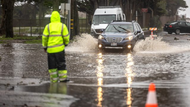
Even though the temperature difference on the surface is only within a couple of degrees, it generates some significant weather changes. In the case of El Niño, the warmer water pulls the Pacific jet stream farther south, creating dryer and warmer conditions in parts of the northern U.S. and pushing wetter weather and flooding through the Southeast, according to NOAA.
RELATED: Major Hurricanes Intensifying, New Data Shows—Is Your Region in Harm’s Way?
Scientists have noticed something different about this year’s El Niño.

Even though El Niño and La Niña events occur every two to seven years on average, they can still vary in intensity depending on certain conditions. But while scientists expect some changes, they’ve noted that this year’s El Niño is acting differently in some mysterious ways.
Initial temperature readings of the ocean’s surface show that waters are now roughly 2.7 degrees Fahrenheit above average, which signals a stronger El Niño season should be underway, The Washington Post reports. But so far, weather remains statistically unchanged in the areas such conditions would typically affect.
Scientists explain that the hold-up is due to other conditions in the region, including a large mass of warm water in the Western Pacific. “[That] encourages more tropical rain to fall there, which in turn reduces the intensity of the rainfall farther east because the air that rises in the west Pacific thunderstorms subsides back toward the surface farther east, drying the atmosphere,” Paul Roundy, PhD, a professor of atmospheric science at the University of Albany, told The Post.
There also appears to be less air rising over the Pacific, which is what creates the cycle of cloud and storm formation that moves east and eventually falls over the U.S. The warm water currently parked in the western part of the Pacific could be causing an atmospheric downdraft in the eastern part of the ocean, stopping the formation from happening, per The Post.
RELATED: How New “Extreme” Thunderstorms and Wind Are Increasing—And Affecting Where You Live.
However, conditions look like they might be about to change and disrupt winter weather.
Despite getting off to a late start, experts are now seeing evidence that a shift might be about to take place.
“This interference of west Pacific warmth appears to be declining,” Roundy told The Post. “Now there is plenty of warm water east of the Dateline to allow heavier rain to fall there.”
Once this happens, he believes a traditional El Niño season will begin. Others expect the surface temperatures could then actually continue to increase through December and into January, according to Just In Weather. And of course, this could bring some damp conditions to parts of the country.
“It is likely that this winter, Central to Southern California will be wet, extending eastward across the southern part of the nation,” Roundy told The Post.
RELATED: 10 Signs Our Winter Could Be Brutal, Farmer’s Almanac Says.
Other parts of the U.S. could see “super warm” conditions, while the East Coast could go either way on snow.
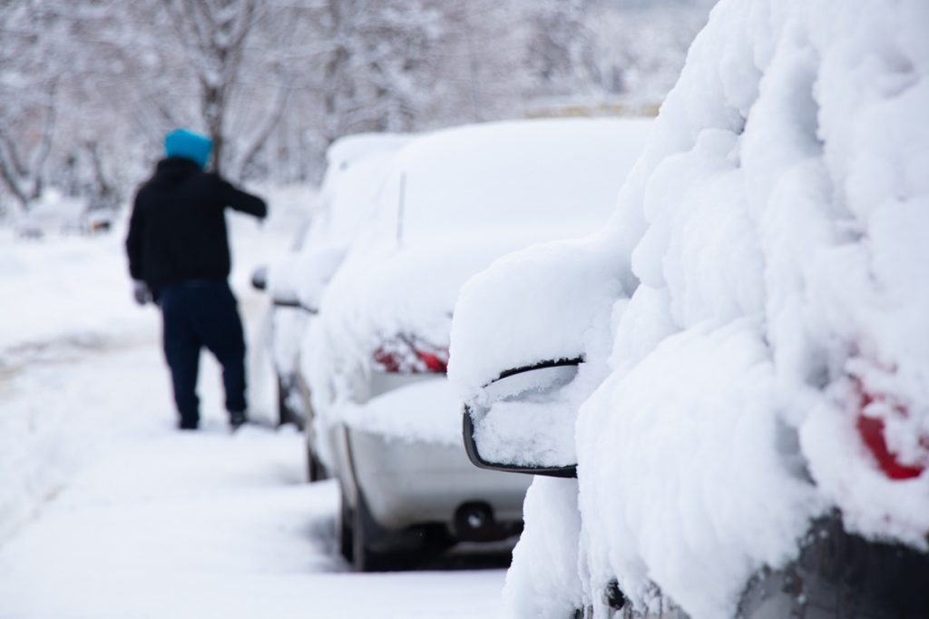
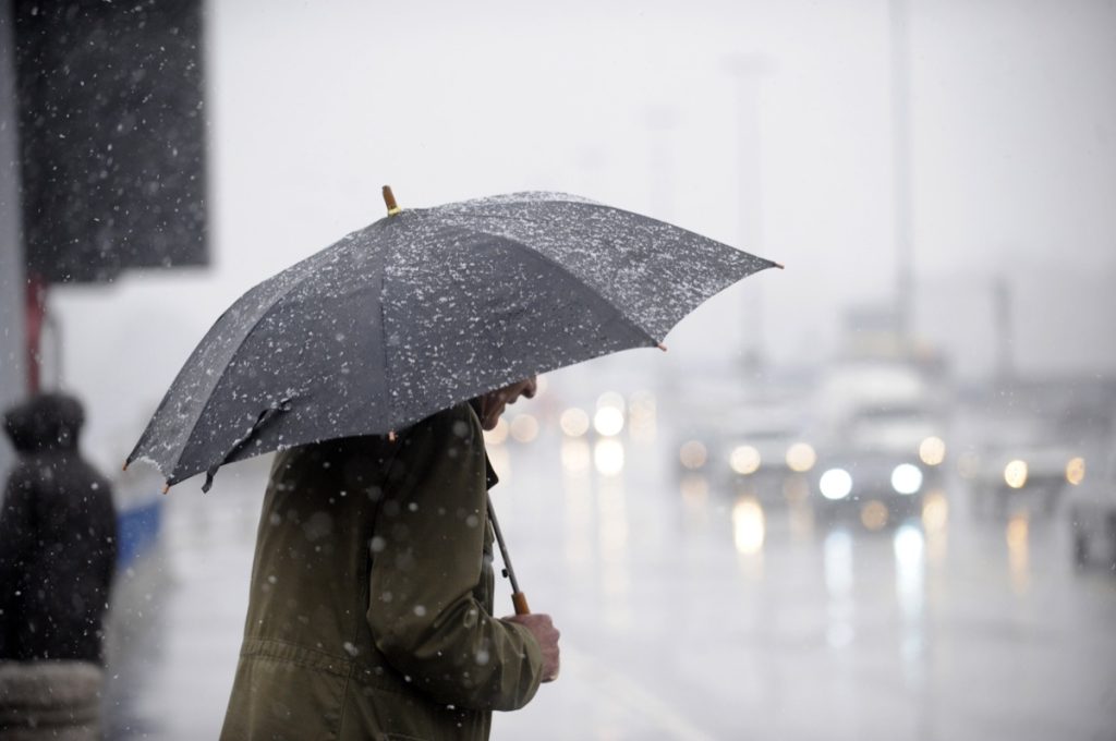
But while some parts of the states might get drenched this winter, others will be experiencing very different weather. According to Todd Crawford, PhD, a consulting meteorologist at weather and climate intelligence company Atmospheric G2, temperatures could be “super warm” to “potentially record [warm] at times” throughout the U.S. in the first half of the winter. Eventually, the weather will become colder and could even eventually resemble the winter of 2009-2010—meaning very heavy snow could be headed to some areas, per The Post.
Other areas could still be in for some rain and snow. “There is enhanced potential for wet conditions up the East Coast as well, especially in December,” Roundy told The Post.
And of course, snow is still in the mix. According to Just In Weather, the likelihood of the white stuff is “above average all around.” However, depending on each storm’s track, the potential for them to stay as rain as they move north leaves the possibility that it could be less snowy in some areas.
However, things look different for the East when past data is considered. According to NOAA data, strong El Niño years actually mean it’s less likely to snow than usual in places like New York, Pennsylvania, and New England, CNN reports.
RELATED: For more up-to-date information, sign up for our daily newsletter.