Major Hurricanes Intensifying, New Data Shows—Is Your Region in Harm’s Way?
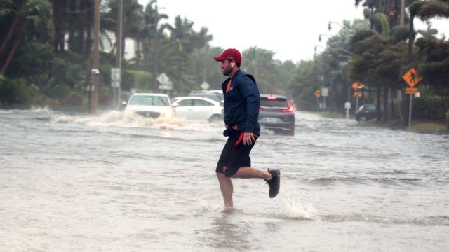
Hurricanes are some of the most expensive—and devastating—weather events that occur in the U.S. In 2022, they cost the country more than $165 billion, the third-highest year on record after 2005 and 2017, and the preliminary numbers for 2023 are shaping up to be a doozy, according to the National Oceanic and Atmospheric Administration (NOAA). In August, Tropical Storm Hilary hit Southern California, the first of its kind to wallop the area in 84 years. If it seems like these weather events are becoming more powerful and destructive, it’s because they are: A recent study found that hurricanes are intensifying more rapidly than ever before. Read on to find out how major hurricanes will impact different regions of the country, and if you need to up your awareness.
RELATED: What a “Historically Strong” El Niño Could Mean for Your Region This Winter.
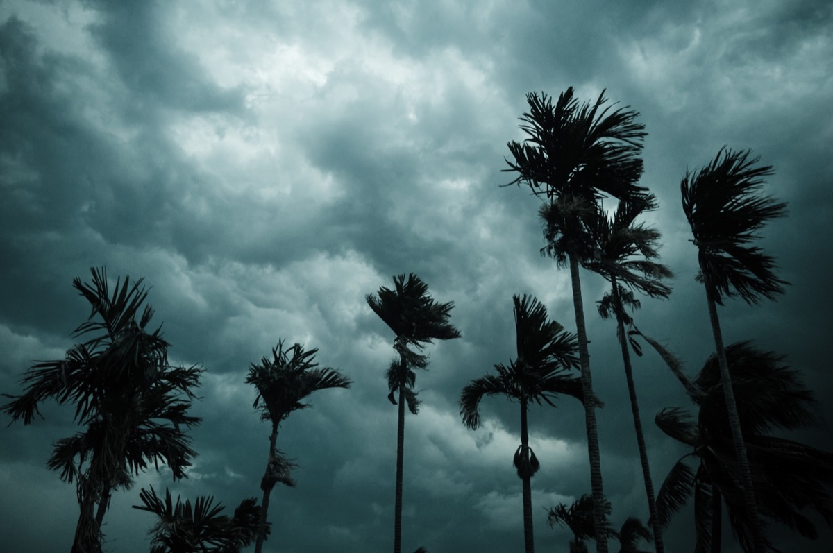
Hurricanes have been intensifying much faster in recent years.
A new study published in the journal Scientific Reports found that hurricanes in the Atlantic Ocean are now twice as likely to grow from a weak Category 1 storm to a major Category 3 or higher hurricane within 24 hours. That means it can be more difficult to forecast how severely a place will be affected; it also makes it more challenging for officials to order effective evacuations, if needed, according to The New York Times.
The study looked at how fast the storms could intensify over other time periods, too. According to The Washington Post, the average maximum intensification rates increased by about 29 percent in the 12-hour window, 27 percent in the 24-hour window, and 26 percent in the 36-hour one.
“It’s now as likely that storms see peak winds increase at least 57 mph in 24 hours as it was during a 36-hour period several decades ago,” the Post writes. For reference, 57-mph wind can break or uproot trees and blow shingles off roofs, according to the Beaufort Wind Scale.
RELATED: Where It’ll Be Extra Warm This Winter, New Weather Predictions Show.
Here’s what’s causing it.
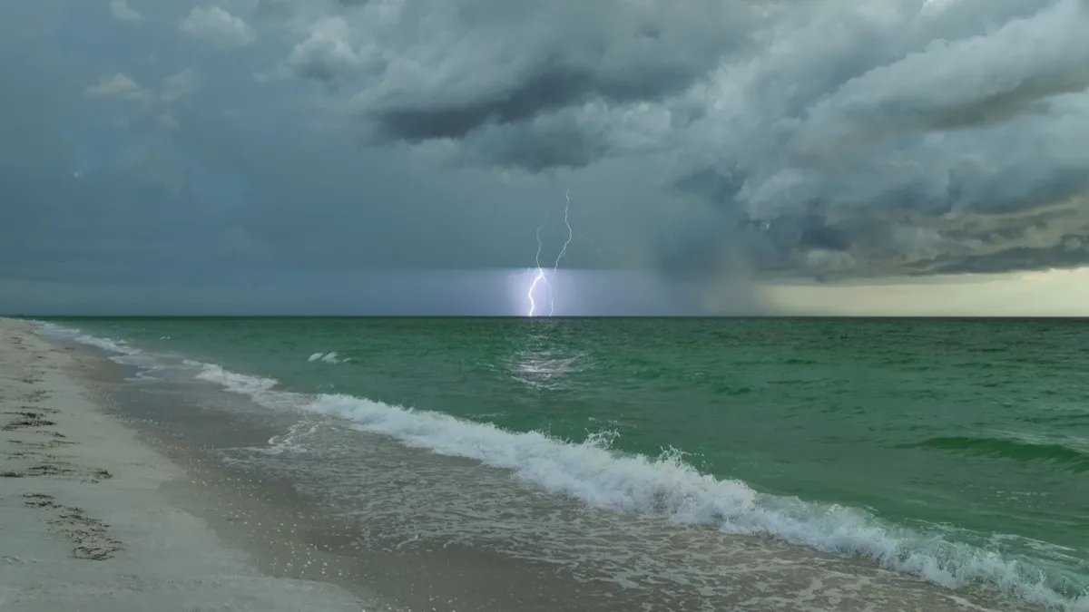
Climate change is no doubt at play here. According to The New York Times, tropical storms form when warm ocean water evaporates into the atmosphere; the difference in temperature between the surface of the ocean and the cooler upper atmosphere increases the odds of heavier winds. Because ocean temperatures are getting warmer, storms are getting stronger.
The rapid intensification of storms isn’t the only thing that’s being impacted by the changing climate.
“The flooding from storm surge events will be made worse by sea level rise,” Tom Knutson, senior scientist at NOAA’s Geophysical Fluid Dynamics Laboratory and leading scientist on hurricanes and climate change, told NASA.
Knutson also says models show that there will be increased rainfall from hurricanes. “As surface temperatures rise, more liquid water evaporates from the land and ocean and adds moisture to the air,” explains NASA. “Warmer air temperatures can hold more water vapor, and the increased moisture in the air leads to more intense rainfall, especially during extreme events.”
In that context, the author of the study told Popular Science her research was an “urgent warning for humanity.”
RELATED: Here’s When Your Region Will See Its First Frost, According to Weather Experts.
Here’s what that means for the East Coast.
The new study found that the rapid intensification of hurricanes was becoming more prominent in some areas of the Atlantic than in others. Areas near the southeastern U.S. coast are one such place—meaning storms there could become less predictable in the coming years. A major hurricane popping up seemingly overnight wouldn’t be absurd.
Just this week, Hurricane Otis went from a tropical storm to a Category 5 hurricane in 12 hours, CNN reported.
The same thing holds true for other areas of the East Coat: Hurricanes will get stronger faster, rainfall will increase, and storm surges will heighten.
These items are out of harm’s way.
The west coast of the U.S. will remain safe from hurricanes. The area tends to avoid storms due to its cooler waters and winds that tend to pull storms away from the coast, according to USA Today.
But could warmer seas cause hurricanes there, too? It’s still up in the air.
“We need more years of data to fully evaluate current trends and thus better evaluate how climate change could impact eastern Pacific hurricanes affecting the U.S.,” Kim Wood, an associate professor in the Department of Geosciences at Mississippi State University, told USA Today.
Non-coastal areas, like the Midwest and Southwest, are also safe—from hurricanes, at least.
RELATED: For more up-to-date information, sign up for our daily newsletter.