What a “Historically Strong” El Niño Could Mean for Your Region This Winter

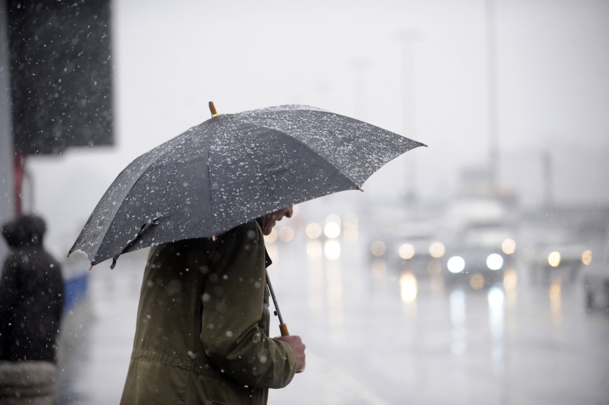
If you pay any attention to the weather, then you probably noticed that this year, it was a little, well, weird. There was a spring snowstorm in Northern California, a record-breaking heat wave in the Southwest, and headline-making rain in the Northeast. And it turns out, this year of wild weather shows no signs of slowing down. An El Niño event is on its way—and should stick around through winter in the U.S.
Last week, the National Oceanic and Atmospheric Association’s (NOAA) Climate Prediction Center (CPC) said there was a 30 percent chance it would be a “historically strong” event. Read on to learn what that means, and how El Niño could impact your region.
RELATED: Farmer’s Almanac Predicts Extra Snowy Winter: What to Expect in Your Region.
What is El Niño?
Your first question after learning this will be an El Niño year may be, “What’s that?” You’re not alone. The phenomenon is complex, and because it doesn’t happen all that frequently, we don’t learn much about it.
Fundamentally, El Niño is a climate pattern that has to do with the trade winds in the Pacific Ocean. Typically, those winds blow west, taking warm water from South America toward Asia, and allowing cold water to rise from the depths. During an El Niño year, those trade winds weaken, and warm water is pushed back toward the west coast of the Americas, according to the NOAA.
Conversely, during La Niña years, those winds are stronger than usual, per the NOAA. El Niño and La Niña events occur every two to seven years; they don’t run on a set schedule, but scientists can predict them months in advance.
Most years, these events impact our weather in fairly predictable ways. The warmer waters cause areas in the Northern U.S. to become dryer and warmer, while the Gulf Coast and Southeast are wetter—and have increased flooding, the NOAA explains.
RELATED: Here’s Why It’s Raining Every Weekend in the Northeast, According to Science.
How intense will this year’s El Niño be?
Different El Niño years bring different levels of intensity—and if you ask a meteorologist about this year’s, it’s going to be a doozy.
“The team favors at least a strong event with a 75 to 85 percent chance [of a historically strong event] through November and January,” wrote the CPC. “There is a three in ten chance of a historically strong event that rivals 2015 to 2016 and 1997 to 1998.”
A strong El Niño means that sea surface temperatures will be at least 2 degrees Celsius (or 35.6 degrees Fahrenheit) warmer over the season.
“We’ve only seen four of these (historically strong events) in our historical record, dating back to 1950,” wrote Emily Becker, associate director of the University of Miami Cooperative Institute for Marine and Atmospheric Studies, via Fox Weather. “The stronger the El Niño, the more likely it will affect global temperature and rain/snow patterns in expected ways.”
RELATED: This Is the Scariest Weather to Fly Through, Pilots Warn.
Here’s what that means for the different regions of the U.S.
Northern states, like Washington, Montana, North Dakota, South Dakota, and Minnesota, can expect a winter that’s warmer and drier than usual, according to the NOAA. Per ABC News, there’s a chance it will be a wetter than normal winter in the Northeast.
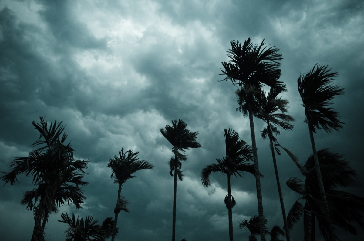
In Southern California and the Southwest, prepare for rain. For example, during the 1997 to 1998 events, California saw precipitation levels that were 150 percent above average.
Beyond that, “In the U.S. Gulf Coast and Southeast, these periods are wetter than usual and have increased flooding,” the NOAA says.
However, everything is subject to change.
Not every El Niño year looks the same, and it’s difficult for scientists to predict what each will bring.
“Scientists have identified a set of typical U.S. impacts that have been associated with past El Niño events,” writes the NOAA. “But ‘associated with’ doesn’t mean that all of these impacts happen during every El Niño episode. They may happen as often as 80 percent of the time or as infrequently as 40 percent of the time.”
In other words, prepare for the worst, but take things day by day.
For more weather news delivered straight to your inbox, sign up for our daily newsletter.
- Source: https://www.cpc.ncep.noaa.gov/products/analysis_monitoring/enso_advisory/ensodisc.shtml
- Source: https://oceanservice.noaa.gov/facts/ninonina.html
- Source: https://www.climate.gov/news-features/blogs/enso/united-states-el-ni%C3%B1o-impacts-0
- Source: https://www.climate.gov/news-features/understanding-climate/el-ni%C3%B1o-and-la-ni%C3%B1a-frequently-asked-questions