“Arctic Blast” and Widespread Snow Predicted for Next Month—Here’s Where
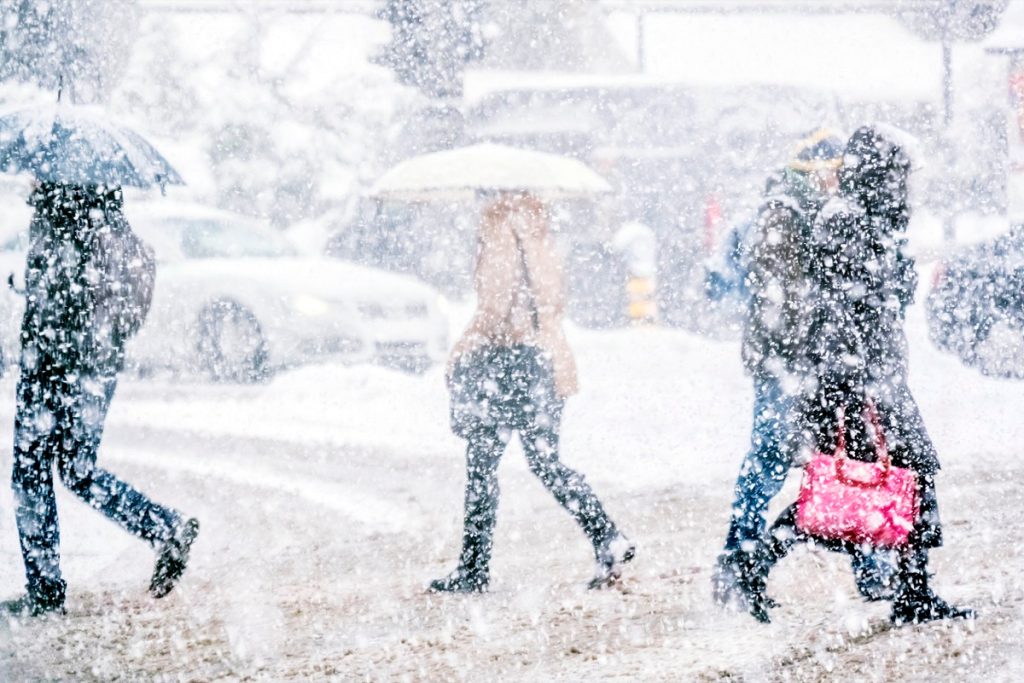
The kickoff to 2024 has served as a reminder of just how severe winter weather can get. From freezing temperatures to devastating flooding, few regions have been spared since January began. But with several weeks to go before spring kicks in, meteorologists have already predicted there could be another “arctic blast” and more widespread snow next month. Read on to see why conditions could get so extreme in February and what regions the weather could affect the most.
RELATED: Polar Vortex Could Bring “Severe Winter Weather” to the U.S.—Here’s When.
The “polar vortex” has already affected the weather this winter.

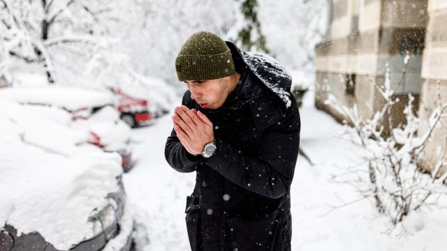
The frigid temperatures that swept across the nation earlier this month were a jolting reminder that winter had arrived. However, the colder-than-usual conditions were actually the result of a weather pattern known as the “polar vortex.”
The term refers to a counterclockwise flow of air that keeps a block of low pressure and cold air at the planet’s poles in place, according to the National Oceanic and Atmospheric Administration’s (NOAA) National Weather Service (NWS). Occasionally, it descends into the continental U.S.—and meteorologists say this explains why so many regions woke up to freezing conditions earlier this month.
“It appears as though the minor [vortex] warming during the first week of January and the subsequent destruction of the polar vortex in the lower stratosphere were enough to at least help set the stage for the cold air outbreak over North America this past weekend,” Climate.gov wrote.
RELATED: Weather Predictions Keep Changing—What the Unpredictable Shifts Mean for You.
Experts warn that a new cycle may bring another blast of cold weather and snow next month.
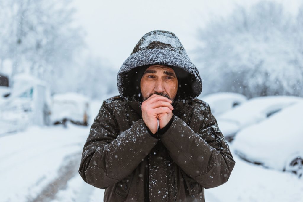
Even as last week’s cold snaps have reversed course into some unseasonably warm weather, it’s unlikely we’ve seen the last arctic blast of the winter. According to a blog post by Judah Cohen, an atmospheric scientist and director of seasonal forecasting at Atmospheric and Environmental Research (AER), the polar vortex is a “rapidly transitioning situation” that will “come down to rinse, lather, repeat.”
Cohen explained his reasoning during an interview with Fox Weather on Jan. 23, where he also outlined how he believes the forecast will play out in the coming weeks. However, the next cold wave might start off with the opposite weather you expect.
“For the first half of January, that polar vortex kind of stumbled and fell foul there, moved south. We had the arctic outbreak,” Cohen told the network. “But now it’s, it’s back together, let’s say, and, it’s a very tight spin, rotation of the polar vortex. All the cold air is receding back towards the North Pole, and we’re going to have a milder end of the month of January.”
RELATED: 7 Ways to Winter-Proof Your Car, According to Experts.
Warmer weather could affect the atmosphere and bring colder temperatures in early February.
However, the rising mercury may end up being a red herring for what’s to come.
“We’re probably going to see a record warm, like we had that happen in December,” Cohen told Fox Weather in his near-term prediction. “But I do think then, often when you have these Canadian warmings, the polar vortex then tends to transition into a very large disruption called a sudden stratospheric warming or a stretching event, like a rubber band (pulling cold air south).”
Cohen told the network that these very conditions are what created this month’s frigid conditions, and he believes there’s a “good chance” it will repeat itself next month.
“I think in the time frame of the second week of February and even possibly mid-February a stretched polar vortex is becoming more likely,” he told Fox Weather. “This should help end the very mild pattern in place across North America. The intensity and duration of cold weather associated with the stretched polar vortex is yet to be determined.”
Changes in another natural phenomenon could also bring about more snow.
Dealing with another blast of freezing temperatures may be par for the course as far as winter is concerned. But Cohen also says some regions could see more snow and extreme weather head their way as another variable affects conditions.
Weather forecasts still consider the effects of El Niño in the winter, which describes a patch of warmer-than-average water off the coast of South America. Typically, it generates wetter weather in the West while bringing more mild, less snowy conditions to the East Coast, according to National Geographic. But as the season progresses, the weakening warmth could bring about a drastic change on top of the polar vortex.
“As far as El Niño, I do think that less than strong is better for snow and cold in the East,” Cohen told The Washington Post in an email.
Altogether, Cohen believes those who are hoping for an early start to spring will be disappointed by what’s likely coming. “I don’t think it’s the end of winter,” he told Fox Weather. “I think it’s not a breakdown of the pattern, but I think a relaxing pattern.”
RELATED: For more up-to-date information, sign up for our daily newsletter.