“Polar Vortex Disruption” Will Send U.S. Temps Plummeting—Here’s When
Even in February, a stretch of unseasonably warm weather can be enough to lull some into believing that winter might be on its way out earlier than usual. But as we’ve seen this year, conditions can change almost instantly to bring back freezing temperatures and even snowfall. Now, meteorologists say there’s evidence that a “polar vortex disruption” will send temperatures plummeting in the U.S. Read on to see when you can likely expect the mercury to start dropping and just how cold it could get.
RELATED: Meteorologists Say 2024 Will “Amplify Hurricane Activity”—Here’s Where.
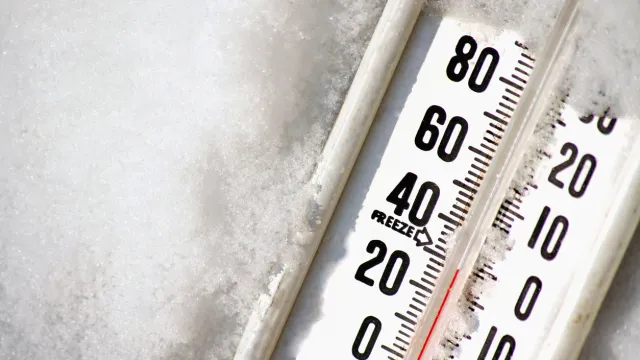
Changes in the “polar vortex” can bring very low temperatures.

People in most areas already associate winter with much colder conditions. But in some cases, drastically chilly temperatures can be caused by a “polar vortex” shift.
Winter weather is typically stabilized by a stream of air flowing west to east in the upper atmosphere that helps prevent frigid arctic temperatures from flowing down into more southern latitudes, according to the National Weather Service (NWS). However, disruptions can sometimes weaken the flow, allowing the colder airmass to push into the continental U.S.
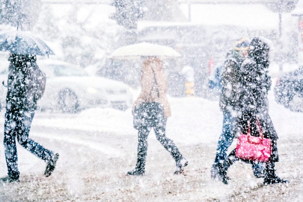
This winter has already seen a few instances of atmospheric shifts leading to widespread cold snaps, even well into the typically balmy south and southeast regions. But after rebounding to much milder temperatures, forecasts suggest another chill might be on the way.
RELATED: Widespread Blackouts Predicted for 2024—Will They Hit Your Region?
One forecast model predicts chillier temperatures around the middle of this month.

It may not be time to pack away those heavy coats just yet. According to Judah Cohen, director of seasonal forecasting for Verisk Atmospheric and Environmental Research, forecast models currently show that a “polar vortex disruption” could be on the horizon, MLive reports.
The latest near-term outlook shows the progression of cold polar air over the next two weeks in which a concentrated vortex surrounded by a high-pressure system begins to stretch around Feb. 15. Five days later, the model shows the system splitting and changing its trajectory to send colder air down to the northern U.S.
From then on, the mercury looks like it could drop. A temperature forecast map for Feb. 16 through Feb. 20 shows that large swaths of the Midwest, Northeast, and northern areas of the Southeast could see temperatures around five degrees colder than the average—which means some places could be well below freezing.
RELATED: 9 Dangerous Things You Should Never Do During a Thunderstorm.
Other models see a similar trend—which could mean more heavy snowfall if conditions are met.
Cohen wasn’t alone in his prediction of a mid-February cold snap. During a segment on Feb. 2, Fox Weather meteorologist Britta Merwin estimated that “we have a little more winter weather to get through” before the true spring thaw begins—which could also affect the chances of snow in parts of the country.
To illustrate her point, Merwin brought up the National Oceanic and Atmospheric Administration’s (NOAA) seasonal forecast, which she said might be misleading in calling for slightly warmer than average temperatures overall in February for much of the U.S.
“This is an average for the entire month—[as in] every single day in February, we’ll add up the temperatures and divide it by the amount of days,” she explains. “It doesn’t mean you’re not going to have cold weather, just that means that the majority of it is going to be warm, so we can still get cold air.”
She then pointed to computer models anticipating a drop in temperatures in the middle of this month due to a polar vortex disruption.
“It means that arctic air is going to break away from the poles and move into the northern part of the U.S.,” Merwin said. “This is what’s key for winter weather across areas like the Great Lakes in the Northeast. We have to have that arctic air move into the country for us to get big snowstorms.”
Meteorologists say the chances of brutal winter weather will likely decrease after February.
But while the upcoming cold snap might remind us that spring is still weeks away, there may not be much on the other side of it. Merwin points out that the winding down of winter begins to decrease the likelihood of colder, snowier weather in most areas.
“The sun angle, for instance—we’re going to be going into springtime, and each day gets longer and longer [and] we get more sunlight,” she explained during the Feb. 2 segment. “We’re battling to find the cold air, and it gets harder to pull off bigger snowstorms for many regions across the U.S. as we go into March.”
Other extended forecasts predict that some areas will get early warmth while others will have to wait a little longer. According to Accuweather, parts of the Northern tier could see an earlier spring, while those in the Four Corners region could see a bit of an extended winter. Those in the Southeast might also see a slower transition than usual over March, with warmer weather not taking off until the second half of the month.
RELATED: For more up-to-date information, sign up for our daily newsletter.