15 Places in the U.S. You Won’t Be Able to Fly to Anymore
For the past six months, the travel industry has been at a standstill due to the coronavirus pandemic. And while airlines attempt to draw frequent fliers back, many people are staying home to flatten the curve and prevent the spread of COVID-19. This has led carriers to ground planes and reduce the number of operating flights. Until now, airlines could not completely cut routes, due to a CARES Act mandate that says all areas in the U.S. should still be accessible. But that rule ends this fall, and carriers are now ending service—meaning when it is fine to hit the skies once more, a handful of destinations will be difficult to reach.
American Airlines was the first to announce that it would cancel flights to 15 cities and towns around the country. According to a statement on Aug. 20, the suspension will be in effect starting Oct. 7 and will continue through Nov. 3, however it is likely that service could be stopped indefinitely. So, read on, and find out which places will soon be off-limits. And for areas you can actually go to, check out the 13 Underrated Places That Americans Are Allowed to Visit Now.
1
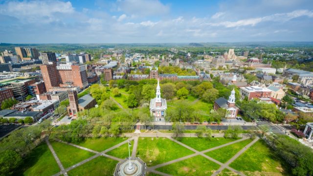
Springfield, Illinois
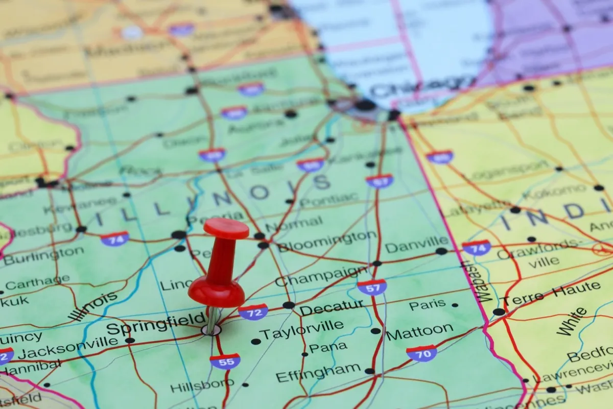
Airport code: SPI
Springfield is the state capital of Illinois and the one-time home of President Abraham Lincoln. It is 100 miles north of St. Louis, Mo., and 200 miles south of Chicago.
2
New Haven, Connecticut
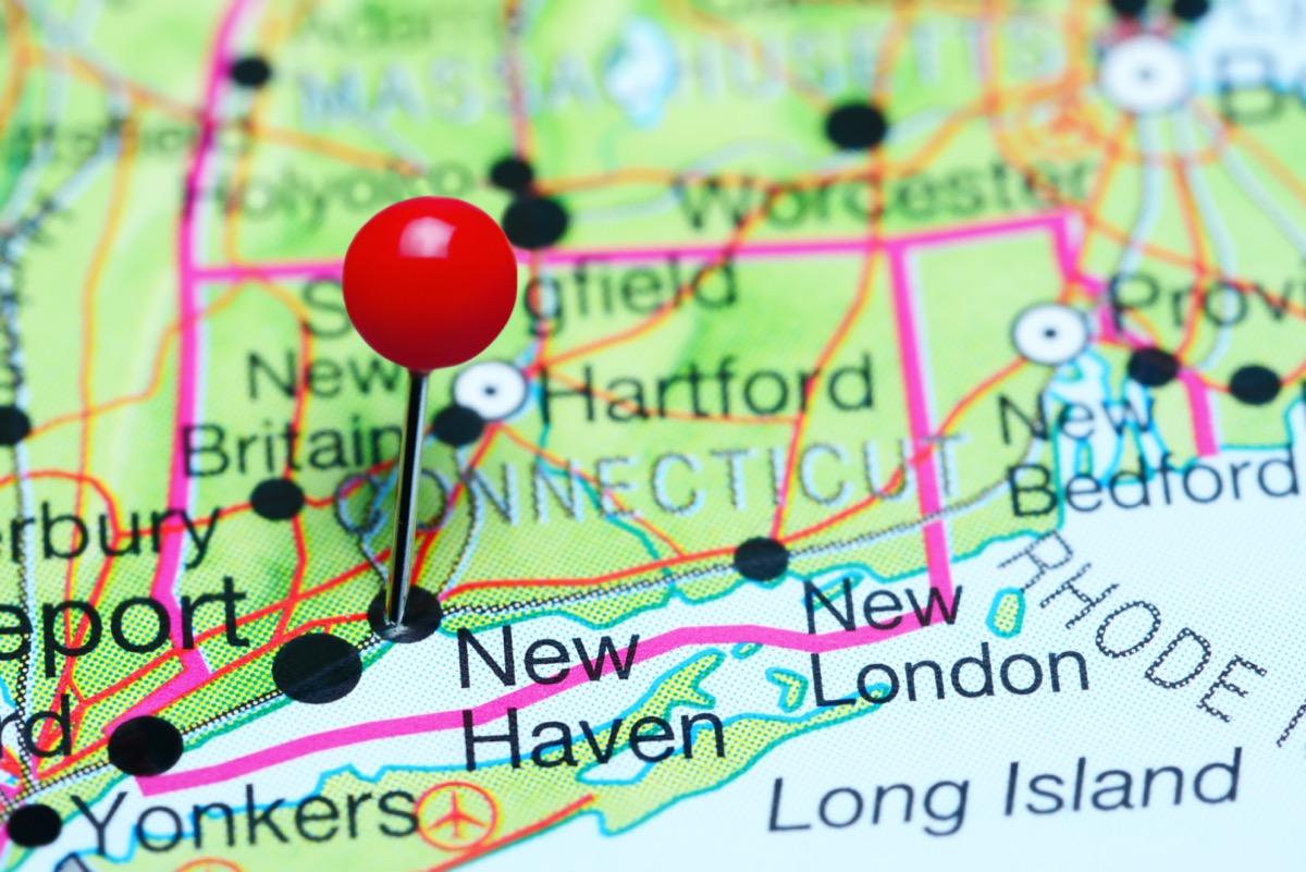
Airport code: HVN
New Haven is a coastal city perched on the shores of the Long Island Sound and home to Yale University. It is 40 miles south of Hartford, and 80 miles north of New York City. And for more safe escapes to drive to, check out the 9 Easy Weekend Getaways on the East Coast.
3
Del Rio, Texas
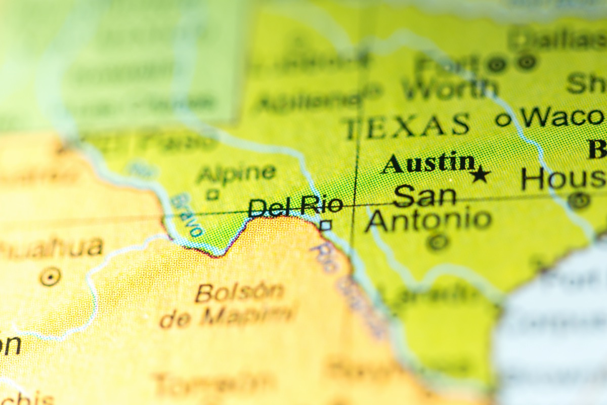
Airport code: DRT
Del Rio is a small city on the border of Texas and Mexico, 150 miles west of San Antonio.
4
Greenville, North Carolina
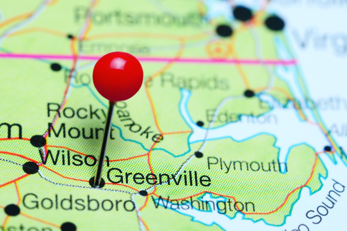
Airport code: PGV
Don’t confuse this town with Greenville, S.C., which is a much larger outpost in the foothills of the Blue Ridge Mountains. The North Carolina sibling is a quaint riverfront enclave, 85 miles east of Raleigh. And for more adorable districts, check out The Most Beautiful Small Town in Every State.
5
Roswell, New Mexico
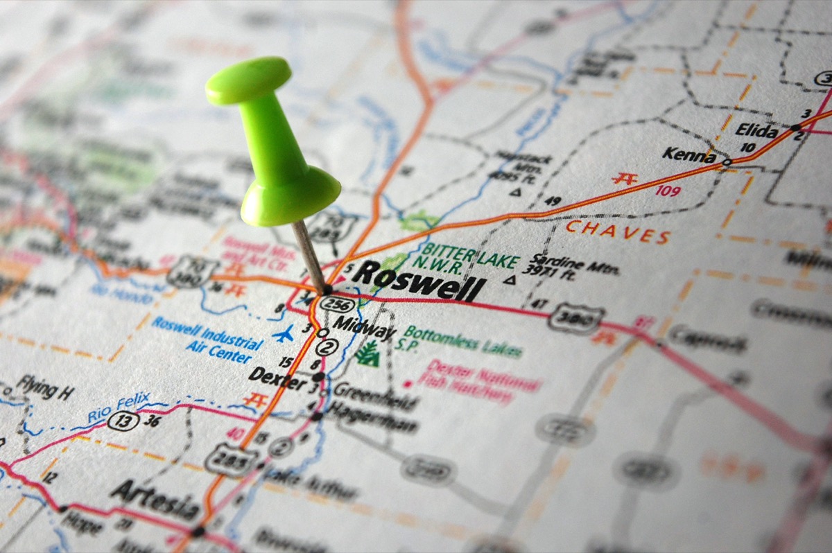
Airport code: ROW
Roswell is famous for its alleged alien sightings and UFO research center. It is 200 miles southeast of Albuquerque and 200 miles northeast of El Paso, Texas.
6
Joplin, Missouri
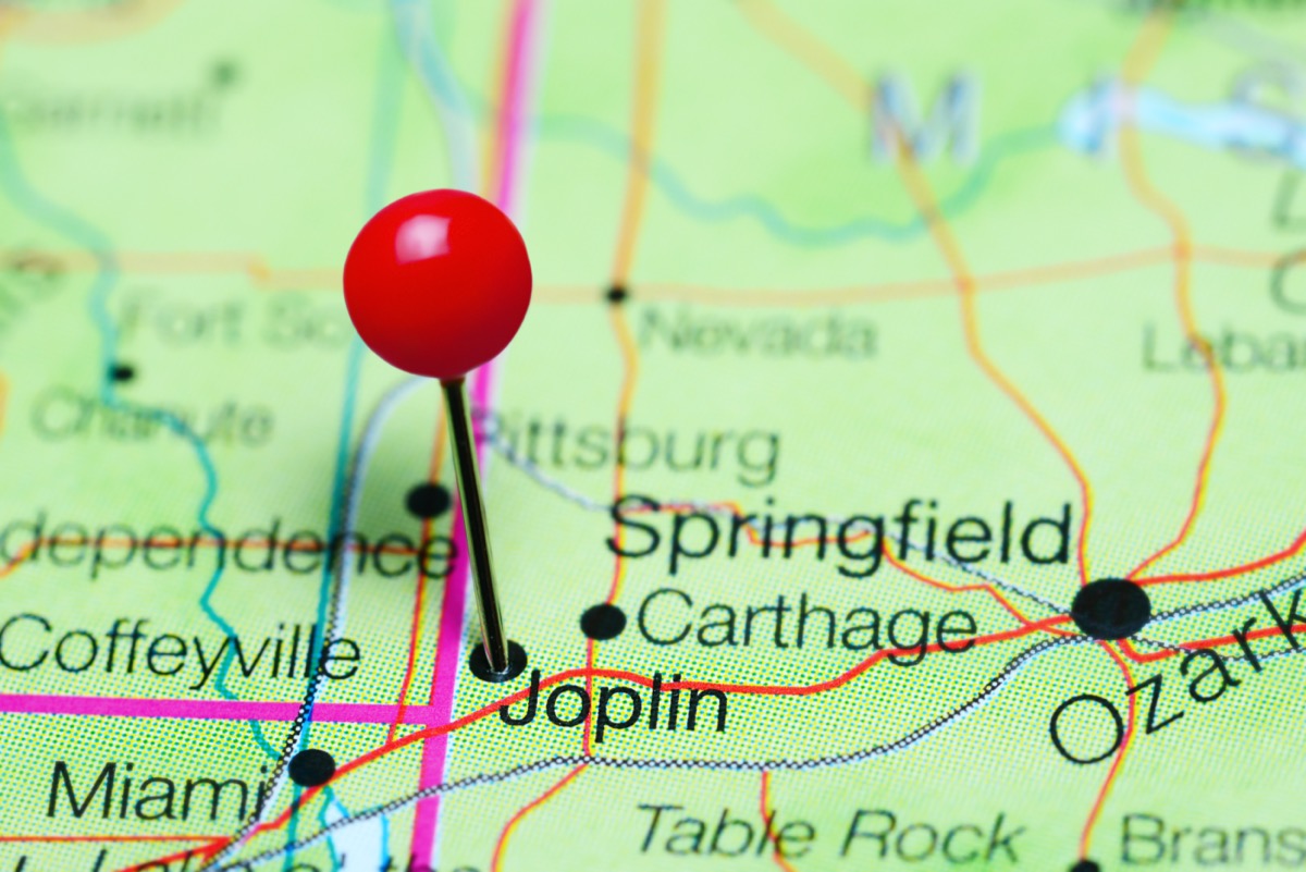
Airport code: JLN
Joplin is a major metropolitan area in southwest Missouri, just off of historic Route 66. It is 150 miles south of Kansas City, Mo.
7
New Windsor, New York
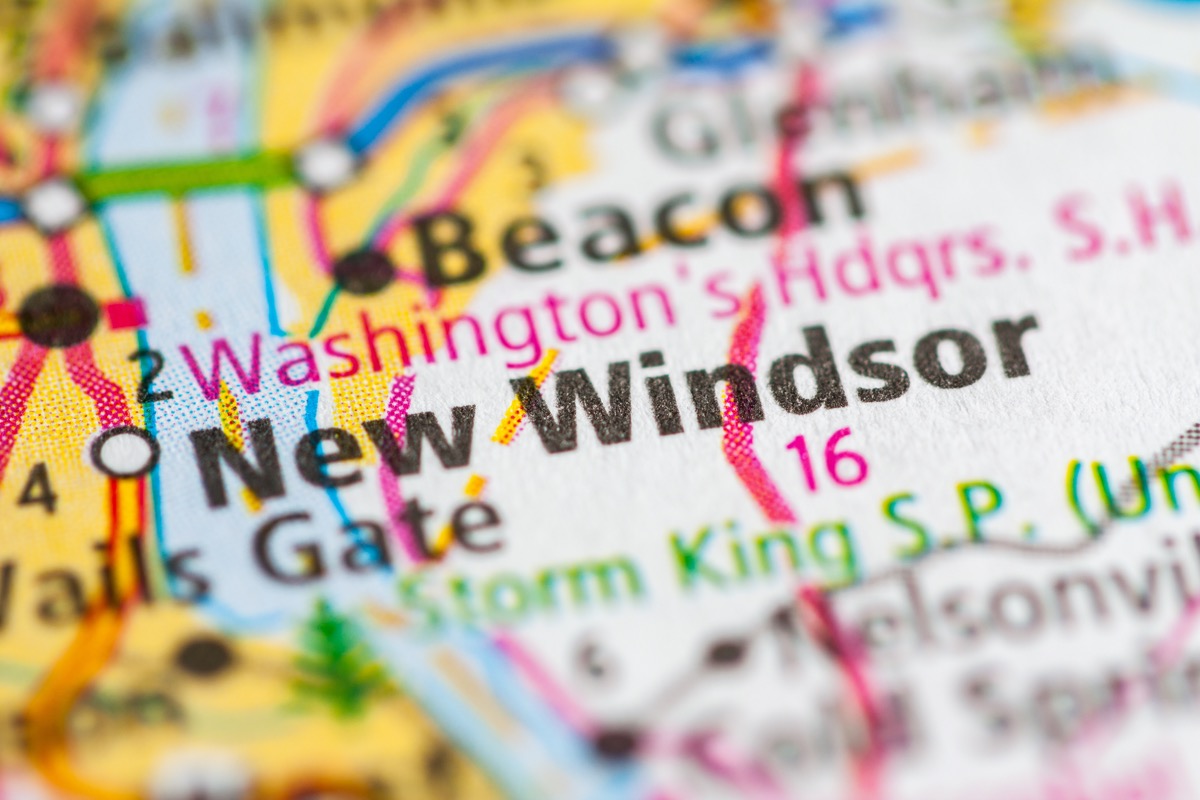
Airport code: SWF
New Windsor is a charming hamlet along the Hudson River, near the Catskill Mountains. Roughly 70 miles north of New York City, it is a popular getaway for Manhattanites looking for a break from the concrete jungle. And for more gorgeous drives, These Are the Best Road Trips in New England.
8
Kalamazoo, Michigan
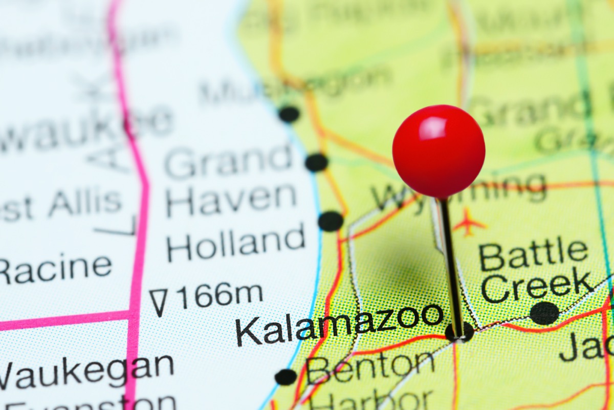
Airport code: AZO
Kalamazoo is a manufacturing and industrial hub along its namesake river. It sits 50 miles south of Grand Rapids.
9
Lake Charles, Louisiana
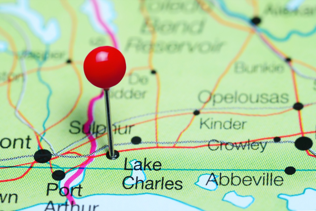
Airport code: LCH
Lake Charles is a lively creative community hidden in the Louisiana bayou. It is 140 miles east of Houston, Texas, and 200 miles west of New Orleans.
10
Sioux City, Iowa
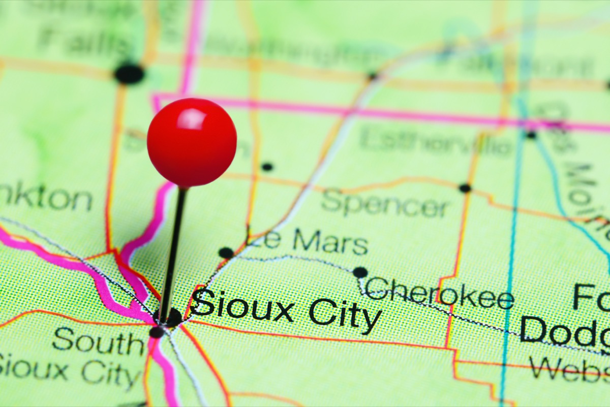
Airport code: SUX
Sioux City is an underrated destination on the Missouri River. It is 85 miles south of Sioux Falls and about 100 miles north of Omaha, Neb.
11
Florence, South Carolina

Airport code: FLO
Florence is a small stopover along I-95, the main highway that runs up the East Coast. It marks the half-way point (115 miles) between Charleston, S.C., and Charlotte, N.C.
12
Huntington, West Virginia
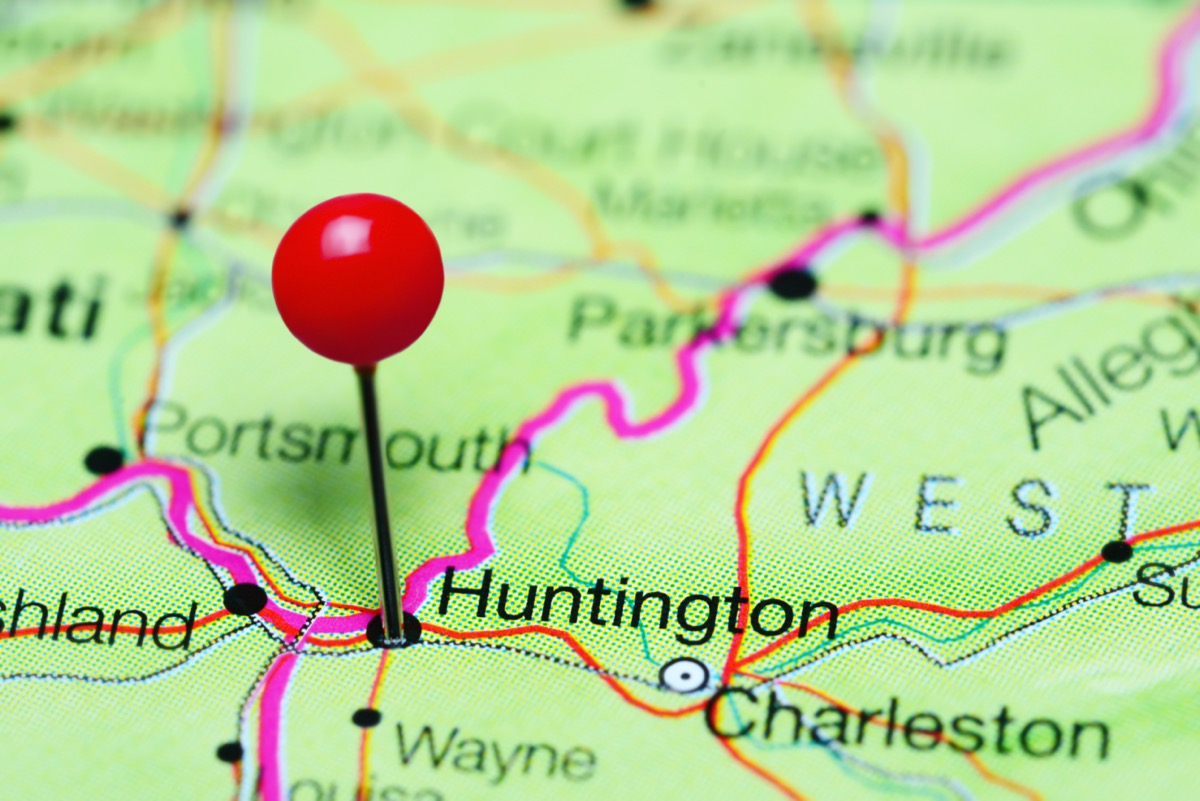
Airport code: HTS
Set along the Ohio River bordering both Kentucky and Ohio, Huntington is the largest city in this region of West Virginia. It is 130 miles equidistant from Lexington, Ky., as well as Columbus and Cincinnati, Ohio.
13
Stillwater, Oklahoma
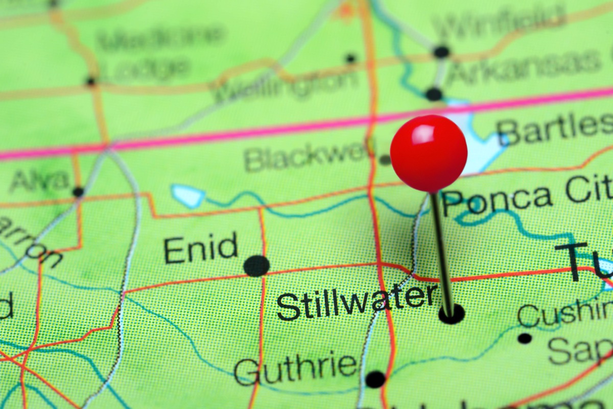
Airport code: SWO
Stillwater is the tenth largest city in the state and a quick day trip from Tulsa and Oklahoma City, both 65 miles away.
14
Williamsport, Pennsylvania
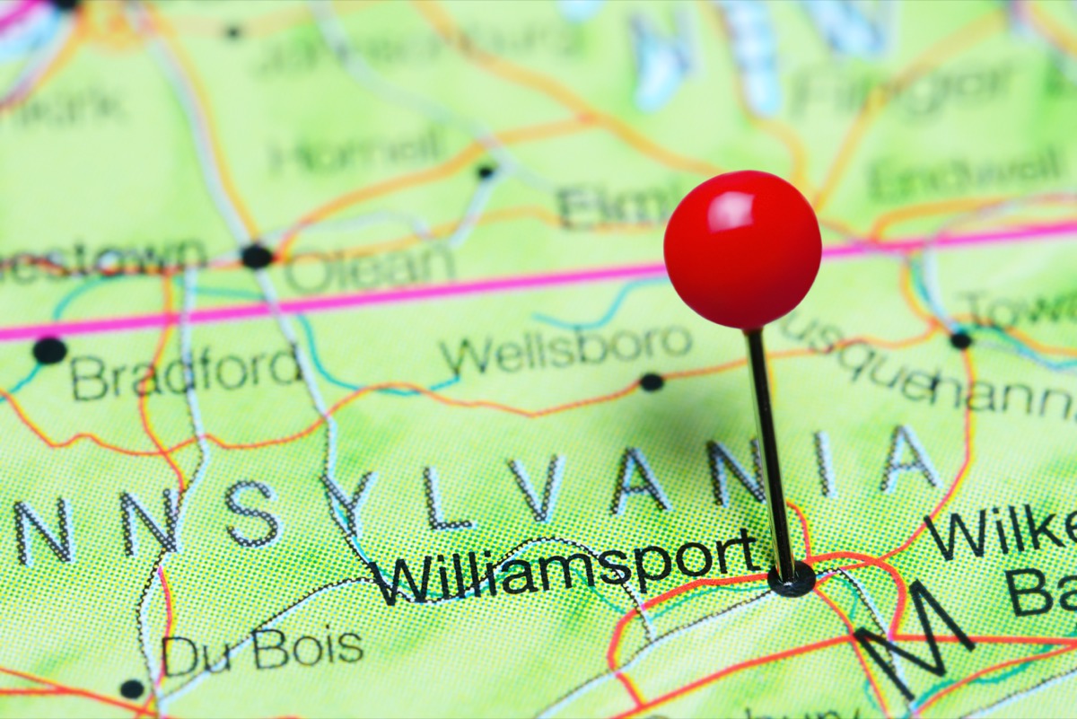
Airport code: IPT
This riverside town is where you’ll find the Pennsylvania College of Technology campus. It is 85 miles from Harrisburg and Scranton.
15
Dubuque, Iowa
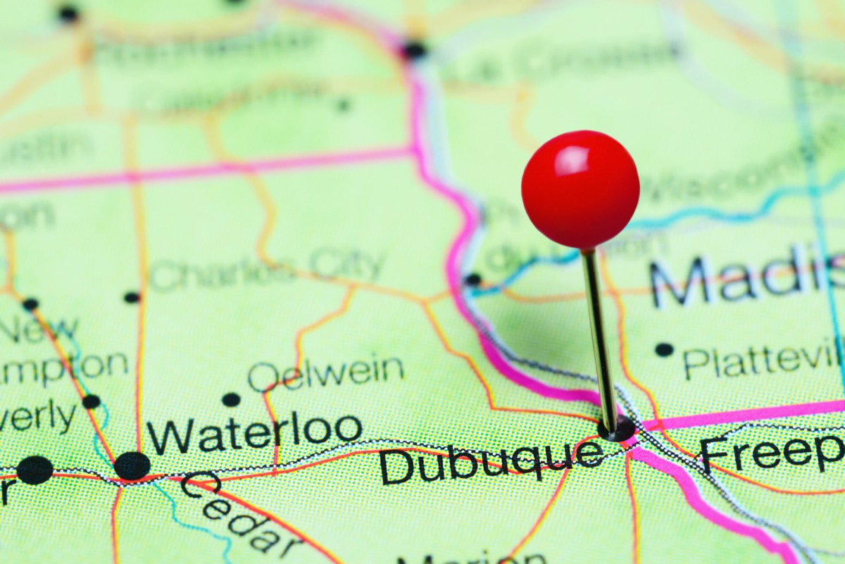
Airport code: DBQ
Dubuque hugs the Mississippi River, 200 miles east of Des Moines. And for more accessible waterfront areas, check out the 17 Stunning Islands That Americans Are Allowed to Visit Now.