The 6 States Hurricane Laura Is Projected to Hit the Hardest
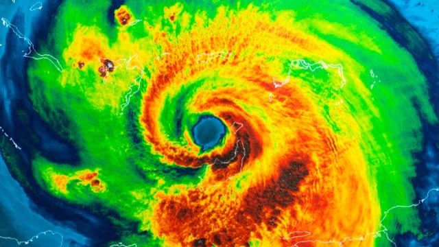
At roughly 1am last night, Hurricane Laura—a Category 4 storm said to be the most powerful the Gulf Coast region has seen in a century—officially made landfall near Cameron Parish, Louisiana. In its wake, the National Hurricane Center has predicted that “unsurvivable” storm surges of 15 to 20 feet may decimate parts of the region. So far, the sustained winds of 150 m.p.h. have knocked out power for hundreds of thousands of coastal residents.
Though the storm system has lost power since making landfall, it is only starting wreak havoc across the Southern U.S. Over the next 24 to 48 hours, it is predicted to travel northeast across the southern and mid-south regions, bringing with it dangerously high wind speeds and, at times, torrential rain. Given the path that it is currently on, experts say Hurricane Laura will likely hit the following states the hardest. Read on to see if your state is among them. And for more information about these brutal storm systems, don’t miss these 18 Hurricane Facts That Will Put You in Awe of Mother Nature.
1
Louisiana
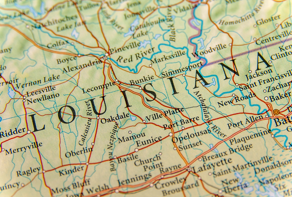
Since Hurricane Laura made landfall, the Bayou State is suffering the worst, and largely from high-power winds measuring up to 150 mph. But it is the dangerous 15 to 20-foot storm surge that has residents of the region pounded by Hurricane Katrina ultimately worried, as the flooding could penetrate as far as 40 miles inland. An extreme wind warning has been issued for the coastal area of Louisiana, including Lake Charles and Cameron Parishes. Residents have been advised to shelter in place in the most interior room of the lowest dry floor of their homes.
2
Texas
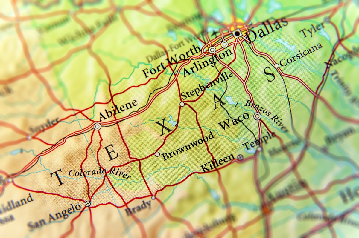
The Lone Star State avoided the brunt of Hurricane Laura’s wrath when the storm system turned north into Louisiana in the last few hours before making landfall. But it’s not all good news for Texans, as the hurricane landed on the other side of the Texas-Louisiana border. Residents of Jefferson County, home to cities such as Beaumont and Port Arthur, will feel the most profound effects of the hurricane. A devastating storm surge brought by the hurricane could mark the latest in a string of devastations for Texans in that region, where some are still recovering from damage caused by Hurricane Harvey in 2017.
According to the power company Entergy Texas, tens of thousands of homes in the area were without power by 1am this morning.
3
Arkansas
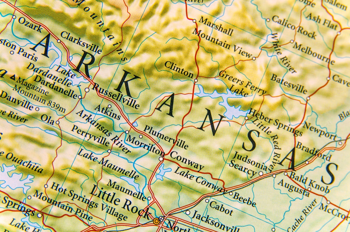
The director of the National Hurricane Center noted on Thursday morning that while the storm system will weaken after landfall, it is expected to remain a hurricane as it travels northward throughout Louisiana on Thursday. “We expect Hurricane Laura to still be a hurricane even when you get up to Shreveport, right on the Arkansas border,” he said on CNN’s New Day. Even if the wind speeds lower to the level of a tropical storm, it will present a potentially dangerous situation for residents of the southeastern part of The Natural State.
4
Mississippi
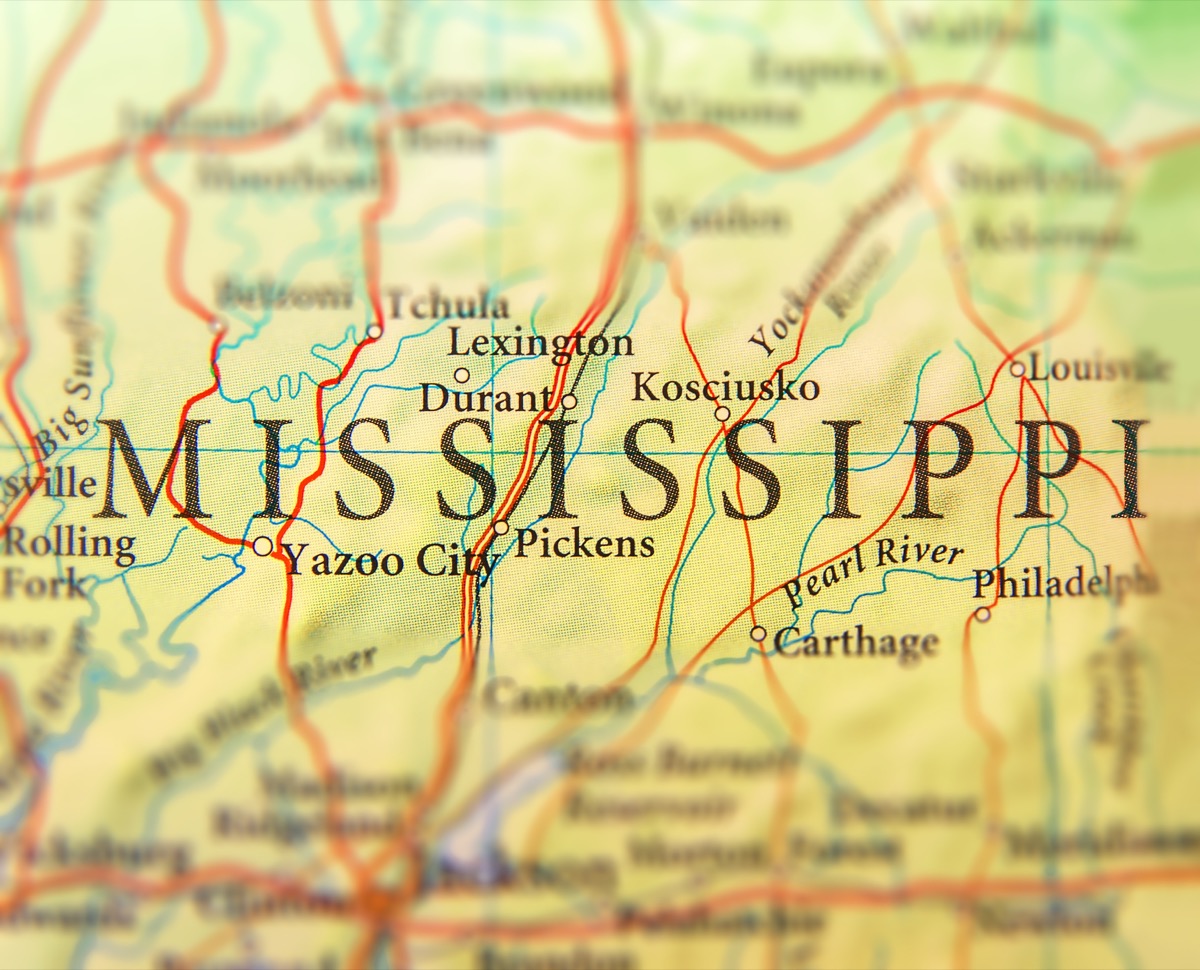
The National Weather Service warned Mississippi residents that damaging wind gusts and possible tornadoes could hit the western and central parts of the state Thursday as Hurricane Laura tracks inland. Flash flooding and sustained winds of 30-40 mph—with gusts of up to 50 mph—are expected in the westernmost areas of Mississippi, including Bastrop, Winnsboro, and Natchez.
5
Tennessee
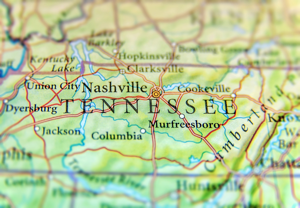
By the time this storm system reaches Tennessee, it will most certainly be downgraded to a tropical storm. Nonetheless, the southwest part of the Volunteer State, in particular Shelby County, will see rainfall of 1 to 4 inches and wind gusts at 30-45 mph beginning Thursday evening. Isolated, weak tornadoes are also possible late Thursday night overnight and through the day on Friday, according to meteorologists at Fox13 in Memphis.
6
Missouri
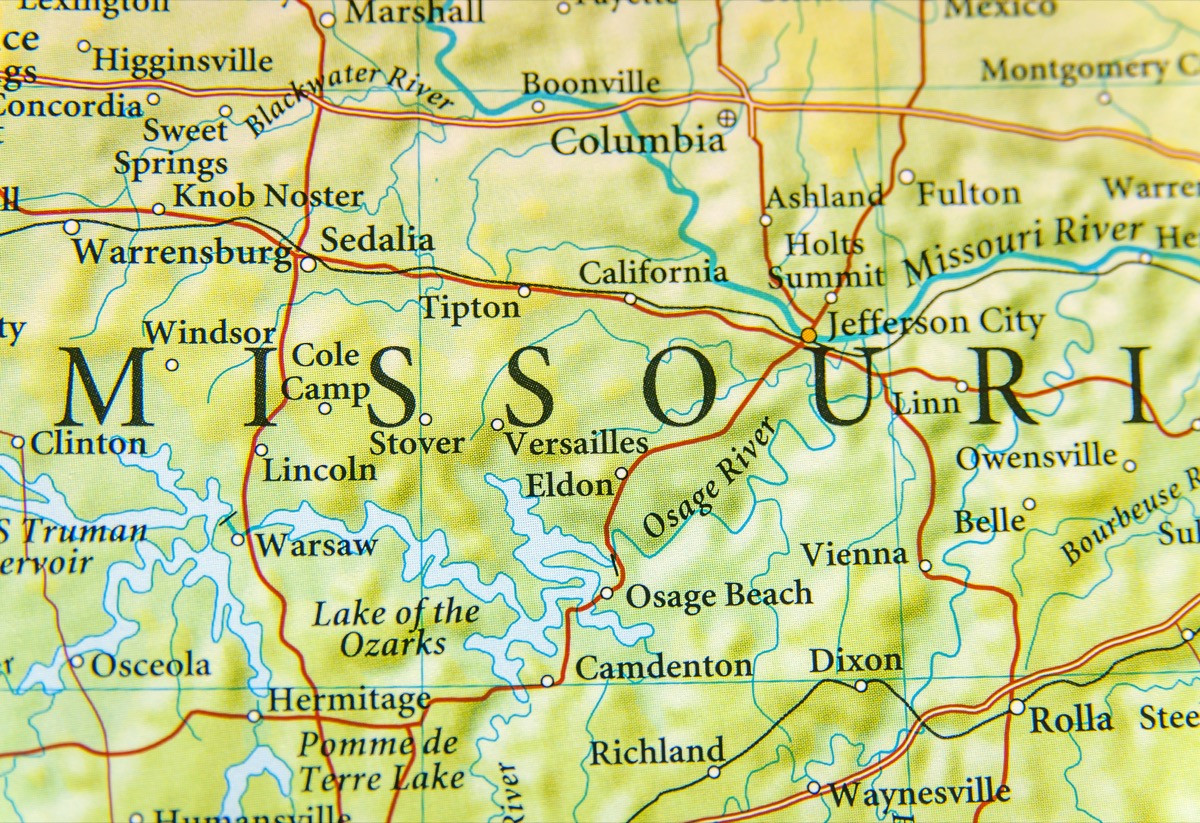
The storm system will be much weaker by the time it hits the southeastern-most part of the Show Me State, in particular the city of Cape Girardeau. Jessica Sexton, the assistant emergency management director for the Cape Girardeau Fire Department, warned that 40-mph winds are possible. Those are gusts strong enough to knock down power lines and leave thousands without electricity.