New Forecast Predicts Very Active Hurricane Season—How It Will Affect You
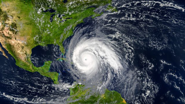
Just like snowy winters and summer heat, each hurricane season can behave very differently than the one before it. And while there’s nothing we can do to stop a severe storm from approaching, scientists can still use data to get a better idea of what we can expect in the months to come. Unfortunately, the news isn’t always good: A new long-range forecast predicts this year could see a very active hurricane season. Read on to see why scientists say recent changes are “not good news.”
RELATED: New Spring Forecast Shows Which U.S. Regions Will Be Warmer and Wetter This Year.
A historically strong El Niño is beginning to show signs of weakening.
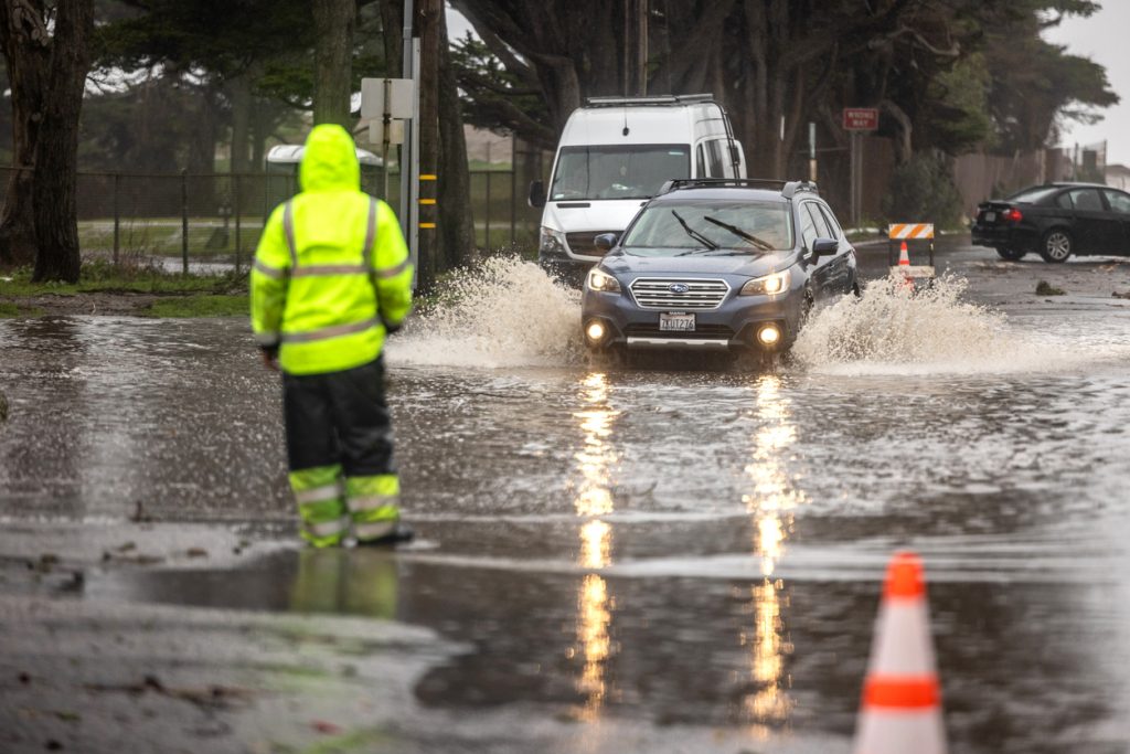
This winter has had no shortage of extreme weather, and some of that can be attributed to El Niño. The periodic phenomenon occurs every two to seven years when surface temperatures in the Pacific Ocean off the coast of South America run above average, according to the National Oceanic and Atmospheric Administration (NOAA).
This change famously affects weather patterns across the U.S. and elsewhere. According to the California Coastal Commission, this winter’s record rainfall, snowfall, and flooding in California fall in line with other El Niño years for the region. It’s also been historically strong, ranking among the top five El Niños ever recorded, Axios reports.
However, new information shows that conditions are beginning to change, which could set the stage for other significant weather impacts.
RELATED: Widespread Blackouts Predicted for 2024—Will They Hit Your Region?
La Niña has a high chance of developing within months, which could amplify Atlantic storms.
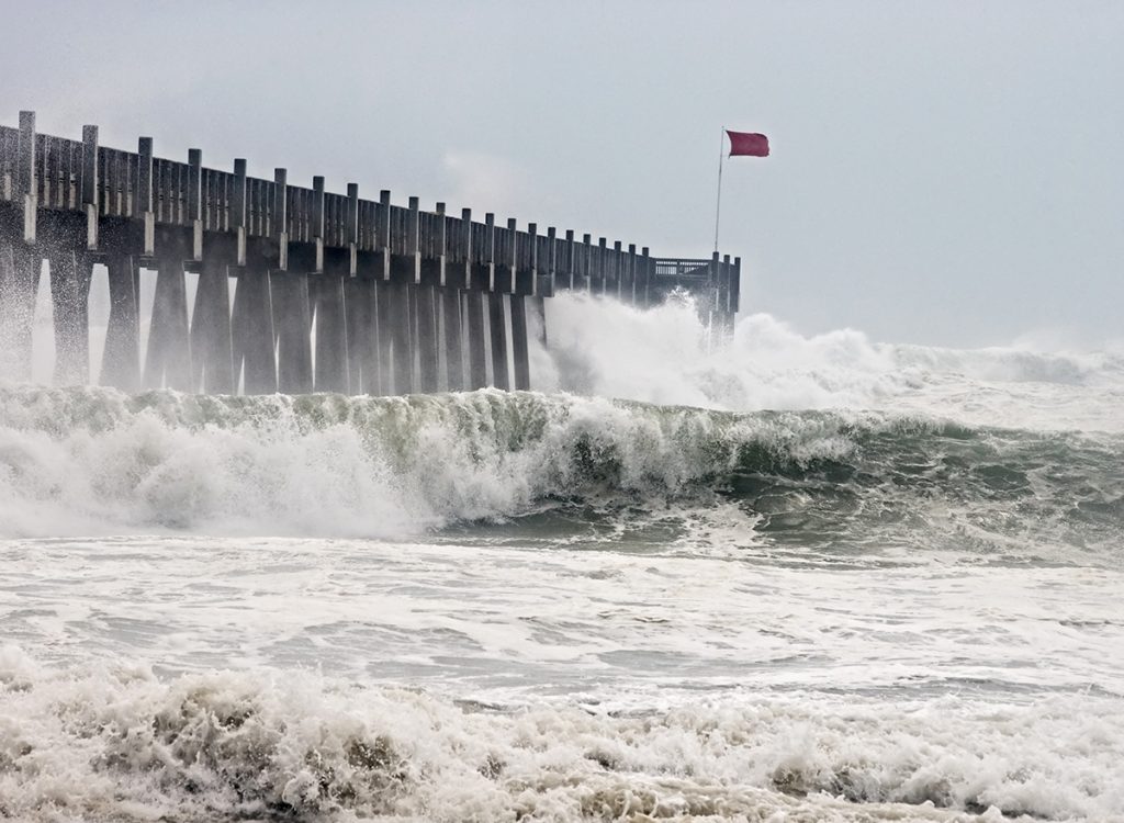
While it can partly be responsible for generating more extreme weather, El Niño is also helpful in keeping some other storms at bay. Last year, record-high ocean temperatures in the Atlantic Ocean helped fuel a highly active hurricane season. But thanks to wind shear generated by the warm water conditions in the Pacific, only one full-fledged hurricane was able to make landfall in the U.S., USA Today reports.
However, that same protection likely won’t be in place this year. New data shows that El Niño’s warm waters are beginning to cool quickly and could be replaced by colder-than-average water within months, ushering in a La Niña phase of the area’s cycle, per USA Today. These conditions remove the wind shear that keeps storms from forming and reaching the coast.
According to David Zierden, a climatologist with Florida State, current forecasts show a 75 percent or greater chance that La Niña conditions will develop during hurricane season—which could tip long-range forecasts into predicting a highly active year for storms.
RELATED: Live in These 10 Places? You’re Most at Risk for “Extreme Winter Weather.”
Combined with record-high Atlantic Ocean surface temperatures, it’s “not good news” for hurricane season.
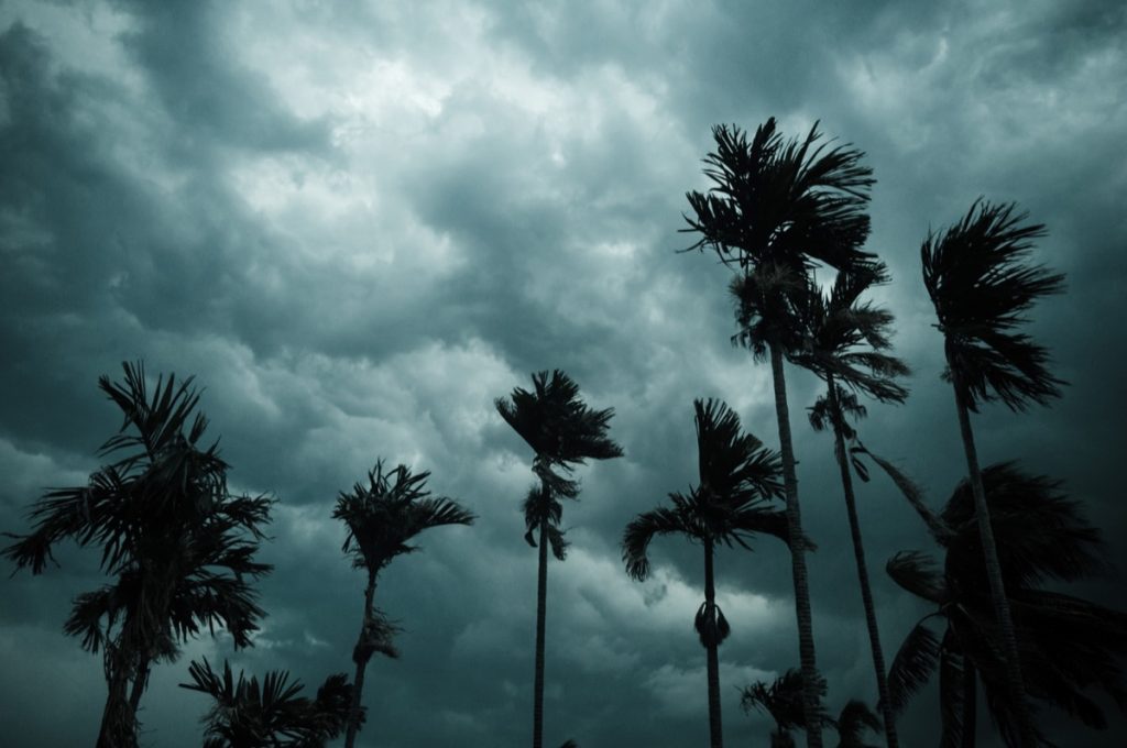
And it’s not just changing Pacific temperatures that could also make this a bad hurricane season. Waters in the Atlantic off the coast of Africa provide fuel for building more powerful and frequent storms. According to Jason Dunion, a meteorologist at the University of Miami and the National Oceanic and Atmospheric Administration’s Hurricane Research Division, the area could be considered a “hurricane nursery” and is a “really important place” in determining how the season might shape up, per USA Today.
Dunion says that readings show temperatures in that area are already one to three degrees Celsius warmer than average. He warned that starting from such heights before spring might mean conditions will become more dire.
The combination of the two precursors could set us up for a harsh year. “We’ve got possibly extremely warm sea surface temperatures, especially in the main (hurricane) development region, and the prospect of La Niña being in place,” Zierden told USA Today. “That’s not good news for hurricane season.”
It may be too soon to call for this year, but other data points to a bigger-picture problem.
Even in the face of mounting evidence, some researchers are holding off on raising alarm bells. In its recent outlook, the World Meteorological Organization (WMO) said that a “spring prediction barrier” made it harder to determine whether La Niña conditions would develop in time to impact storm and hurricane generation, Axios reports. But the organization also cited other climate change-related issues that could be at play.
“Ocean surface temperatures in the equatorial Pacific clearly reflect El Niño. But sea surface temperatures in other parts of the globe have been persistently and unusually high for the past 10 months,” WMO Secretary-General Celeste Saulo said in a statement. “The January 2024 sea-surface temperature was by far the highest on record for January. This is worrying and can not be explained by El Niño alone.”
Other experts point out that while the larger outlook may point towards more storms, it still doesn’t provide the details that could determine a truly active season. “The problem is we all live in the little picture, and they just don’t tell us what could happen or where it would happen exactly where we live,” Alan Sealls, a retired television meteorologist and adjunct professor at the University of South Alabama, told USA Today.
Still, some officials warn coastal residents to prepare for a brutal season ahead, noting that even one storm during a slower season could be catastrophic to an area. “You can’t hang your hat on hope, you hang your hat on being prepared,” Mike Steele, director of communications for the Louisiana Governor’s Office of Homeland Security and Emergency Preparedness, told USA Today.