Spring Will Kick Off With 5+ Inches of Snow and Freezing Temps in These Regions
Of all the seasons, winter tends to feel the most tedious the longer it drags on. After all, it can be hard to face harsh conditions again once you’ve felt the first hints of warmth or seen plants and trees begin to bud. Unfortunately, some will see spring kick off this week with snow and another wave of freezing temperatures. Read on to see which regions can expect at least one last chilly blast before the new season begins to move in.
RELATED: Signs Now Pointing to an “Explosive Hurricane Season” This Year, Scientists Warn.
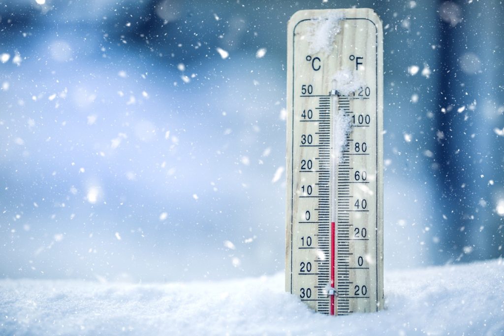
Data shows this past winter was relatively mild compared to normal.

Winter will officially conclude on March 19, when the spring equinox arrives. But despite a few notable temperature drops, many may be wondering how the chilliest season never really seemed to develop.
According to data, temperatures in some typically colder places have been well above their typical averages since the winter solstice on Dec. 21. Cities like Boston were 4.2 degrees higher than usual, while New York City was up 5.3 degrees, Chicago was up 7.5 degrees, and Minneapolis was 10.9 degrees warmer, AccuWeather reports.
These conditions have also translated into a notable drop in snow accumulation for some regions. Boston, Minneapolis, and New York City saw a quarter to a third of the amount of white stuff this year compared to historical averages. At the same time, Chicago only received 62 percent of its typical snowfall.
The last weeks of winter have been especially steamrolled by spring, with cities including Chicago, Detroit, Cleveland, Pittsburgh, and Buffalo all posting temperatures that are 10 to nearly 14 degrees warmer than their historical averages for March so far, AccuWeather reports.
RELATED: New Spring Forecast Shows Which U.S. Regions Will Be Warmer and Wetter This Year.
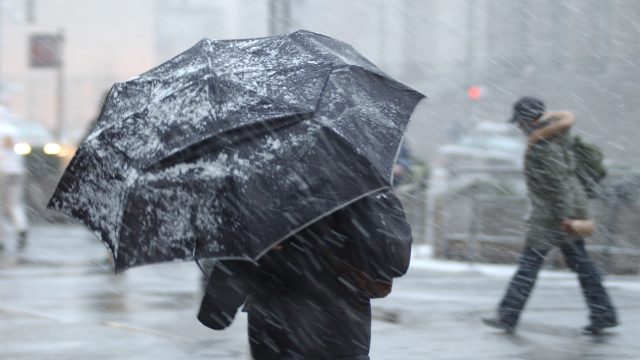
A cold blast will chill down some regions right as spring begins.
But even as we mark the official end of winter, the elements could leave some second-guessing as to which season it is in the coming days. The Midwest, Northeast, and Southeast are expected to mark the beginning of spring with freezing temperatures through at least Wednesday, Fox Weather reports.
Forecasts show a dip in the jet stream is expected to pull colder air down from Canada beginning today, breaking a recent warm spell that brought warmer temperatures over the weekend. Freeze warnings are now in effect for more than 23 million people in the interior Southeast through the morning of March 19, including Arkansas, Mississippi, western Tennessee, Alabama, northern Georgia, western South Carolina, and Charlotte, North Carolina, per Fox Weather.
Tuesday morning will also see temperatures plunge in the Northeast and Mid-Atlantic. New York City is expected to drop to 45 degrees from a high of 60 degrees on March 16, while Philadelphia’s high of 45 degrees on March 19 will match its historical average for the same date in February, CNN reports.
Overall, the sudden drop will see 133 million people in areas experiencing below-average temperatures on Tuesday, per Fox Weather.
RELATED: Live in These 10 Places? You’re Most at Risk for “Extreme Winter Weather.”
Some places could also get five or more inches of snow this week.
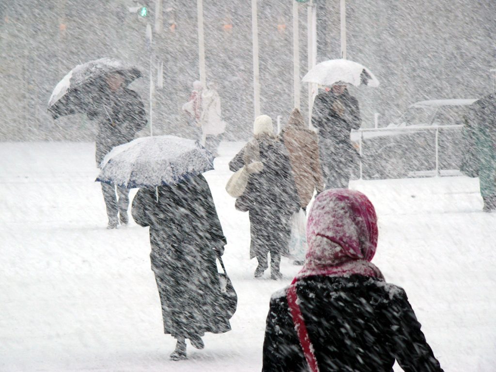
And it won’t just feel colder out in some areas. Forecasts show that snowstorms could hit the Midwest and Northeast just as spring starts due to an approaching weather system, Fox Weather reports.
The heaviest hit areas will likely be pockets of Upstate New York, where lake-effect snow could total as much as a foot or more around Syracuse and Watertown and up to five inches to Michigan’s Upper Peninsula. However, atmospheric conditions could also create snow squalls ranging from Maine through western Pennsylvania, where one to five inches could fall through March 20, per Fox Weather.
“The situation is a bit more complex than last weekend as there will be some disturbances riding along with the jet stream dip, and these will cause the extent of the flurries and snow showers to fluctuate,” AccuWeather meteorologist Ryan Adamson said in a forecast update.
The week could close out with heavy rain and thunderstorms for parts of the South.

As jarring as they may be, some places won’t have to deal with the remnants of winter for too long before another stark change takes place. Heavy rain and severe thunderstorms are possible for parts of the Southeast beginning on March 21, with an area spanning from Oklahoma and eastern Texas through North Carolina potentially affected, AccuWeather reports.
“We are monitoring the pattern along the Gulf Coast states and even up the East Coast later this week and into the upcoming weekend,” AccuWeather meteorologist Alyssa Glenny said. “Depending on how the storm evolves, another chance for torrential downpours and damaging thunderstorms can arise.”
While it’s too early to predict its path, forecasts show it’s possible the system could veer north and bring torrential rain and heavy winds to the Eastern Seaboard in time for next weekend.