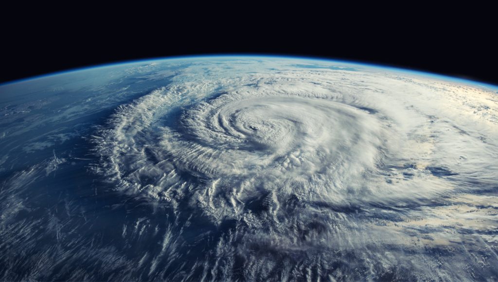
Signs Now Pointing to an “Explosive Hurricane Season” This Year, Scientists Warn
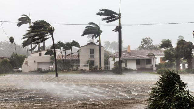
It can be challenging to plan for all the weather that happens in a week, let alone what’s coming down the line in a few months. But when it comes to extreme storms like hurricanes, it pays to be prepared for the worst if conditions suggest a particularly bad year. That’s why researchers spend a lot of time combing through data to get a good picture of what level of storm activity we might expect. Unfortunately, scientists now warn signs are pointing to an “explosive hurricane season” this year. Read on to see why the outlook is dire and what it could mean for you.
RELATED: New Spring Forecast Shows Which U.S. Regions Will Be Warmer and Wetter This Year.
Record-high ocean temperatures helped fuel last year’s hurricane season.

Part of what’s shaping the current outlook is pulled from previous storm seasons—especially last year’s. According to the National Oceanic and Atmospheric Administration (NOAA), 2023 ranked as the fourth-most active year for named storms to develop since 1950 with a total of 20, including seven hurricanes. This beats the overall average of 14 per season.
In its roundup, the agency noted that record-warm surface temperatures in parts of the Atlantic helped storms form and strengthen. Some experts suggested that this extreme starting point could set up the following season to be equally active.
“The Atlantic Ocean last year had some very warm sea surface temperatures—in fact, record warm in places,” Adam Lea, PhD, a climate physicist at TropicalStormRisk.com, said during an interview with Fox Weather in January. “With all that heat that’s accumulated in the oceans, it’s going to take a long time for all that to dissipate.”
RELATED: Live in These 10 Places? You’re Most at Risk for “Extreme Winter Weather.”
Experts now say sea conditions are already breaking records once again.
Unfortunately, the latest data may show previous predictions to be true. In an interview with CBS Mornings on March 12, Weather Channel meteorologist Stephanie Abrams said that the average global sea temperature currently stands at 69.9 degrees, marking the highest point ever recorded.
Research has found signs of warming up in many corners of the globe, including in the Arctic which could stand to lose about 400,000 square miles of ice coverage before the end of the decade. But notably, Abrams said the North Atlantic is also trending above average at just above 68 degrees. This marks the highest start to the year ever recorded for the tropical storm and hurricane origin point, already matching conditions seen in May.
RELATED: “Extended Winter” May Keep Things Cold in These Regions, Meteorologists Predict.
Other changing ocean patterns could make hurricane season even worse.
But while surface temperatures are still above average in the Atlantic, there will be one notable difference with last year’s hurricane season. Researchers noted a historically strong appearance of El Niño in 2023, a periodic cycle when warmer waters develop off the coast of South America in the Pacific.
While it infamously can create extreme weather in some places, El Niño can also suppress hurricane development and landfall by generating wind shear in the atmosphere, National Geographic reports. However, that likely won’t be the case for this season.
Scientists have noted that El Niño appears to have peaked and is giving way to La Niña, its colder-temperature counterpart, USA Today reports. The phenomenon has the opposite effect, reducing wind shear and making conditions favorable for more numerous and powerful storms to form. Forecasts now suggest there’s a 75 percent chance it will appear sometime during hurricane season—which could be a dangerous mixture of conditions.
“The combination of La Niña and record warmth in the Atlantic could make for an explosive hurricane season,” Abrams told CBS.
Hurricanes might also develop later in the year than usual.
According to NOAA, hurricane season officially kicks off on June 1 and ends on Nov. 30. However, experts warn that the late arrival of La Niña could extend storm production a bit and shift some of the strongest storms into the tail end of the window.
“How quickly that transition occurs can affect everything as well,” Alex DaSilva, lead hurricane forecaster with AccuWeather, told National Geographic. “There’s a lag time, so it can take a month or two for the full effects of the pattern to settle in. So, while we expect the transition to occur in mid-summer, it may not be until late summer or fall where we really see those effects across the Atlantic basin.”
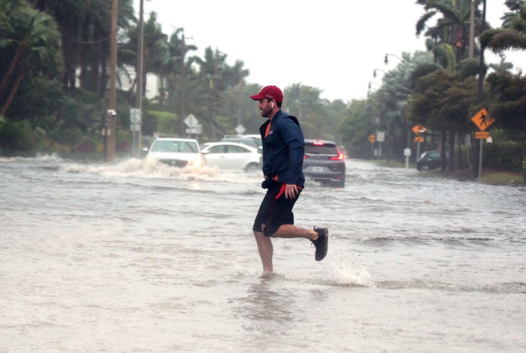
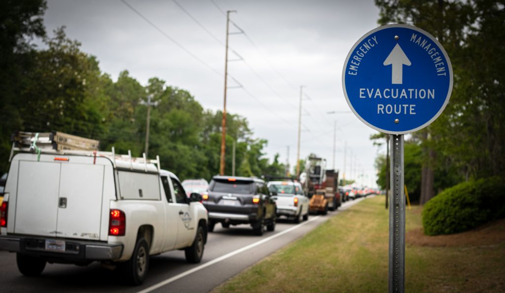
But while long-term forecasts can give a better idea of how intense any given year might be, they don’t offer a perfect vision of what’s to come. That’s why DaSilva says it’s best for people in areas prone to hurricanes to stay prepared for the worst.
“If a tropical storm system comes into this area, it could rapidly intensify, potentially close to land,” he warned. “And that’s why people need to be on alert and have their hurricane plans ready. Because any system with these kinds of conditions can explode very quickly. That’s what we’re concerned about.”
RELATED: For more up-to-date information, sign up for our daily newsletter.