March Storm Could Bring 6 Inches of Snow to These Regions
In some parts of the U.S., winter can sometimes feel like it will never give way to spring. Chillier temperatures and snowflakes can come back with a vengeance—even after the first few warm days lead some to let their guards down and start to bust our their warmer weather wardrobe. In fact, before the snow shovels and heavy coats get packed away for this year, another March storm could bring as much as six inches of snow to some regions. Read on to see what the forecast says and if it could affect you.
RELATED: New Forecast Predicts Very Active Hurricane Season—How It Will Affect You.
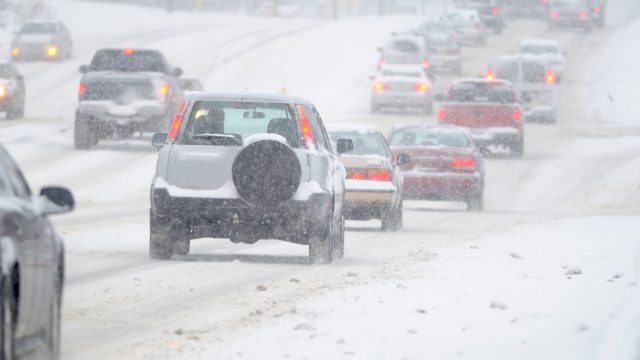
A late winter storm just brought snow and dangerous winds to some parts of the U.S.

Some areas of the U.S. saw winter come roaring back this past weekend. Parts of the Northeast were hit with fresh snow, with higher elevations in New York, Vermont, New Hampshire, and Maine picking up as much as six inches to just over a foot of fresh powder, The New York Times reports.
The storm—caused by a jet stream combining with moisture from the Gulf of Mexico—was also responsible for other severe conditions. Heavy rain fell along the East Coast, with some areas expected to see more than three inches overall. It also led to coastal flooding in some places, including Boston Harbor and Hampton Beach, New Hampshire, The Boston Globe reports.
The system is also generating tropical-storm-force winds in the Northeast and Midwest. Gusts ranging from 30 to 60 miles per hour were expected to rattle the regions through Monday, Fox Weather reports. One death in Pennsylvania has already been reported after a tree was blown over into a residence. The blustery effects will likely be felt as far west as Detroit and as far south as Washington, D.C.
RELATED: New Spring Forecast Shows Which U.S. Regions Will Be Warmer and Wetter This Year.
Forecasts show other areas are now in line for a winter storm this week.

But the Northeast isn’t the only area poised for a winter reminder. Forecasts show a storm is headed for the Rocky Mountains in the coming days that could dump snow across multiple states, Fox Weather reports.
The latest system is expected to push into the region from the Pacific Northwest, where it will also dump rain and snow in some places. It will likely reach Utah by late Tuesday or early morning Wednesday, ending a dry and warm spell for the region that saw temperatures shoot up into the 60s in recent days, per Fox Weather.
RELATED: Live in These 10 Places? You’re Most at Risk for “Extreme Winter Weather.”
Meteorologists are still trying to determine just how much snow will fall.

Besides freezing temperatures, the latest forecasts call for the heaviest snow to fall along the Front Range area of the Rockies. This means that some areas could see as much as six inches of powder accumulate when the system blows through, Fox Weather predicts.
Meteorologists are still determining expected precipitation numbers. However, the current outlook shows the area around cities like Denver, Fort Collins, Colorado Springs, and Pueblo could see the heaviest snowfall, with lower elevation areas slated to get lighter dustings through Friday.
Part of estimating how much snow will actually fall comes down to which direction the system ultimately takes. “If it does start to move a little towards the south and west, it could become a little less organized, pull away any available moisture for us, and mean lesser snow totals,” Alex Lernert, a meteorologist with CBS News, said in a forecast.
The system could go on to create severe weather in other areas.
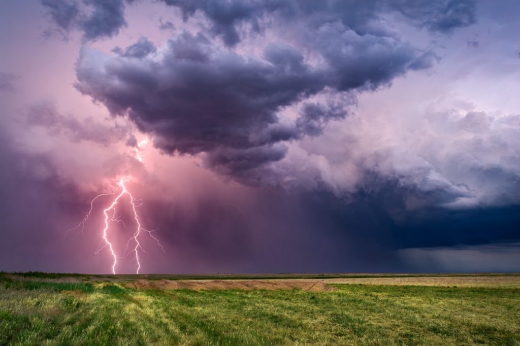
Unfortunately, conditions might get even worse after the system pushes past the Rockies.
“As a potent storm moves eastward into the southern Plains and lower Mississippi Valley later Thursday into Thursday night, it will tap into a warm, moist, and unstable air mass in place across the region,” Dan Pydynowski, a senior meteorologist with AccuWeather, explained in a forecast.
Current outlooks show that severe weather could reach parts of Texas, Oklahoma, Arkansas, and Louisiana as early as Thursday, potentially bringing heavy rain, hail, strong winds, and possibly tornadoes, Fox Weather reports. Some models also include parts of the Midwest in the path of the upcoming storms.
Forecasts also show the storm could then move east, bringing one to three inches of rain to parts of the Southeast, per AccuWeather.
RELATED: For more up-to-date information, sign up for our daily newsletter.