First Spring Storm Could Bring 8+ Inches of Snow to These Regions
After a long winter, there’s usually something very satisfying about packing away your heavy coats and warm sweaters as the seasons change. But it’s important to remember that the actual changeover can come in fits and starts as early hints of warmer weather are cut with chillier conditions—or even some unexpected flakes. Now, the first storm of spring could bring eight or more inches of snow and freezing temperatures to some areas. Read on to see which regions are affected and how the rest of the week could play out weather-wise.
RELATED: Signs Now Pointing to an “Explosive Hurricane Season” This Year, Scientists Warn.
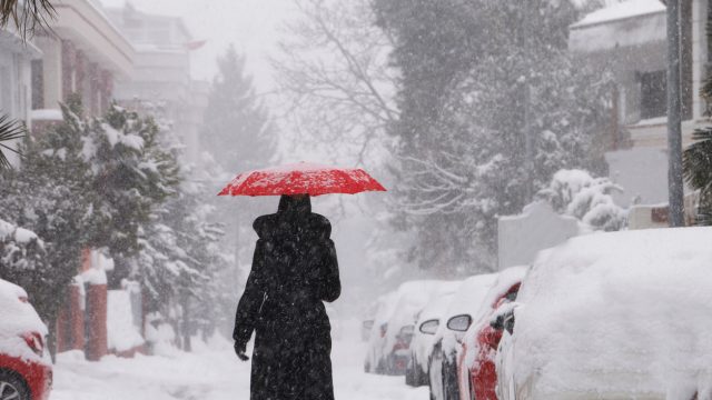
Spring is officially kicking off today with a sudden chill in many areas.
Even though March 19 marks the spring equinox, it might not feel like winter is over in many places: Freezing temperatures have descended upon much of the U.S. just as the new season begins.
A mass of frigid air pulled down from Canada by a plunging jet stream has sent mercury dropping across the Midwest, Southeast, and Northeast. Cities as far south as Mobile, Alabama, saw temperatures plunge to the upper 30s on March 19, while Nashville, Tennessee, dropped below freezing into the upper 20s, Fox Weather reports.
Overall, the widespread chill put roughly 25 million people under a Freeze Warning to kick off spring. Meanwhile, parts of the Northeast are also facing some lake-effect snowfall that could accumulate across parts of the region, per Fox Weather.
RELATED: New Spring Forecast Shows Which U.S. Regions Will Be Warmer and Wetter This Year.
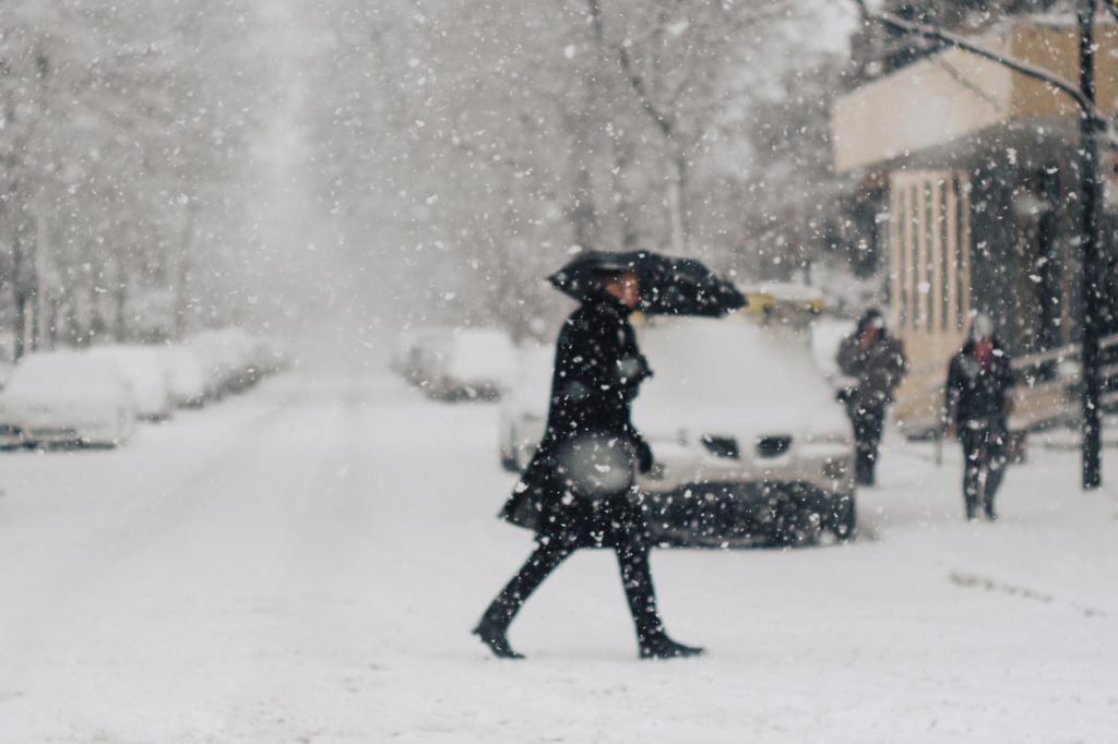
Some significant snowfall could be on the way for other parts of the U.S.

Winter also appears to be clinging on in other parts of the U.S. Forecasts show that a storm system sweeping in from the Pacific Northwest in the coming days is expected to produce a decent amount of snowfall across the northern Rockies, northern Plains States, and the Midwest, AccuWeather reports.
This type of approaching storm is known as an “Alberta clipper.” They occur when colder air from Canada in the north combines with moisture in warmer air to the south, providing the conditions needed to produce snow.
The system is expected to dump up to a foot of snow in Western Canada—and even as much as two feet in higher elevations—before dropping flakes on a 2,000-mile-long path in the coming days that stretches into the U.S, according to AccuWeather.
RELATED: Widespread Blackouts Predicted for 2024—Will They Hit Your Region?
Major cities including Chicago and Minneapolis could see the most accumulation.
The system is expected to reach the U.S. on Wednesday night, sending temperatures plunging and bringing flakes to parts of Montana, Fox Weather reports. The storm will then push east into North and South Dakota the following morning before reaching Minnesota and Wisconsin later in the day. Cities including Minneapolis, Milwaukee, and Green Bay could see as much as eight inches of snow accumulate.
Flakes are also expected to start falling in Central Michigan late Thursday night or early Friday morning, where more than half a foot is possible. And while the Windy City is also expected to get one to two inches, a change in trajectory could make conditions worse.
“Should the storm shift its track farther to the south by as little as 60 miles, Chicago could end up in the band of heavier snow where several inches fall,” AccuWeather meteorologist Dean DeVore said.
The storm is then expected to move into the Northeast, where it could merge with another weather system.

Even though it’s already dealing with its own lingering winter conditions, the Northeast is next in the path of this “Alberta clipper.” Forecast models show the storm could move through cities including Cleveland, Ohio; Erie, Pennsylvania; and Buffalo, New York, before the weekend begins, per Fox Weather.
Meanwhile, another system dropping torrential rain on the Gulf Coast and Southeast could potentially make its way north along the East Coast. Some forecasts predict the two storms could combine in the Northeast and create even worse conditions for the region, including high winds and coastal flooding, AccuWeather reports.