Winter Storm Could Bring Another 8 Inches of Snow to These Regions Tomorrow
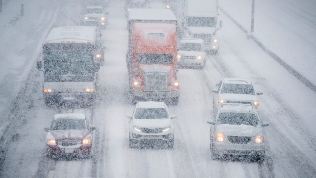
Winter is not wasting any time flexing its frigid muscles this year. Storms that struck just after the busy holiday travel season were followed by systems bringing bouts of snow within the first two weeks of 2024, and much of the U.S. is only just beginning to thaw out from an intense “arctic blast” that sent temperatures plunging as far south as the Gulf Coast. But it appears that Mother Nature isn’t done quite yet, as forecasts predict a winter storm could bring another eight inches of snow to some places. Read on to see which regions will be affected tomorrow—including many for the second time this week.
RELATED: A “Polar Vortex” Is Expected to Hit the U.S. Soon—Here’s What to Know.
The Pacific Northwest is experiencing damaging freezing rain.

The opening weeks of 2024 have handed residents in the Pacific Northwest some ferocious weather. Earlier this week, Oregon and Washington were pelted with freezing rain that has damaged homes, closed roads, and left roughly 90,000 people without electricity as of the morning of Jan. 17, The New York Times reports.
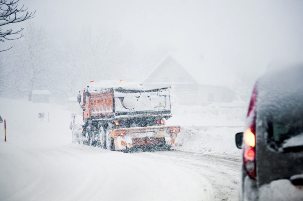
The latest storm system brought ice storm warnings across much of the state that were set to expire by Wednesday evening as it moved east. Areas near the Cascade Mountains and northern Rocky Mountains were forecast to see heavy snow accumulation from the system as it progresses, with winter storm warnings, blizzard warnings, and wind chill advisories in place for much of Montana through early this afternoon, local CBS affiliate KBZK reports.
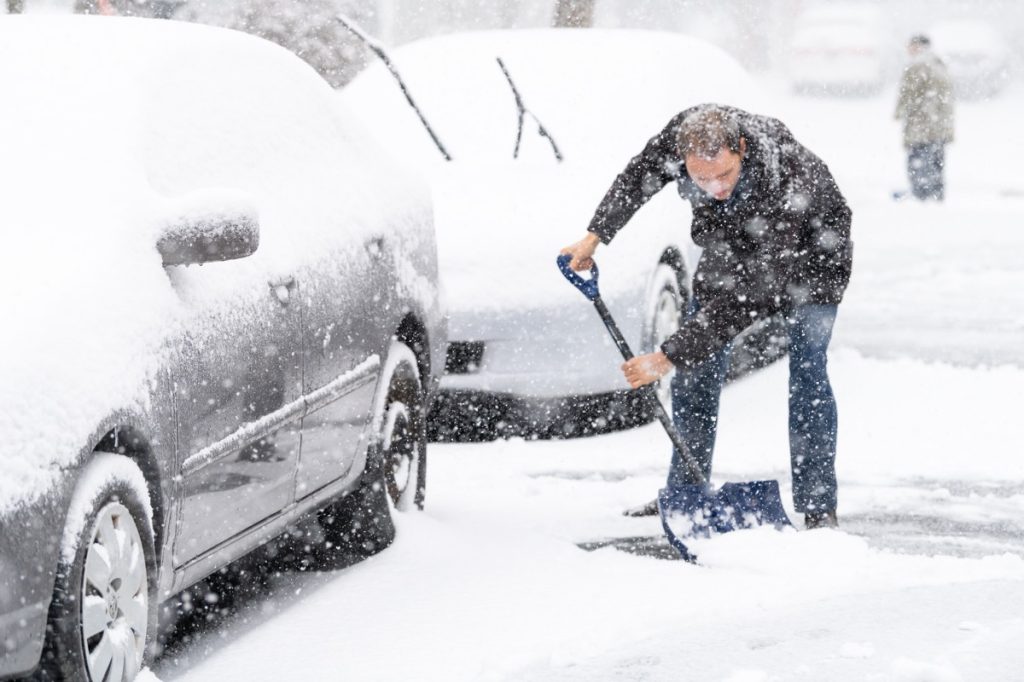
RELATED: 7 Ways to Winter-Proof Your Car, According to Experts.
The storm system will move on to the Plains States and Midwest next.
Even as the region is still shrouded in freezing temperatures, the Midwest will add more snow to the winter weather experience today. Early morning flurries will eventually fade off until more ample snowfall starts later in the afternoon and carries on through tonight, Fox Weather reports.
Forecasts call for major cities, including Chicago, Cleveland, Detroit, Indianapolis, and Pittsburgh, to get several inches of snow. At the same time, Kentucky and mountain areas in Tennessee and West Virginia could also see decent accumulation of five to eight inches.
By the time snow stops falling tomorrow evening, the area is also expected to see yet another blast of arctic air that will send wind chill temperatures plunging as low as minus 15 degrees through the weekend in the Windy City, according to a string of posts on X (formerly Twitter) by the National Weather Service (NWS).
RELATED: Weather Predictions Keep Changing—What the Unpredictable Shifts Mean for You.
The Mid-Atlantic is expected to see more snow tomorrow.
By tomorrow, a region of the country that went nearly two years without recording any snowfall could get their second accumulation of the week. The Mid-Atlantic area can expect more of the white stuff through parts of Maryland and Virginia beginning in the morning and carrying throughout the day. Meanwhile, southern regions of each state will likely see rain, according to forecasts from local Washington, D.C., Fox affiliate WTTG.
The areas around Baltimore and the Nation’s Capitol are expected to get less than an inch of snow. At the same time, northern Maryland, southern New Jersey, and central Pennsylvania could see anywhere from one to three inches, Fox Weather reports. But experts warned that it won’t exactly clear itself up quickly.
“I want to emphasize, it won’t be a heavy snow, but what falls will stick,” Tucker Barnes, a meteorologist with WTTG, said.
New England and the Northeast will also get some fresh powder.
Even for a region that’s used to its fair share of the white stuff, the past few weeks have still been particularly brutal for much of the Northeast. Besides frigid temperatures, Lake Effect snow has pummeled Buffalo and parts of upstate New York. Now, forecasts show that Buffalo could see as much as one to three additional feet by Saturday, while cities farther north near Watertown could see two or more, per Fox Weather.
Meanwhile, New England will also see some snow—albeit considerably less. Connecticut, Rhode Island, and most of Massachusetts, including the Boston area, could see three to five inches fall, according to Fox Weather.
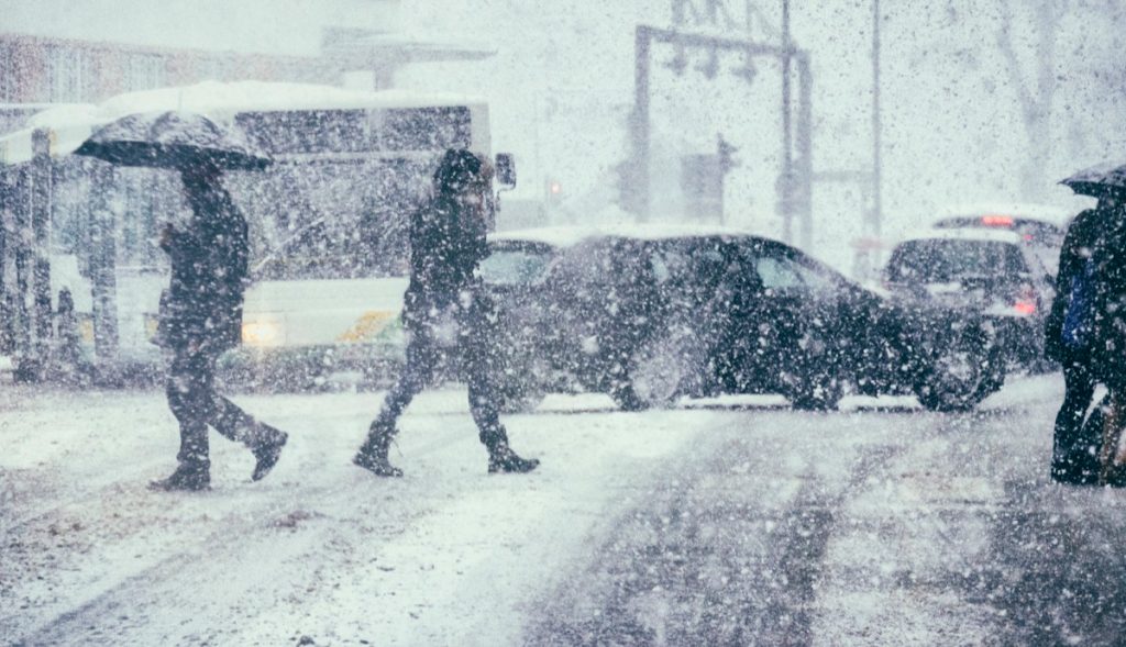
New York City could also see slightly less, with one to three inches in the forecast, marking the second time the city has seen snowfall this week after breaking a nearly two-year drought. But even if the approaching storm may not be one for the history books, it’s still memorable in its own way.
“It’s a little bit of a dusting,” said Britta Merwin, a meteorologist with Fox Weather. “It’s kind of fun. For an area that hasn’t seen a lot [of snow], we’re getting a couple of tastes in one week.”
RELATED: For more up-to-date information, sign up for our daily newsletter.