30 Questions You’d Need to Ace to Pass 6th Grade Geography
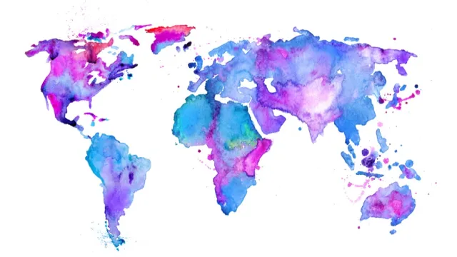
Of all the stuff you learned in middle school, geography is what you most likely forget first. As you move through years of schooling, English turns into literature. Math turns into geometry and calculus. Science turns into biology and chemistry and physics. Geography, meanwhile, turns into… well, nothing.
What we’re trying to say is that, if you walked up to your average sixth grader and challenged them to a geography bee, you’d get smoked. It wouldn’t be a fair fight at all. Don’t believe us? Read on and give it a try. Below, we’ve rounded up 30 straight from the geography classrooms of American middle schools. Some should be no-brainers. But others are certain to leave you utterly flummoxed. And once you’ve tested your mental mettle on these, give a go at the 30 Questions You’d Need to Ace to Pass 6th Grade Math.
Question: Are lines on a map that run in the east-west direction lines of latitude or longitude?
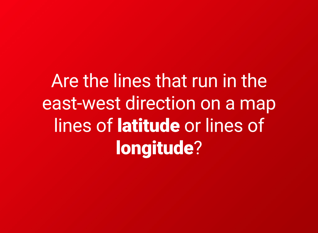
Latitude and longitude are constants that allow you to identify any location on Earth on a map.
Answer: Latitude
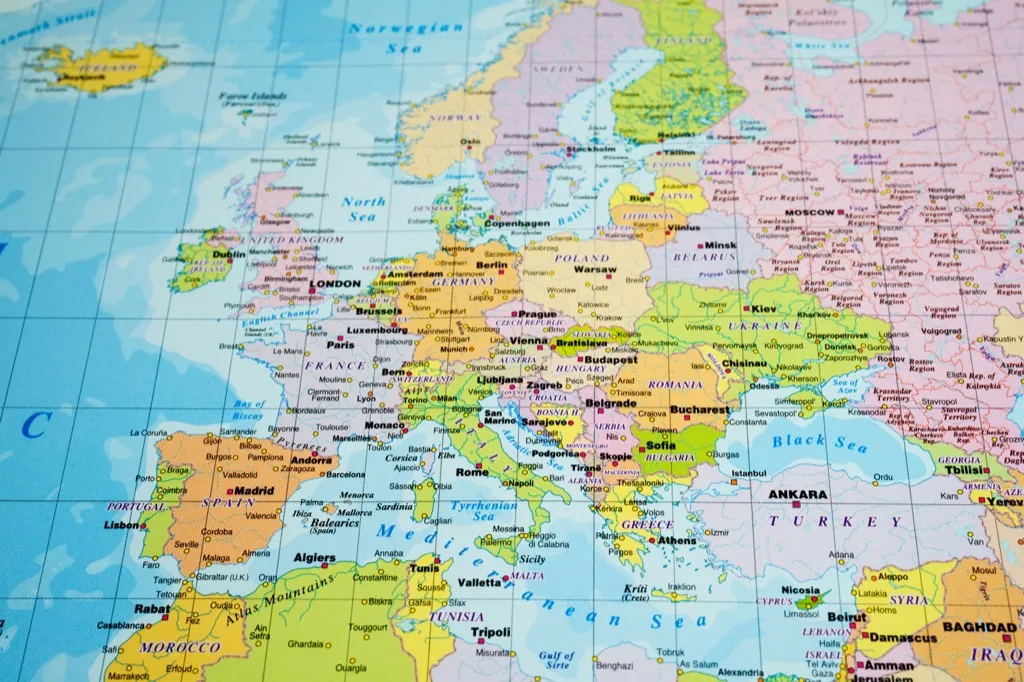
Some people remember the difference by noting that lines of latitude run horizontally, just like the rungs of a ladder.
Question: What is cartography?
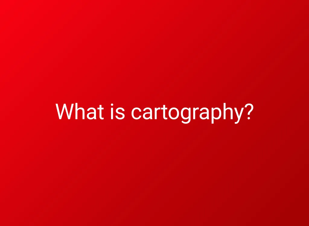
Hint: it’s not photography of shopping carts.
Answer: The study and practice of making maps
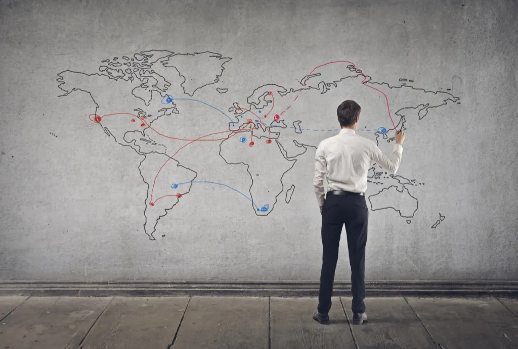
Google Earth is an important tool for modern-day cartographers, but it can’t replace them. Mapmakers must think about who the map is for, how much detail they want to include, and what the map will be used for.
Question: Pick the correct words.
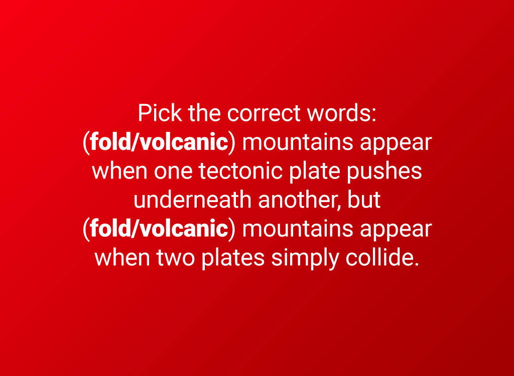
There is no universal definition for a mountain. Though all mountains have high elevations and steep slopes, to know whether something is a mountain or a hill, you may have to ask what the locals call it.
Answer: “Volcanic,” “fold”
Volcanic mountains appear when one tectonic plate pushes underneath another, but fold mountains are created when two plates simply collide. (A third major type—block mountains—are caused by two plates pushing past each other in a horizontal direction.) And for more amazing info about how the world works, check out these 30 Craziest Facts About Planet Earth You Never Knew.
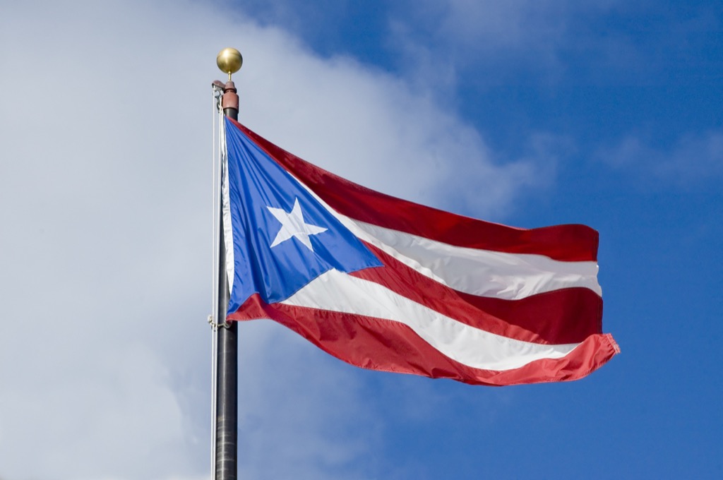
Question: What’s the smallest country in Europe?
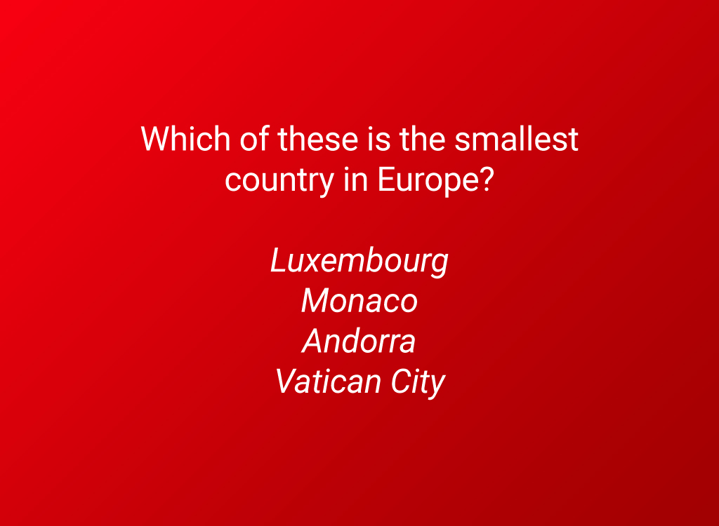
Hint: the smallest country in Europe is also the smallest country in the whole world.
Answer: Vatican City
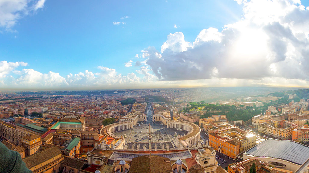
As the name implies, the entire country of Vatican City is a single city. At only 110 acres in area (not even half a square kilometer), you could walk around the whole thing in approximately 40 minutes. Completely surrounded by Italy, the tiny country was formally created in 1929 as an attempt to separate the Pope from the international politics of Italy. Why Are There Walls Around the Vatican?
Question: What’s the demographics term that describes the annual number of live births per 1,000 people?
Demographics is the study of the human population in a given area.
Answer: Birth rate

As of 2016, the average global birth rate was 18.5 per 1,000 people. That’s about 256 new babies every minute!
Question: What is the top layer of a rainforest called?
The top layers of a healthy rainforest absorb so much sunlight that the forest floor exists in near darkness.
Answer: Emergent layer
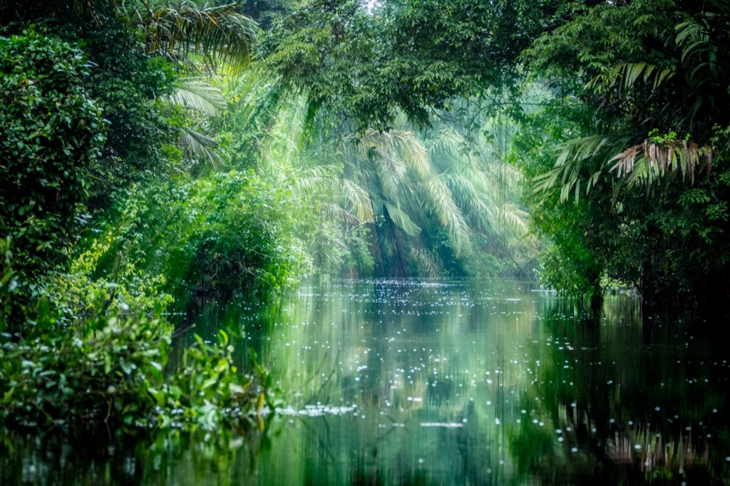
Only the tallest rainforest trees poke up into the emergent layer out of the denser canopy beneath. These trees get plenty of sunlight, but they aren’t protected from wind or extreme temperatures like the lower layers are.
Question: Japan is an island in what body of water?
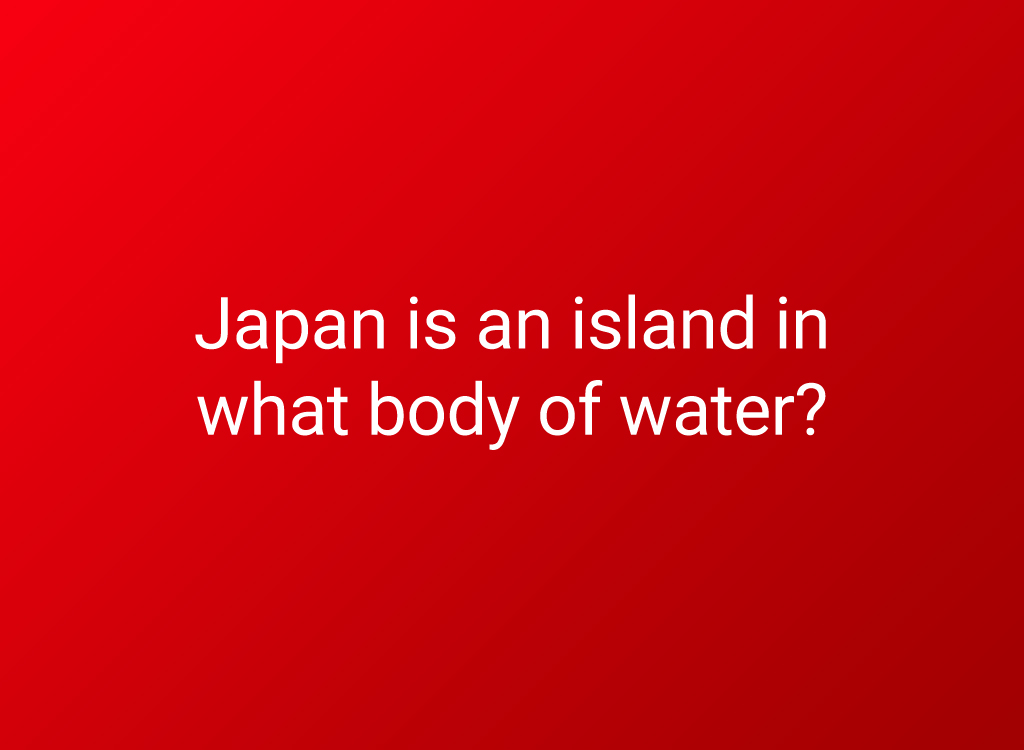
Japan comprises a collection of 6,852 islands in total, but most Japanese residents live on four main islands and two smaller island chains. And to take a look at some more non-landlocked destinations, don’t miss these 30 Most Magical Islands on the Planet.
Answer: Pacific Ocean
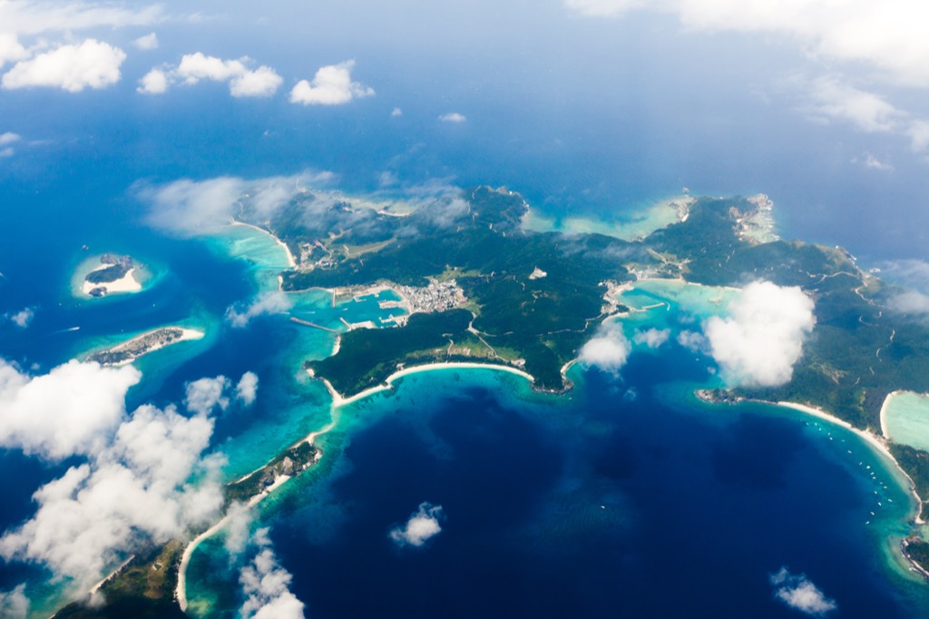
The Pacific is the world’s largest ocean, containing about 46 percent of the Earth’s total amount of water. It is larger than all the surface area of the land combined.
Question: What is the name for the native people of New Zealand?
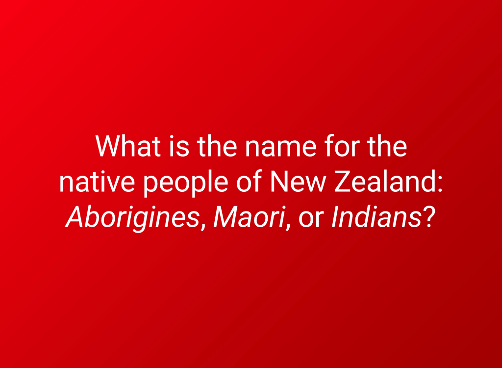
These native people call their country Aotearoa, which means “the land of the long white cloud.”
Answer: Maori
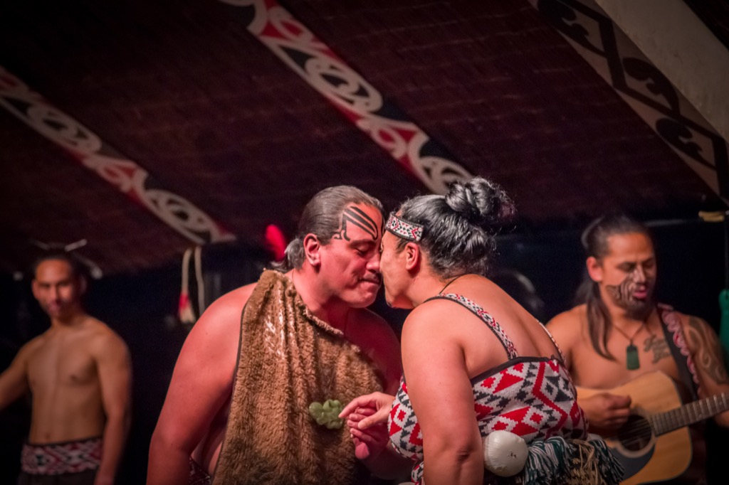
Around the time of the Middle Ages in Europe, some adventurous native Australians set sail and found New Zealand. They came to call themselves the Maori, and their culture is still influential and visible in New Zealand today.
Question: Name the financial measure of a country’s produced goods and services.
Demographers use this measure as a way to compare world economies.
Answer: GDP, or gross domestic product

There are a number of ways to calculate a country’s GDP, but you essentially add up the monetary value of goods and services produced within a country’s borders and subtract out the cost of supplies and materials. It doesn’t give the whole picture of a country’s economy, but it’s a place to start.
Question: Pick the correct words.
The world’s largest river contains the same amount of water as the next seven largest rivers combined.
Answer: The largest river in the world is the Amazon River, located in the continent of South America.
Although the Nile is very close in length—and, depending on how you measure it, sometimes claimed to be slightly longer—the Amazon is by far the largest river in the world, dumping about 209,000 cubic meters of water into the ocean every second.
Question: What is the name of the island country off the coast of Africa?
The continent of Africa contains 54 sovereign countries.
Answer: Madagascar
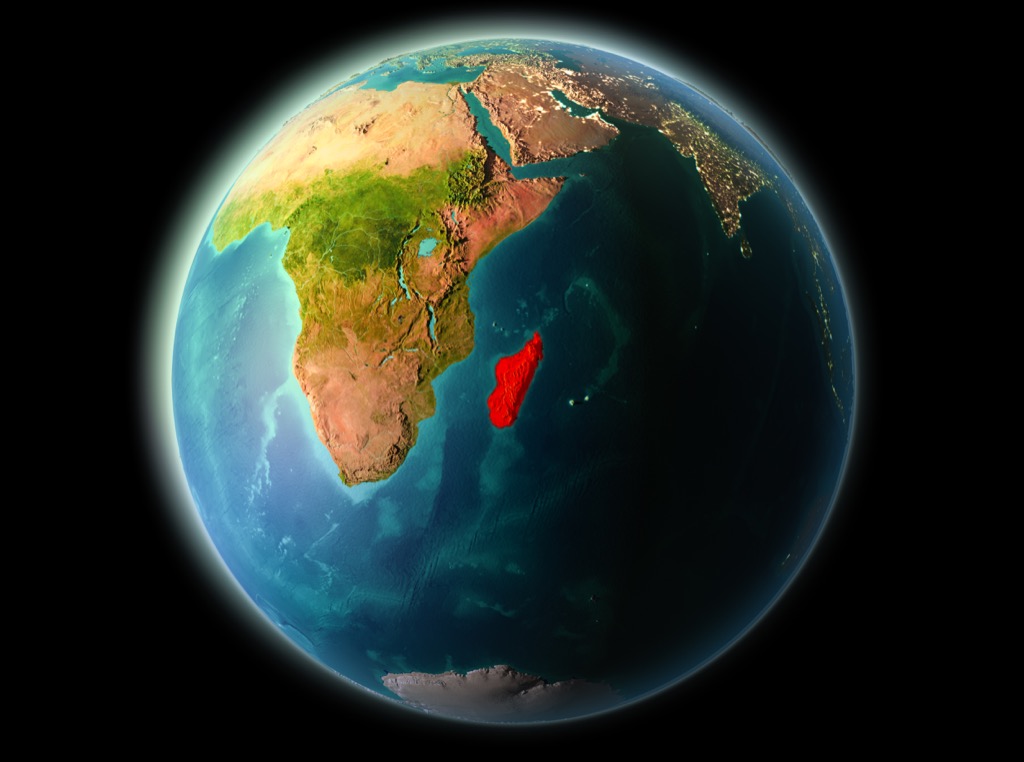
The fourth-largest island in the world, Madagascar is home to many rare animals, including over 100 different species of lemur.
Question: What is the capital of New York?
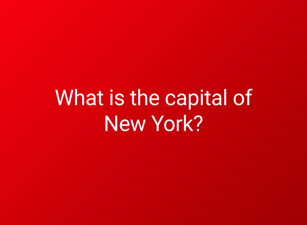
Hint: of all of America’s state capitals, this one is the first alphabetically.
Answer: Albany
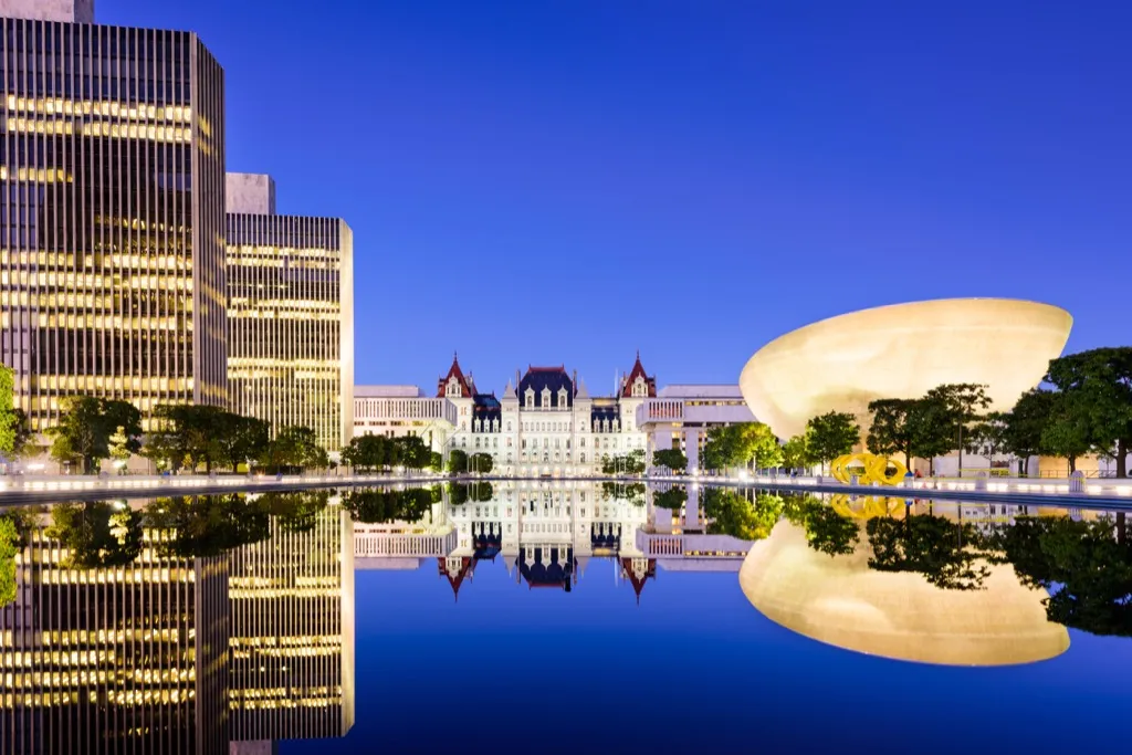
Although New York City is its largest city, New York’s state capital is located in Albany. The town has been around longer and is closer to the center of the state than NYC.
Question: What is the name for a territory under the complete control of a distant country?
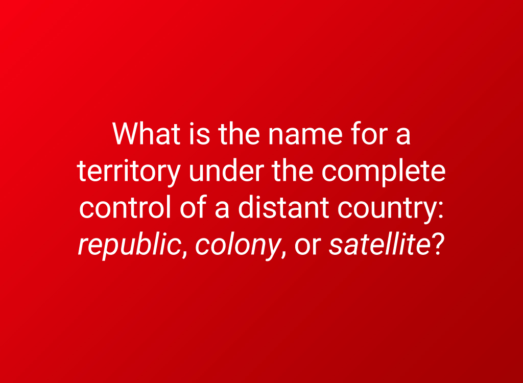
This is why you might hear French spoken in Vietnam or Sierra Leone or see English street names in the Congo or India.
Answer: Colony
For centuries, the most powerful countries in the world decided they would simply own other countries, taking control of their resources and products. Fortunately, we are slowly becoming a world where countries can govern themselves, doing what is best for their own people.
Question: Where would you find fjords: Austria, Norway, or Malaysia?
Fjords—narrow rivers ensconced by steep cliffsides—are created by glaciers.
Answer: Norway
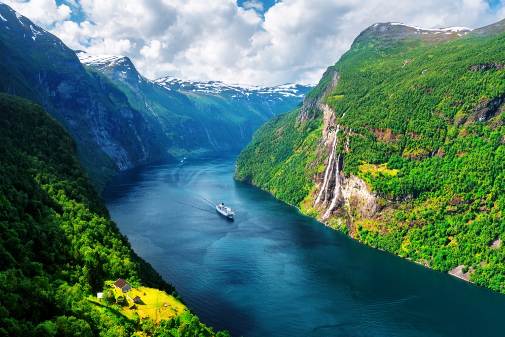
As glaciers push down toward the sea, some cut U-shaped valleys in the surrounding rock to form majestic fjords. The fjords in Scandinavia are perhaps the most famous, but they can also be found in Scotland, New Zealand, Canada, and even Washington state.
Question: Pick the correct words.
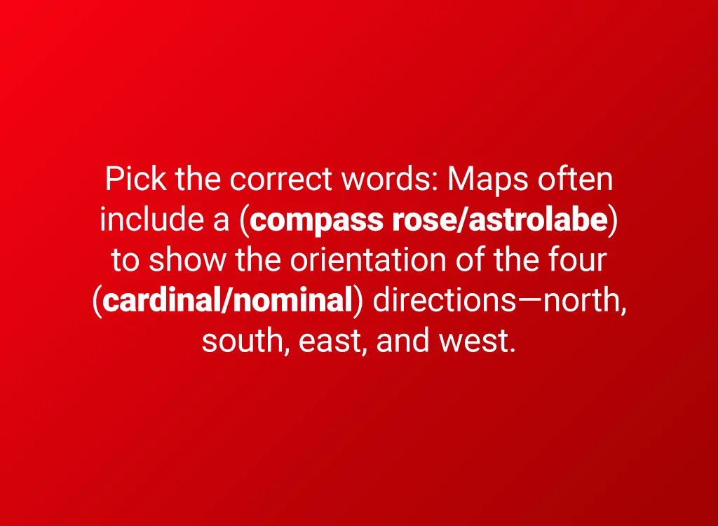
The top of a modern map is usually north—but there’s no good reason why it must be. Some ancient Japanese cartographers always put the imperial palace at the top of the map to emphasize the importance of the emperor.
Answer: “Compass rose,” “cardinal”
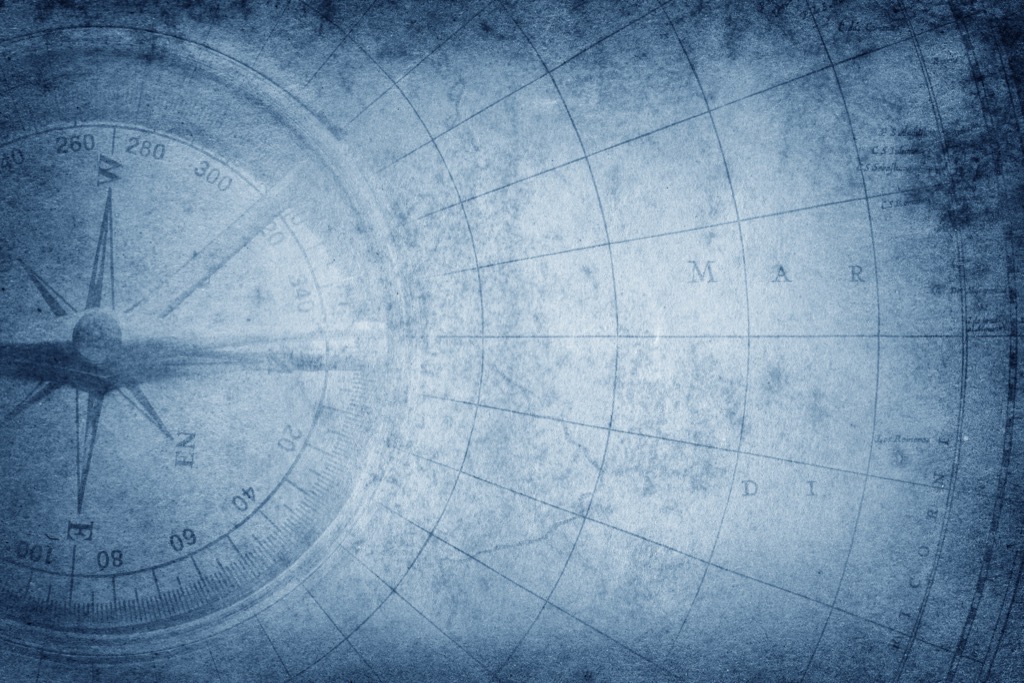
Maps often include a compass rose to show the orientation of the four cardinal directions. Compass roses aren’t just featured on maps. They’re so helpful for getting your bearings that they even appear on GPS systems.
Question: What country is this?
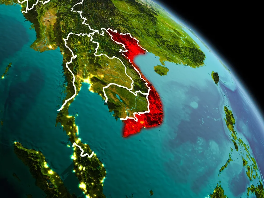
Between its tropical lowlands, hills, and forested highlands, only 20 percent of the land here is flat enough to farm.
32
Answer: Vietnam
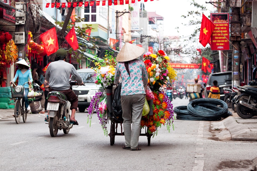
The capital city, Hanoi (pictured above), is the country’s second-largest city, with a population of 7.58 million.
Question: Name the destination that isn’t in Asia.
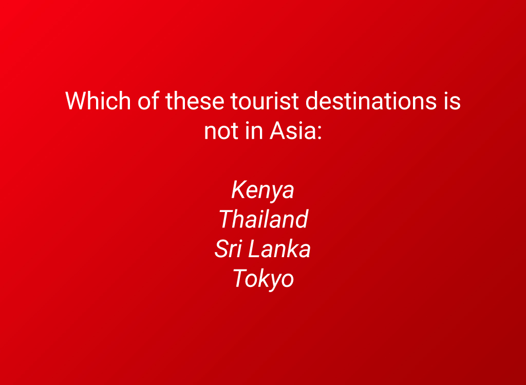
Tourism combines demographics (the study of human populations) with Earth’s landscapes and thus falls under the heading of geography.
Answer: Kenya
Kenya, a country in eastern Africa, attracts over a million visitors a year, mostly to one or more of its 60 national parks and game reserves. This tourism has boosted the economy and encouraged some eco-friendly practices, but has also contributed to erosion and deforestation. If you want to visit Kenya, do so responsibly!
Question: Name the line of longitude that divides the eastern and western halves of the globe.
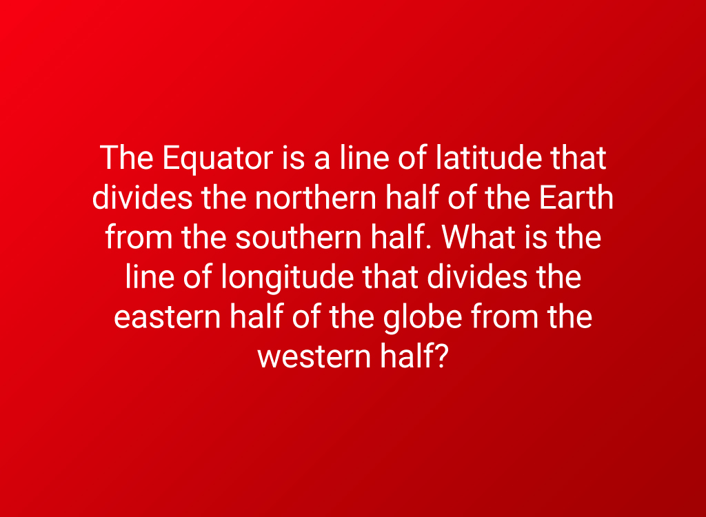
This line runs through England and chops Africa in two.
Answer: Prime Meridian
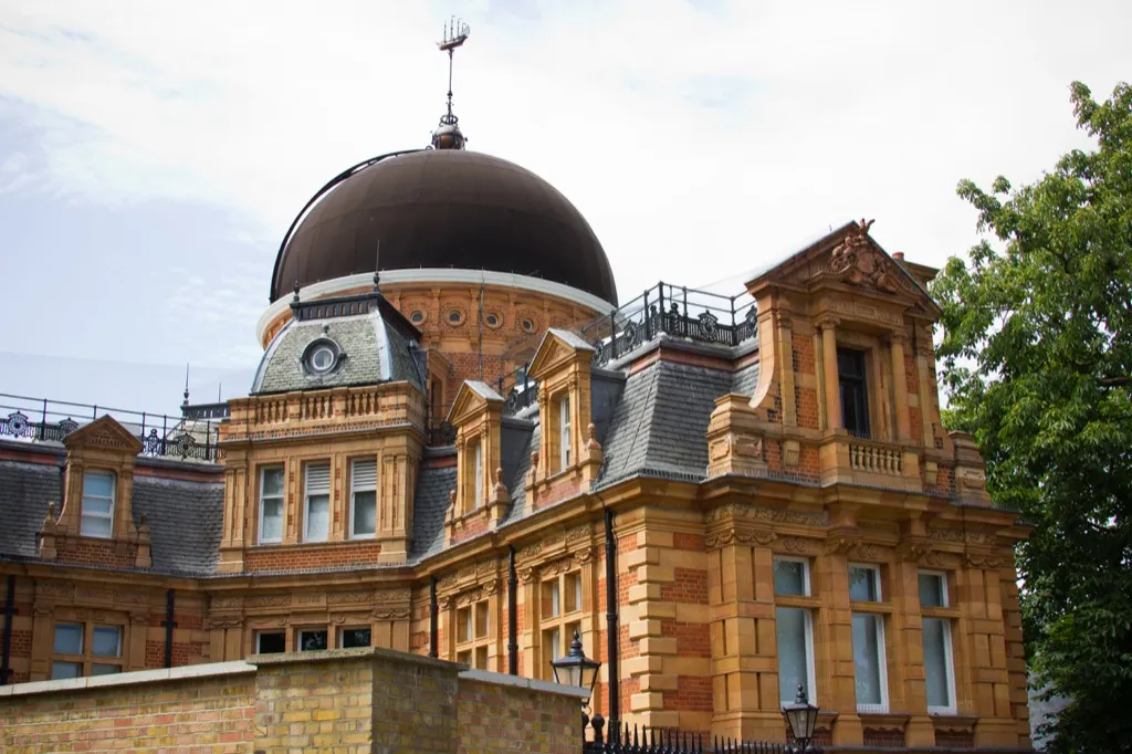
While a number of different meridians have been called “prime” throughout history, when people today reference the Prime Meridian, they are talking about the IERS Reference Meridian that is also used to set Greenwich Mean Time. The Royal Greenwich Observatory (above) marks the exact location of the Prime Meridian.
37
Question: What country is this?
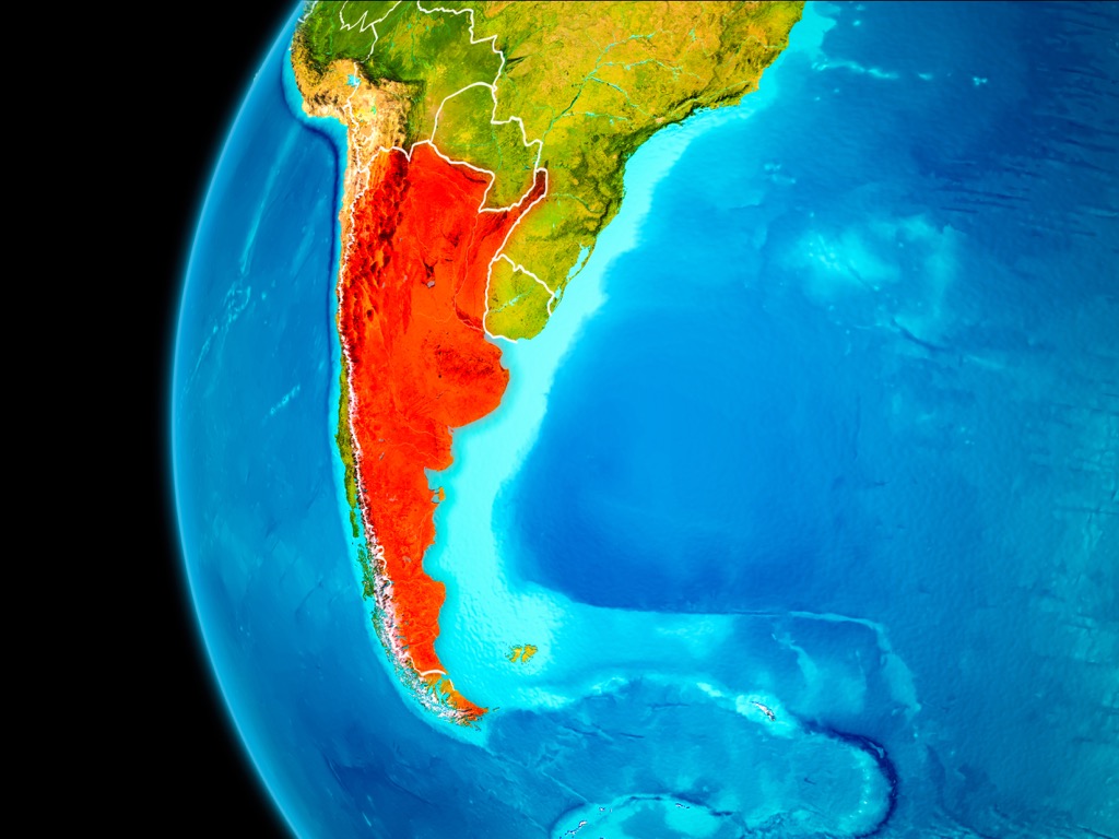
Hint: the country’s Olympian football team won gold in both Athens 2004 and Beijing 2008.
38
Answer: Argentina
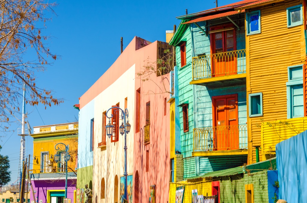
The vibrant colors of the legendary Caminito—in the La Boca neighborhood of Buenos Aires, Argentina’s capital—are like an Instagram photo come to life.
Question: Pick the correct words.
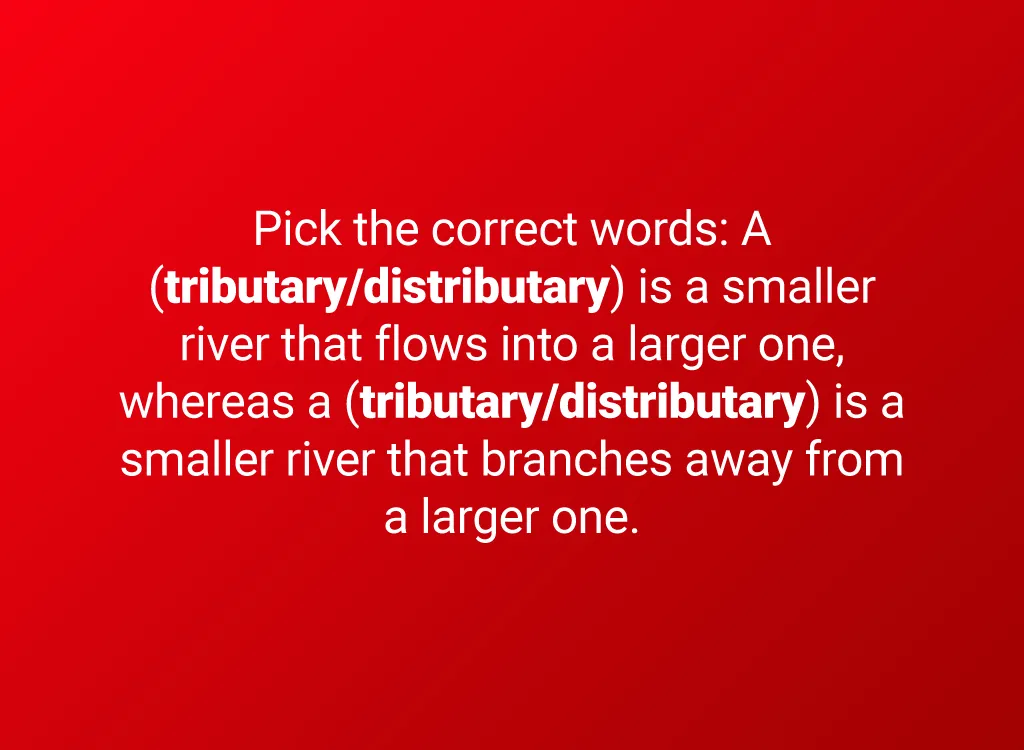
The area where two or more bodies of water meet is called a confluence.
Answer: “Tributary,” “distributary”
A tributary is a smaller river that flows into a larger one, whereas a distributary is a smaller river that branches away from a larger one. Distributaries are most common where rivers flow into a sea or lake. At that point, a river will often branch out multiple times, creating a delta.
Question: What problem isn’t caused by urbanization?
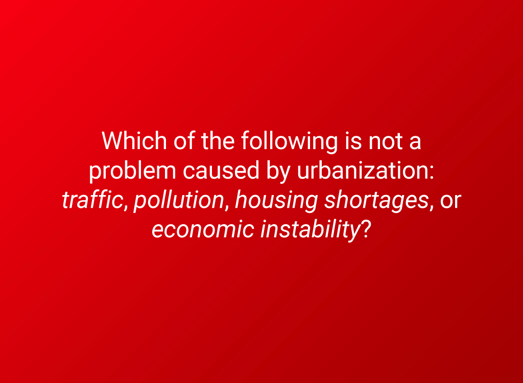
Urbanization happens when large parts of a population move from rural areas into cities and towns.
Answer: Economic instability
Cities actually provide some stability to the economy because their output isn’t as dependent on the climate as farming is. Urbanization can benefit a population in a number of ways—including increased job opportunities, flourishing of culture, and social mobility—but there are serious drawbacks as well.
Question: What are these types of species called?
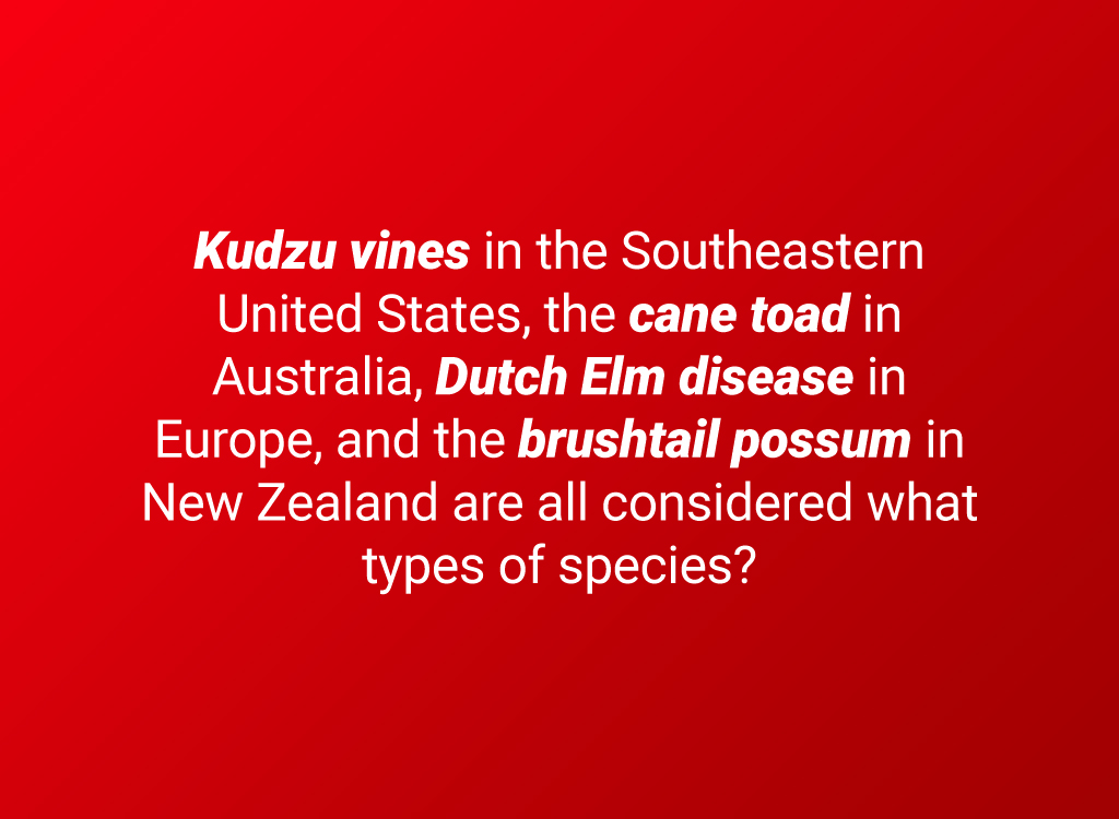
Hint: these species aren’t native to the areas that are mentioned.
Answer: Invasive species
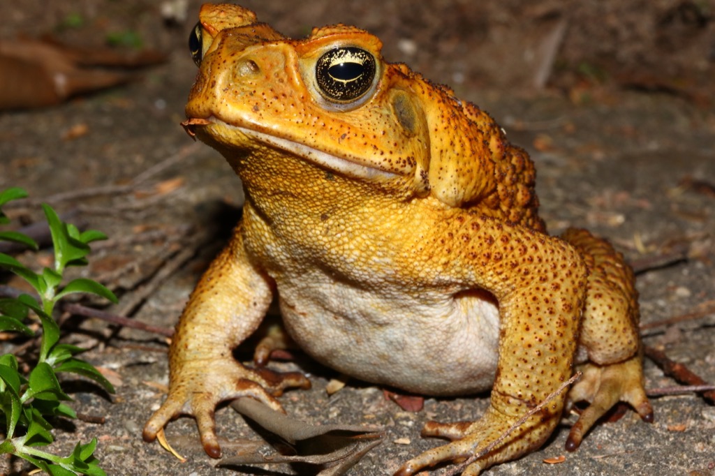
A species is considered invasive if it isn’t native to a certain area, but once introduced there, it spreads to the extent that it begins to cause harm to the native plants and animals. Sometimes humans introduce a species to a new environment for a specific purpose—for example, cane toads were let loose in Australia in an attempt to keep beetles off of crops—but end up having unexpected, devastating consequences.
Question: What’s the wintry-like biome called?
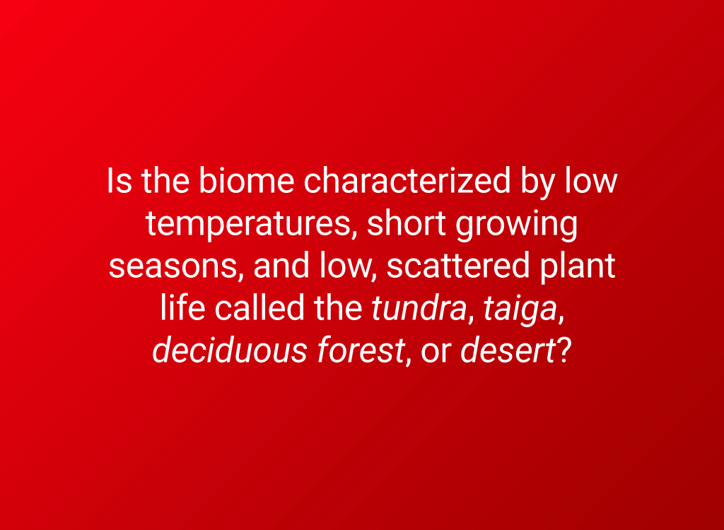
A biome is a broad way of describing a type of environment as well as the organisms that live there. Many different habitats make up each biome.
Answer: Tundra
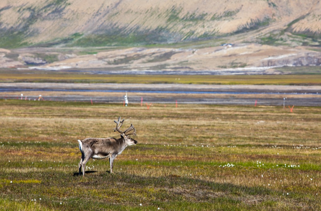
The soil in the Arctic tundra is frozen and it receives limited sunlight, making it impossible for trees to grow. Instead, shrubs, grasses, and mosses feed the resident animals, which include reindeer, musk oxen, and Arctic foxes.
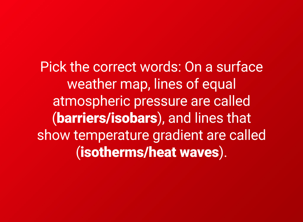
Question: Pick the correct words.
There are many ways to show weather on a map, but you’re probably most familiar with the ones used by television weather forecasters.
Answer: “Isobars,” “isotherms”
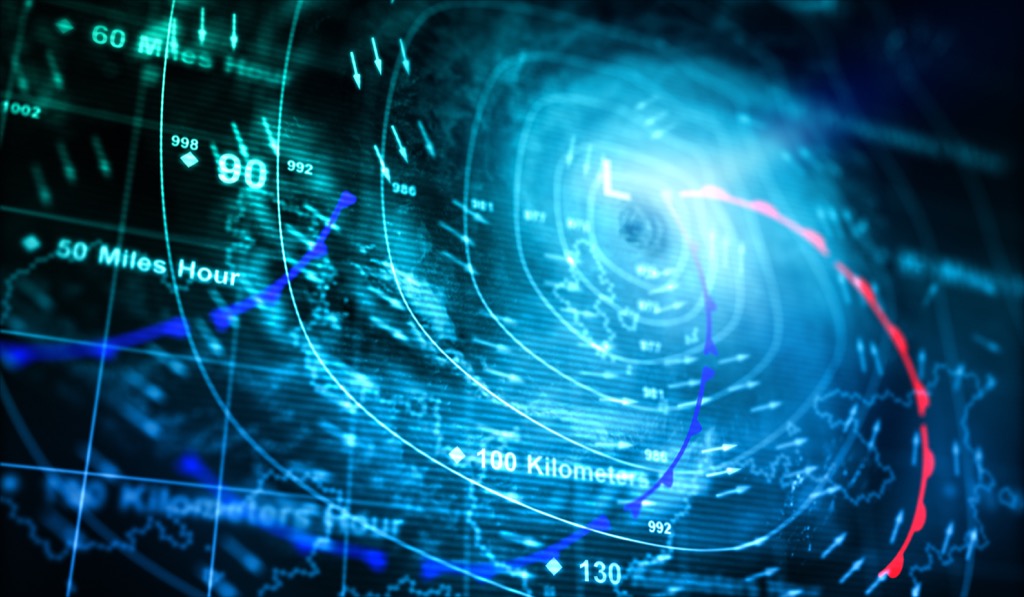
On a surface weather map, lines of equal atmospheric pressure are called isobars, and lines that show temperature gradient are called isotherms. The letter H on a weather map indicates an area of high pressure, which usually corresponds to good weather. Cloudy or stormy weather, on the other hand, is most likely to appear the areas indicated by an L for low pressure.
Question: What type of map is the map of Middle-Earth?
While Tolkein admitted that the geography of the Shire (the hobbits’ home) was based on that of England, the whole of Middle-earth doesn’t correspond to any existing landmarks or countries.
Answer: Fantasy map
Though many fantasy maps illustrate the geography of a fictional universe, some are abstract works of art or combine real cartographic information with commentary to argue a point.
Question: Name the process by which the climate breaks down rocks but leaves them in roughly the same place.
This process is powerful enough that, given enough time, even the largest of rocks can be broken down into tiny pebbles using nothing but water.
Answer: Weathering
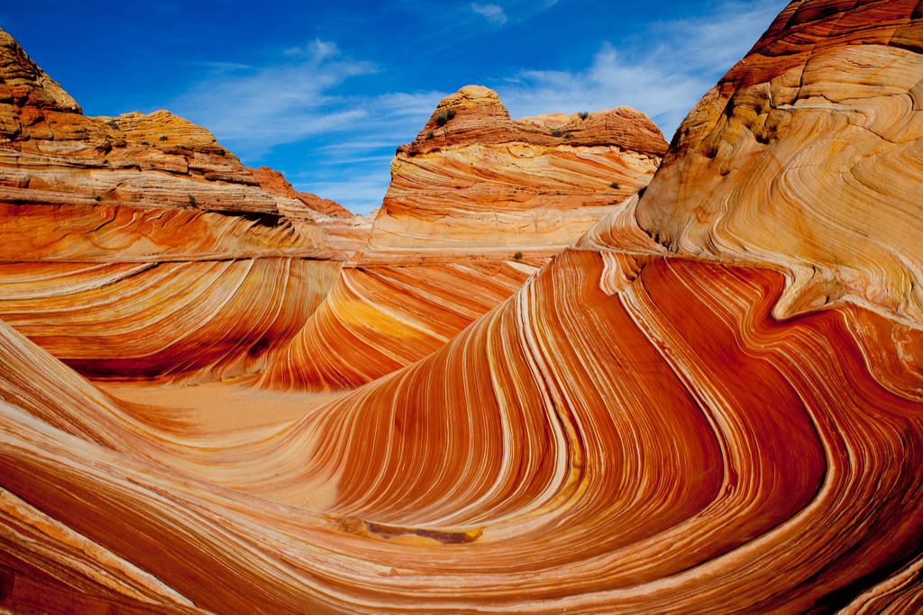
By contrast, erosion refers to the process by which rocks and minerals are broken down and transported by water or wind to other places. Both of these processes can cause drastic changes to a landscape over time.
Question: Pick the correct words.

Nineteen countries have coastline on this sea, and two entire island nations exist in its waters.
Answer: “Mediterranean,” “Gibraltar”
Africa is separated from Europe by the Mediterranean Sea, which is connected to the Atlantic Ocean by the Strait of Gibraltar. The Mediterranean is surrounded by so many historically powerful countries that it has played an enormous part in, among other things, the expansion of the Roman Empire; the birth of Judaism, Islam, and Christianity; and both World Wars.
Question: Which of the above is not a problem in LEDCs?
It’s hard to give a short answer to the question “Why are some countries so much poorer than others?” Geography, resources, trade, and racism all play a part.
Answer: Low levels of intelligence

A country’s level of economic development is unrelated to the intelligence of its citizens. However, smart individuals in LEDCs often have fewer opportunities for education, which is why they’re usually underrepresented in academic fields.
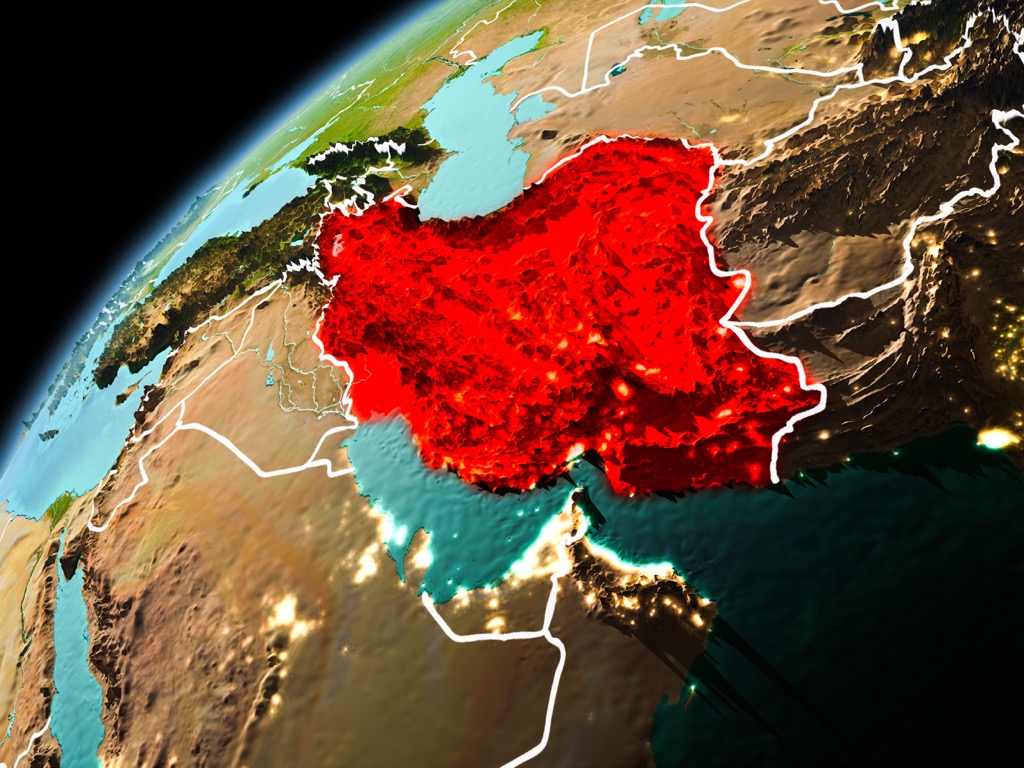
Question: What country is this?
This region is sometimes referred to as the Middle East, the Near East, or West Asia.
Answer: Iran
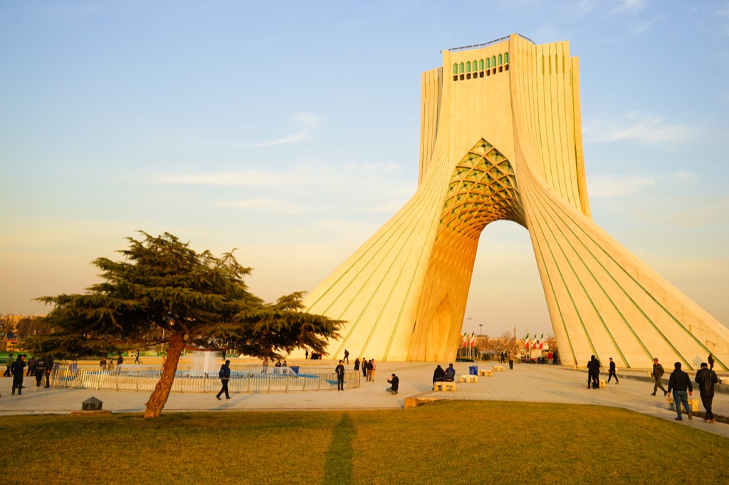
One of the world’s oldest civilizations made its home in Iran as far back as 4,000 B.C.E. Historically known as Persia, Iran currently encompasses many ethnic and religious groups.
Question: Perhaps the most famous map of the world is called the Mercator projection. Why can’t we make maps—especially maps that show very large amounts of land—without projections?

Projecting a map involves changing it from one shape to another while trying to keep it as accurate as possible.
Answer: Because we’re representing the surface of a three-dimensional sphere (the Earth) on a two-dimensional surface (the map).
Lines of latitude and longitude are very important for helping match areas on a flat map with areas on the globe. As accurate as cartographers try to be, projections will necessarily cause some distortion. For example, because of the way it flattens out the poles, Greenland and Antarctica look much, much bigger on the Mercator projection than they actually are. And for more deceptively difficult brain-twisters, check out these 30 Questions You’d Need to Ace to Pass 6th Grade Math.
To discover more amazing secrets about living your best life, click here to sign up for our FREE daily newsletter!