“Severe Weather” Could Bring Tornadoes to These Regions Next Week

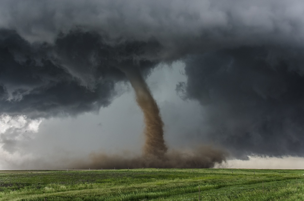
The heavy rain and flooding in California serve as a reminder that not all extreme winter weather comes in the form of blizzards and freezing temperatures. Abnormal conditions and other phenomena have shifted the calendar, spurring wet weather and intense storms well ahead of when they’re expected to begin. And now, meteorologists warn that “severe weather” could bring tornadoes to some regions next week. Read on to see which places could be at risk and what this means for the last weeks of winter.
RELATED: Meteorologists Warn That “Super El Niño” Could Lead to Intense Hurricane Season.
Intense weather is already expected to affect the U.S. this week.

The past few weeks have seen very little downtime when it comes to severe storms, and this week appears to be no different.
California and the West Coast have struggled through another bout of torrential rain brought on by the atmospheric river as a slow-moving system dumped even more water on the already drenched region. Some parts of the state—especially in southern areas—have already surpassed their annual expected rainfall amounts, with cities like Los Angeles within reach of breaking an all-time monthly record, The Washington Post reports.
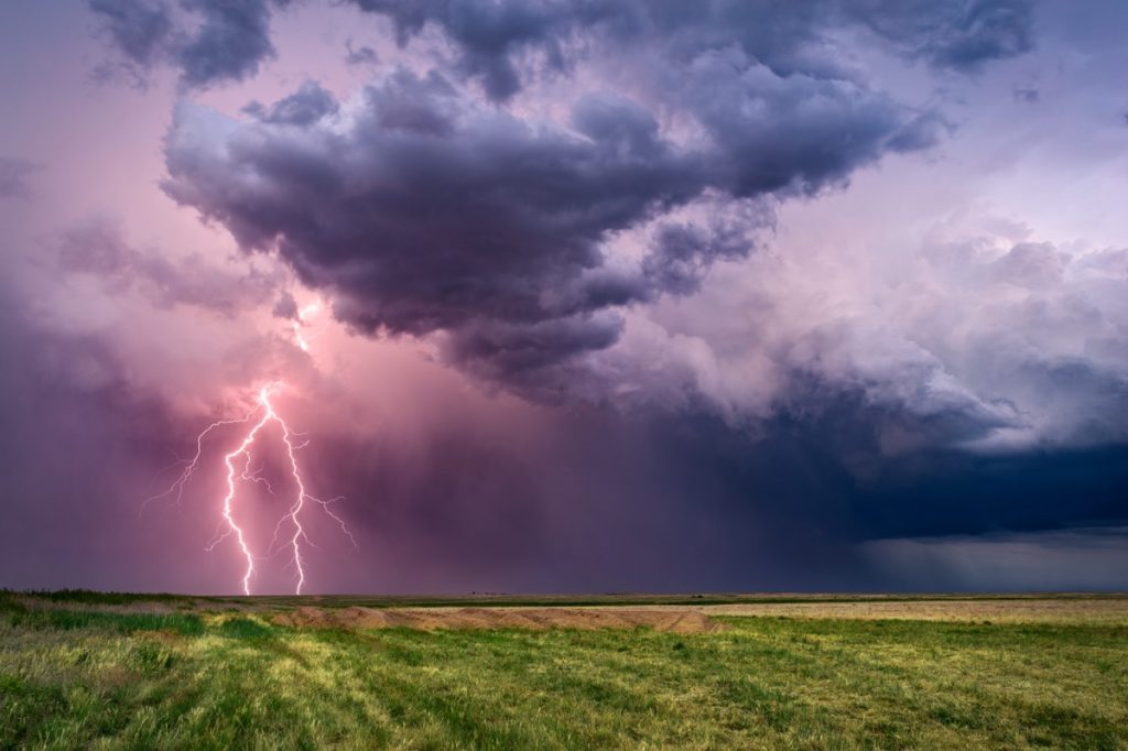
The Central Plains states, the Midwest, and the Northeast are now ramping up for a dousing of their own as the system pushes east. Beginning tonight and through tomorrow, particularly heavy rain is expected in southern Missouri and parts of Oklahoma, Illinois, Kansas, Indiana, and Tennessee, along with the threat of thunderstorms with hail, according to Fox Weather.
Thursday into Friday will see the storm system bringing heavy rains to the Ohio Valley before it begins to drench the East Coast on Friday morning. Rain will also shift to snow for some parts of the Northeast, but it’s not expected to drop more than one to three inches, per Fox Weather.
RELATED: “Extended Winter” May Keep Things Cold in These Regions, Meteorologists Predict.
Some places could see another round of severe weather next week—including tornadoes.

However, it won’t be calm for very long after the latest system passes through. Some meteorologists are warning that conditions could be in place for an early start to severe weather season in the Central Plains states and parts of the South, AccuWeather reports.
Models show that warmer, moist air will be over the south early next week, with some forecasts showing unseasonably warm temperatures as high as the 80s, according to AccuWeather. By midweek, this balmy front might push into colder airmasses to the north, including in the Ohio, Mississippi, and Tennessee Valleys.
Meteorologists warn that these conditions are often the precursor to extreme weather, including severe thunderstorms and even tornadoes.
“There will likely be some twisting of the winds at different levels of the atmosphere,” said Joe Lundberg, a long-range meteorologist with AccuWeather.
RELATED: Widespread Blackouts Predicted for 2024—Will They Hit Your Region?
Meteorologists are still trying to determine when the intense storms could arrive.

Meteorologists are still checking models and surveying shifting conditions to help pinpoint when the storms could develop across the region. One forecast says parts of western Texas and Oklahoma might see the first signs of the system as early as Monday evening before pushing through on Tuesday and Wednesday with the most significant effects, per AccuWeather.
“The key to the exact timing and location of the severe weather will depend on the track and intensity of a storm that rolls out of the Southwest early next week,” said Joseph Bauer, a storm warning meteorologist with AccuWeather.
The most intense days could see everything from severe thunderstorms with large hail to damaging winds and tornadoes. Meteorologists also urged residents in the region to perform an early check of their extreme weather preparedness plans ahead of the weather, AccuWeather reports.
Experts caution there could also be more tornadoes in the following weeks.

The upcoming batch of brutal weather might not be the last the region sees anytime soon.
“There may be another opportunity for severe weather in early March for a portion of the Central states,” Paul Pastelok, long-range meteorologist for AccuWeather, said during a forecast update. Historically, severe weather season in the region begins sometime around the start of spring.
Unfortunately, some other parts of the U.S. have already seen some early starts to extreme storms. On Feb. 8, parts of the northern Midwest experiencing warmer-than-average temperatures saw severe thunderstorms that brought hail and high winds, AccuWeather reports. The system may have also spawned the first recorded tornado to ever touch down during February in Wisconsin.