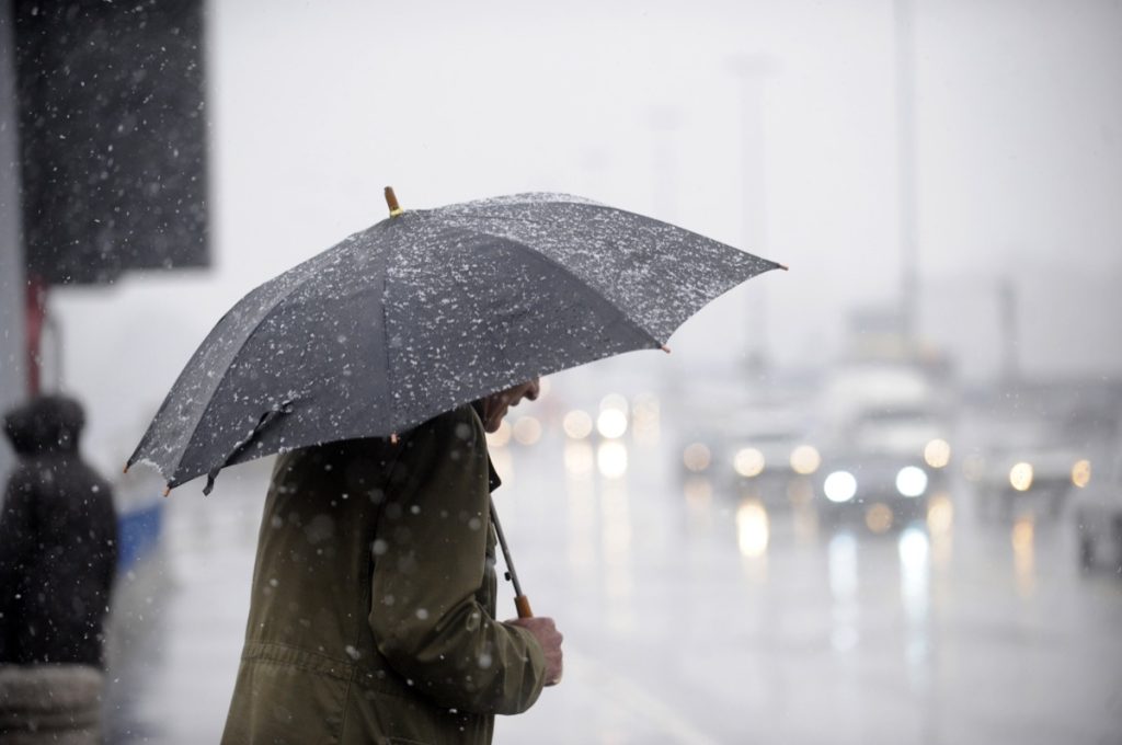
“Significant” Storms Will Bring Rain and 12 Inches of Snow to These Regions

Winter has kept us on our toes this year with its tendency to dish out plenty of back-to-back weather events. Parts of the East Coast are already preparing to deal with the second snowstorm to hit this week. And now, another series of “significant” storms is expected to bring heavy rain and a foot or more of snow to other regions in the coming days. Read on to see what the forecast says and if you’ll be affected.
RELATED: Meteorologists Warn That “Super El Niño” Could Lead to Intense Hurricane Season.
California is still drying out after a series of storms caused significant flooding there.
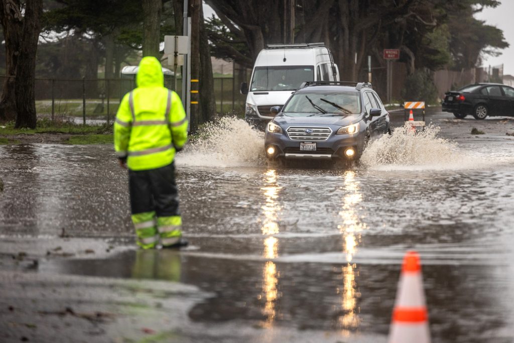
After initially getting soaked days earlier, California was slammed last week with the second of two major storms created by an atmospheric river weather pattern. The slow-moving system brought heavy rains that caused widespread flooding and mudslides across the state, killing at least three people, BBC News reported.
Effects of the storm were felt from northern parts of the state around the San Francisco Bay area all the way down to San Diego. The system then transitioned into heavy snowfall as it moved inland, dumping feet of fresh powder across the Sierra Nevada mountain range.
In Southern California, the torrential downpours caused devastating flooding in Santa Barbara and Los Angeles. The latter broke its record for single-day rainfall set in 1927, with 4.1 inches reported on Feb. 4, per the BBC. Los Angeles County also said it had received more than 11 inches of rain over the weekend and through Monday afternoon, falling just short of the 15 inches the area records annually.
RELATED: “Polar Vortex Disruption” Will Send U.S. Temps Plummeting—Here’s When.
Now, another wave of storms will hit the region and bring even more rain.

Since the rains subsided last week, most of the West Coast has enjoyed a brief drying-out period. But that began to change on Feb. 14, when the first in a series of new storms struck the region, Fox Weather reports.
Fortunately, the latest set of rain remained relatively light and didn’t cause any flooding along the coast. However, the storm is expected to continue to push east and turn into heavy snow in higher-elevation areas, with as much as two feet falling in parts of Oregon and Washington through today, per Fox Weather. California’s Cascades and Sierra Nevada ranges could also see one to two feet in some areas before Friday.
However, there’s more on the way.
RELATED: “Extended Winter” May Keep Things Cold in These Regions, Meteorologists Predict.
The next bout of rain and snow is expected to start over the weekend.
Even as the first weather system moves through with relatively little effect, another storm is forming in its wake that could be much more impactful. Meteorologists predict a low-pressure system will hit the West Coast, bringing rain starting late Friday and early Saturday, according to AccuWeather.
“This first storm in the two-part rain threat will likely bring the heaviest precipitation to some of the same areas that got hit at midweek, especially the Redwood coast of Northern California, which can increase the risk of flooding,” said Heather Zehr, a senior Accuweather meteorologist.
Initial forecasts show that the San Francisco Bay area could see one to two inches of rain along the coast, Fox Weather reports. Meanwhile, areas to the north near Fort Bragg could accumulate two to five inches through Sunday.
Southern California is expected to be spared any torrential rain with this system. But forecasts show the storm transitioning into snow as it hits the Sierra Nevada range, potentially dumping one to two feet of fresh powder.
“As we work our way through the weekend, more issues will pop up,” Fox Weather meteorologist Britta Merwin said during a Feb. 15 forecast. “The snow up the mountains will be epic. Be careful with weekend travel, and then also travel coming back after a ski weekend with another storm on the way.”
A more severe system could hit the region by late Sunday and early next week.

Despite missing much of the earlier weekend storms, parts of Southern California are likely still in for some severe weather. In a message posted to X (formerly known as Twitter) by the Los Angeles bureau of the National Weather Service (NWS), conditions are expected to begin deteriorating before the Monday commute with “significant storm-related impacts.”
“A strong storm Sunday through Tuesday will likely bring periods of heavy rain, mountain snow, strong winds, flooding, and possible power outages,” the agency wrote, adding that two to five inches of rain could fall and wind gusts of 30 to 50 miles per hour were possible. “Stay safe: avoid low-lying areas and large waves at the coast and be prepared for disruptions.”
While data is still coming in to refine forecasts, meteorologists warn that this storm could have some devastating similarities to the system that drenched Los Angeles last week. Namely, one projection shows the storm could stall offshore, prolonging the rain and snowfall in the area through midweek, Fox Weather reports.
“We’re going to have a lot more instability,” said Merwin. “It’s that kind of a setup that I wouldn’t be shocked if we were talking about thunderstorms and severe weather in California at the beginning of next week.”