This Week’s Winter Storm Could Bring Even More Snow to These Regions

With weeks left to go before spring officially begins, 2024 has been somewhat of a mixed bag of severe winter weather and unusual conditions. Historic levels of rain and flooding have pummeled the West Coast, while other areas in the Midwest have seen much less snowfall compared to their annual averages. But some have also been dealing with consecutive bouts of seasonal weather, with a winter storm now building that could bring even more snow to some places this week. Read on to see which regions will be affected and what’s in the forecast for your area.
RELATED: Meteorologists Warn That “Super El Niño” Could Lead to Intense Hurricane Season.
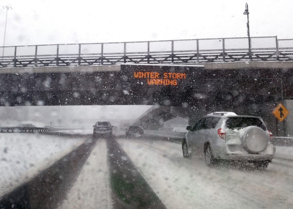
The East Coast saw two separate snow storms within days last week.

Last week, parts of the East Coast and the Northeast lived up to their wintery expectations with back-to-back storms. The first of the two systems arrived in the days leading up to Valentine’s Day, covering some areas in New York with nearly a foot of snow. A last-minute trajectory change drastically altered original forecasts, which initially called for southern New England to see the most accumulation.
But days later, a second system pushed in from the Midwest to bring similar conditions to ring in the weekend. In this case, the storm outperformed expectations, dropping nearly a foot of snow in parts of Ohio, central Pennsylvania, parts of New Jersey, and southern New York, The New York Times reported. Mid-Atlantic cities, including Baltimore, also saw about three inches accumulate during the storm.
RELATED: New Spring Forecast Shows Which U.S. Regions Will Be Warmer and Wetter This Year.
The region is expected to see more precipitation in the coming days.
Mother Nature doesn’t appear to be slowing down much this week. Forecasts now show that a winter storm will strike the East and Northeast again, potentially causing travel headaches heading into the weekend as it pushes in from the West Coast, Fox Weather reports.
Fortunately, the lead-in could bring some initially pleasant changes for many places by providing a quick thaw. Warmer temperatures should spread from the Midwest through the Appalachians, spiking highs from the 20s and 30s seen over the past few days all the way into the 50s in some places before midweek, per AccuWeather. However, these effects are expected to be relatively short-lived.
RELATED: “Extended Winter” May Keep Things Cold in These Regions, Meteorologists Predict.
Areas farther to the south could see significant rainfall later this week.

As the storm continues to move, it’s expected to create some potentially dangerous conditions even before it turns to snow.
“The exact same system that is impacting California, it’s going to continue to evolve as it works its way eastward,” Kendall Smith, a meteorologist with Fox Weather, said during a forecast update on Feb. 20. “So diving out of the Rockies into the Plains, and it’s going to be met up with a lot of warm, moist, unstable air, and so that’s why we could see this severe potential kind of playing out for us, especially as we head into the overnight hours.”
By Thursday, forecasts say the storm will begin to drop enough rainfall to spur flooding in the Ohio Valley. Areas farther south in the Tennessee Valley could also see thunderstorms develop before the system pushes on and reaches the Mid-Atlantic coast by Thursday evening with one to 1.5 inches of rainfall, according to AccuWeather.
Parts of the Northeast will likely see snow accumulation heading into the weekend.

Meanwhile, areas farther north could be getting a different type of precipitation. Sections of Upstate New York, most of Vermont and New Hampshire, and central Maine could see snowfall by the end of the week, bringing anywhere from a dusting to two inches, AccuWeather reports.
“Into the Northeast, the storm will quickly track by on Friday. Snow is possible, mainly in the terrain areas of the Northeast, with rain likely across southern New England,” Joseph Bauer, an AccuWeather meteorologist, said in a forecast update.
Lower temperatures farther south could lead to wintry mixes and freezing rain in some areas of New York, northern Pennsylvania, and southern New England. The storm’s wake will also bring another reminder of winter as temperatures begin to drop over the weekend to about five to 10 degrees below average, per AccuWeather. Blustery conditions could also drive wind chills in the Midwest through the Northeast for the weekend.