Severe Storms Bringing Tornadoes and “Baseball-Sized Hail” to These Regions

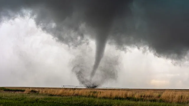
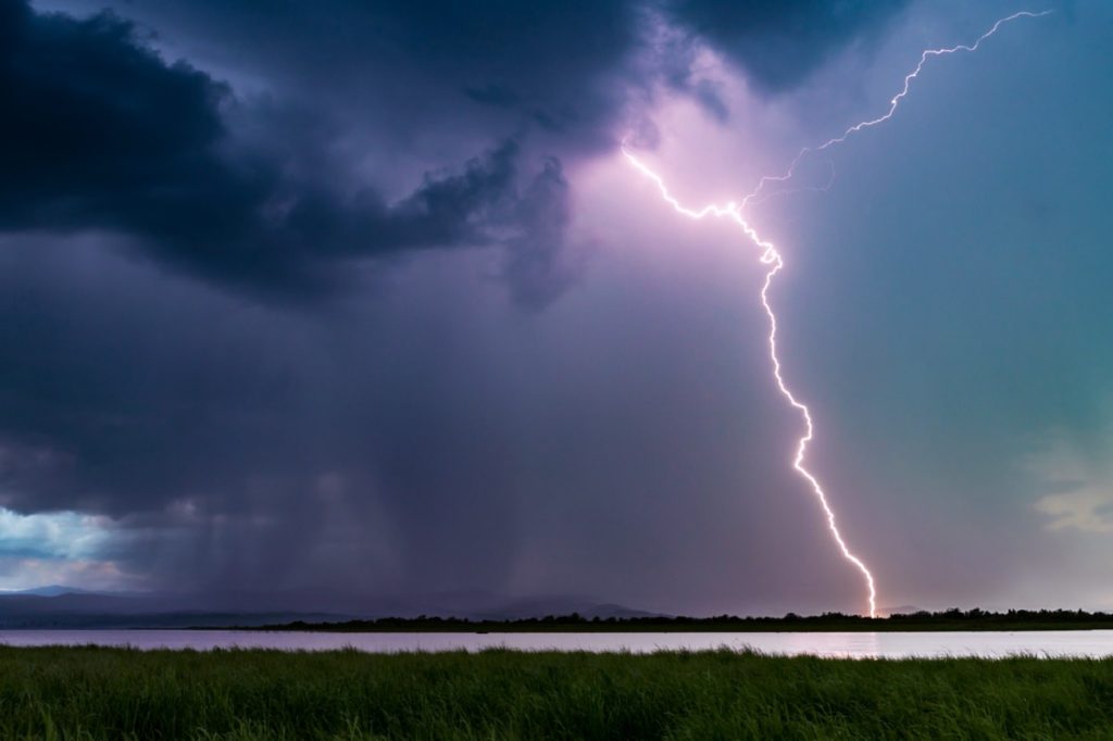
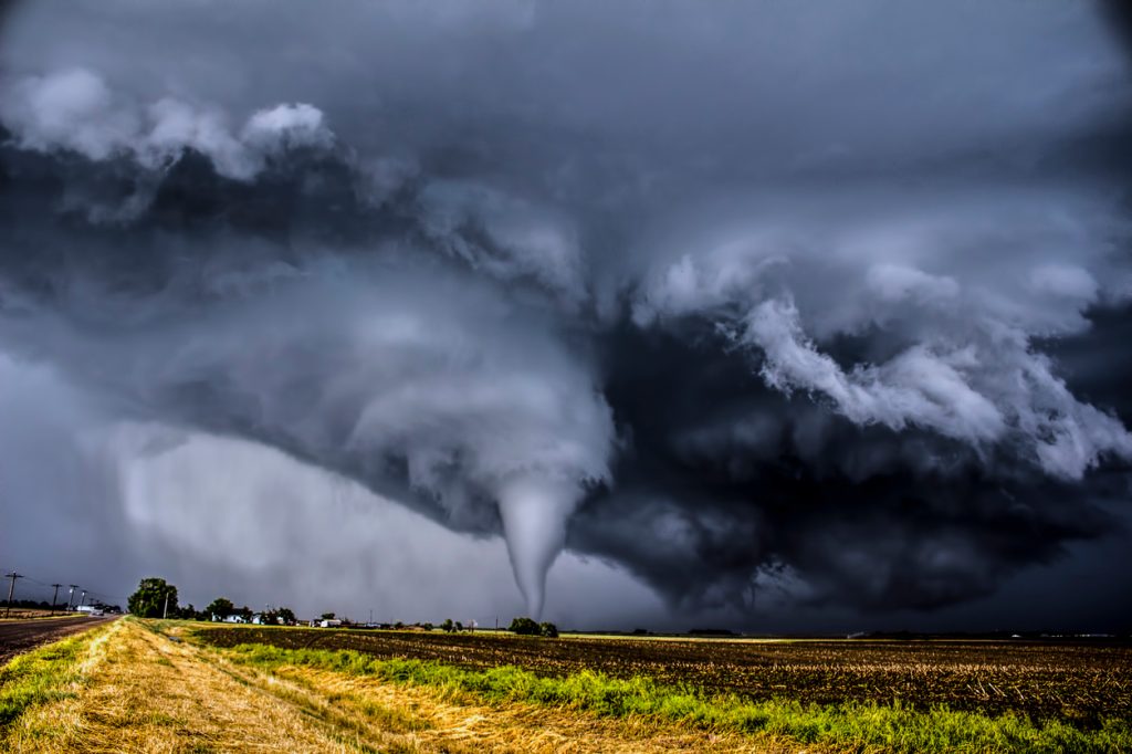
Even before hurricane season kicks off, the spring severe weather season can bring some devastating storms to the U.S. These systems often cause torrential rains, flooding, and damaging winds—or worse—when they roll through. And now, forecasts show severe storms will be bringing tornadoes and “baseball-sized hail” to some regions throughout the week. Read on to see what the weather outlook is and if your area will be affected.
RELATED: 2024 Hurricane Season May Be 170% More Active—The States Most at Risk.
This week will kick off with severe weather threats in some parts of the U.S.

Just days after a strong storm system rocked the Southeast, a new wave of extreme weather is expected to spread across the U.S. Starting on Monday, a severe storm threat will affect an area running from Texas up through South Dakota and including parts of Iowa and Missouri, AccuWeather reports.
“Supported by an influx of Gulf moisture, Monday’s severe threat will bring the risk of isolated tornadoes, hail, flooding rainfall, and damaging winds to the Plains,” Alexander Duffus, an AccuWeather meteorologist, said during an update.
Forecasts show that the extreme thunderstorms could generate baseball-sized hailstones in some areas, with north central Texas, central Kansas, and most of Nebraska most likely to be affected by two-inch-thick ice, Fox Weather reports. Winds could also reach gust speeds of 60 to 80 mph in some of the same areas.
RELATED: Widespread Blackouts Predicted for 2024—Will They Hit Your Region?
Conditions could get even worse later in the day and overnight.

While bad weather could start off earlier in the day, meteorologists cautioned that the system will likely become most dangerous in the evening. Major cities in the area, including Oklahoma City, Oklahoma; Wichita, Kansas; Wichita Falls, Texas; and Lincoln, Nebraska, could be affected overnight.
“This makes the outbreak risk even more dangerous as these severe thunderstorms would occur at night when people may not see them coming or could be asleep,” AccuWeather meteorologist Dan Pydynowski warned.
Because of the heightened risk, anyone who lives in an affected area should consider switching on emergency warning notifications on their smartphones and keeping them nearby while sleeping, CNN reports.
RELATED: New Spring Forecast Shows Which U.S. Regions Will Be Warmer and Wetter This Year.
The storm threat will move east as the week progresses.

After Monday night’s threats, meteorologists expect the system to push east. Forecasts predict that the Mississippi Valley and Midwest will see severe thunderstorms in an area that includes Missouri, Arkansas, Iowa, Illinois, and parts of Indiana, Kentucky, and Tennessee, per AccuWeather.
The same set of dangerous conditions is possible as the storm front continues its move, bringing the potential for damaging wind gusts of 60 to 70 mph, large hail, and tornadoes.
The storm will then push even farther east, reaching Ohio, Indiana, Kentucky, and most of Tennessee by Wednesday. But while the risk of severe weather is expected to diminish somewhat by then, the potential for localized damaging winds, tornadoes, and hail is still in play.
Torrential rain could also cause flooding issues through Wednesday.

Even though the damaging winds, tornadoes, and massive hail that will come with this storm system are worrisome, they’re not the only potentially destructive elements. Heavy rains are also in the forecast, which could produce localized flooding in some areas, Fox Weather reports.
The Plains States and Midwest are expected to receive the most rainfall, with one to two inches expected in Wisconsin, southern Minnesota, northern Illinois, and most of Iowa. Meanwhile, some parts of Iowa and South Dakota could see as much as three inches of precipitation through Wednesday.