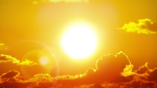
“La Nada” Will Impact Summer Heat and Severe Weather—What to Expect in Your Region

After a rather eventful winter, many across the U.S. are ready for milder weather and temperatures. But recent reports indicate that while the next few months might give us a bit of a reprieve, the summer is when more severe conditions will ramp up. We are expected to transition to a La Nada, or “nothing” period, formally known as the El Niño-Southern Oscillation (ENSO)-neutral pattern. According to Fox Weather, this occurs when neither El Niño nor La Niña are in control in the Pacific Ocean. The water is then deemed to be in a neutral state, prompting fewer “kinks” in the jet stream and more regional patterns in local weather, the outlet reported.
Experts anticipate that we’ll shift from El Niño—the condition over the Pacific Ocean since last June—between now and this June, then shift to La Niña, Patch reported.
“A transition from El Niño to ENSO-neutral is likely by April-June 2024 (85% chance), with the odds of La Niña developing by June-August 2024 (60% chance),” the National Weather Service Climate Prediction Center said in an April 11 forecast discussion.
Wondering what to expect in the coming months as a result of these ENSO-neutral conditions? Read on to find out what kind of heat and weather your region will see.
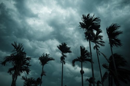
RELATED: Meteorologist Says Hurricanes Will “Grow Stronger and More Easily” This Season.
Northeast
In the Northeast, La Nada is likely to affect temperatures.
According to Patch, the pattern could induce “slightly warmer temperatures,” with an average amount of rain in New England. According to Fox Weather, during neutral periods, the East Coast tends to see reduced tropical cyclone activity.
While in a neutral cycle in 2019, portions of the Northeast largely saw above-average and much-above-average temperatures between June and August.
RELATED: Weather Predictions Keep Changing—What the Unpredictable Shifts Mean for You.
Southeast
In the Southeast, above-average warmth is also expected, and this region may want to brace for a more intense period of wet weather.
Hurricane season kicks off on June 1, and according to research from Florida State University, hurricane impact during neutral years is heightened around the Florida Peninsula and the Gulf of Mexico. This is similar to what happens during La Niña patterns.
West

La Nada certainly makes weather patterns less predictable, but heat is also expected for the West Coast. During the 2019 neutral-ENSO summer, some areas in eastern California and Washington saw record-high temperatures.
When La Niña eventually kicks in, we can likely expect colder and wetter weather in the Pacific Northwest, KTLA reported.
RELATED: Why You Shouldn’t Trust Weather Predictions from the Farmer’s Almanac.
Central U.S.

The middle of the country might see a bit of a reprieve while La Nada reigns. According to data from summer 2019, temperatures were near or below average in this area, Fox Weather reported.
However, through early summer, the NWS Central Region Climate Outlook anticipates that the Great Lakes area should expect to see higher-than-average temperatures. This is largely due to “lack of snow and soil saturation due to drought.”