Meteorologist Says Hurricanes Will “Grow Stronger and More Easily” This Season
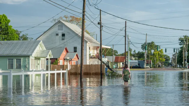
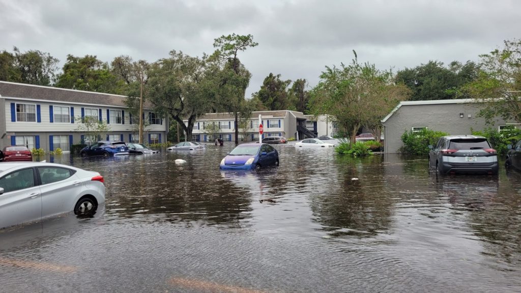
It’s safe to say that even dealing with a single devastating storm is enough to make for a bad hurricane season. But unfortunately, mounting evidence suggests that we could be in for an especially active year for Atlantic cyclones. On top of being greater in number, experts caution that data shows hurricanes will also “grow stronger and more easily” during the upcoming season thanks to developing conditions. Read on to see how this could affect your summer and why some meteorologists are so concerned.
RELATED: Experts Warn Hurricane Season Will Be “Well Above-Average” in New Forecast.
The latest long-term forecast predicts there will be more hurricanes than usual this year.
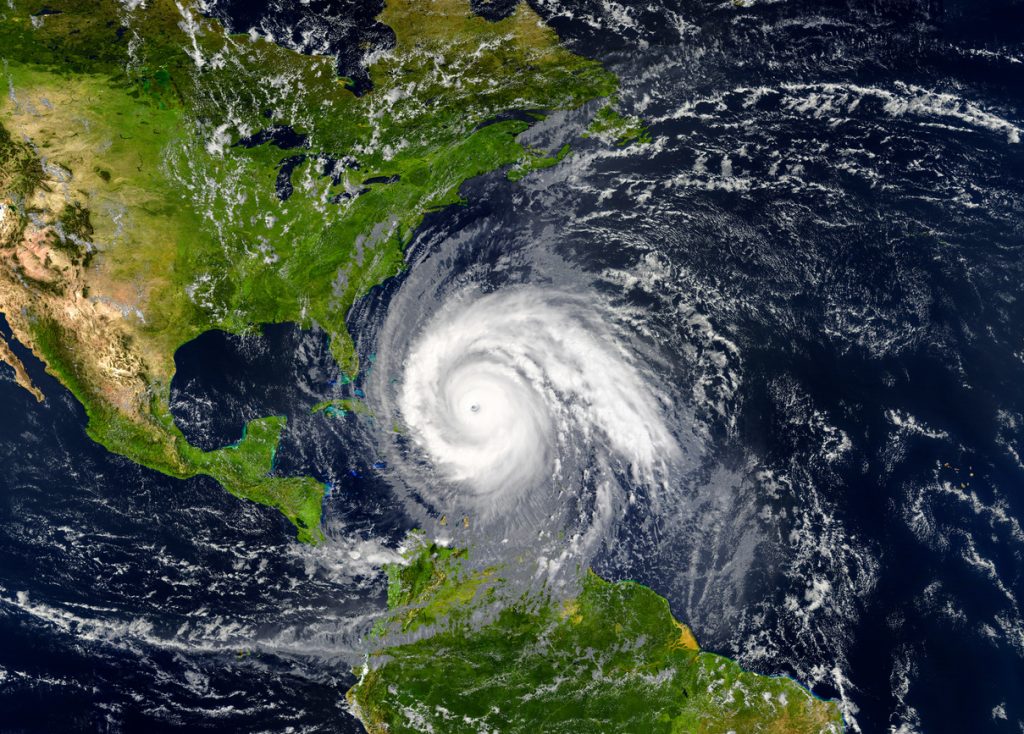
Months before hurricane season officially starts, some experts are already warning that it could be a difficult year. The long-term forecast released by Colorado State University (CSU) on April 4 predicts that tropical cyclone activity will be 170 percent of the average season over the coming months.
Models show that there will likely even be an increase over last year’s highly active season. The forecast says 23 named storms will form, far above the historic average of the 14.4 cyclones that typically reach that status each year. This prediction includes 11 hurricanes—five of which could be considered “major” at category 3 or higher—beating out the annual averages of 7.2 and 3.2, respectively.
RELATED: 9 Dangerous Things You Should Never Do During a Thunderstorm.
Scientists expect La Niña to form in the Pacific, making it easier for storms to develop.

One primary reason why this year could see so many more Atlantic storms has to do with a change taking place in the Pacific. According to a new report from the National Oceanic and Atmospheric Administration (NOAA), the warmer-than-average waters off the coast of South America appear to be giving way in what’s known as the El Niño-Southern Oscillation (ENSO). If trends continue, this means that La Niña conditions will form—which meteorologists point out can be bad news for outlooks.
“La Niña typically leads to a more active hurricane season,” Van Denton, chief meteorologist with local North Carolina Fox affiliate WGHP, explained in a recent post. “Weaker jet streams associated with the La Niña produce less wind shear for tropical systems, allowing them to grow stronger and form more easily.”
The latest report says there is a 60 percent chance that La Niña could develop in the early half of hurricane season between June and August. The odds then continue to increase each month as the season progresses, reaching 80 percent by August and 86 percent by October. Comparatively, there is a 13 percent chance of neutral conditions during the last official month of hurricane season.
RELATED: New Spring Forecast Shows Which U.S. Regions Will Be Warmer and Wetter This Year.
Record-high ocean surface temperatures will also generate more tropical storms and hurricanes.
The upcoming change in conditions will remove a key protective element that kept last year’s active hurricane season from generating more than a few storms that actually made landfall.
“Last season, the extra-warm water temperatures in the Atlantic were partially canceled out by the somewhat hostile El Niño pattern created by the band of warm water across the equatorial Pacific south of Hawaii,” Bryan Norcross, a hurricane specialist with Fox Weather, said in an update. “Air rising from that large warm-water zone helped create a steering pattern over the tropical Atlantic that kept most of the strong storms away from the U.S. and the Caribbean.”
In addition to the likely upcoming ENSO, other key indicators point to a rough hurricane season. Scientists have noted that current conditions have created fertile storm formation grounds.
“The ocean water temperatures in the tropical and eastern Atlantic are stunningly warm—the warmest ever recorded at this time of year,” Norcross said. “Extra-warm water in the spring usually translates to above-normal temperatures in the heart of hurricane season, so the odds favor developing storms having access to extra energy this year.”
Some of the changes could also affect the weather next winter.
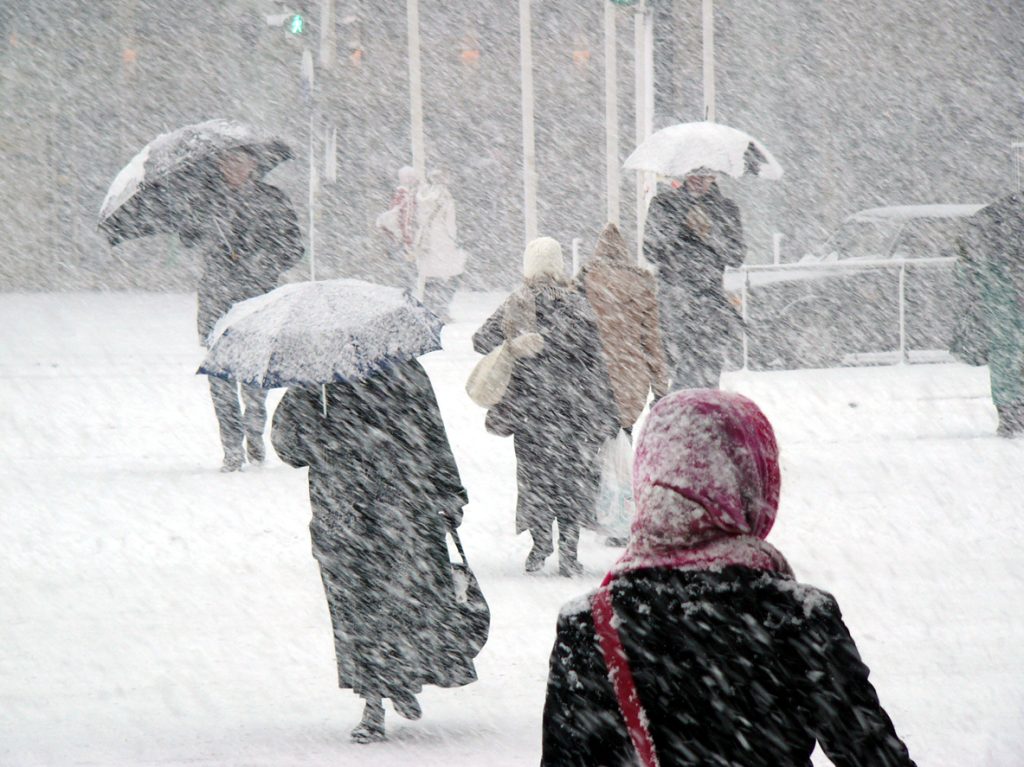
While hurricane season is a more pressing concern, the new data could also suggest that there will be significant impacts on weather for months to come.
The effects of El Niño conditions on winter weather brings very wet conditions to the West Coast and South while leaving the Northwest, Midwest, Plains States, and Northeast with much less snowfall than usual, Fox Weather reports. And while much of this was on display this year with torrential storms pounding California, a change towards La Niña will bring the opposite.
Those who live in the northern parts of the U.S. could see more snow and rain next winter, reversing this year’s mild and relatively flake-free conditions. Meanwhile, those living in the South and California will typically see a return to drier conditions.