Experts Warn Hurricane Season Will Be “Well Above-Average” in New Forecast

As is usually the case with extreme weather, no two hurricane seasons will ever be exactly the same. And while people in the regular path begin each year hoping there will be fewer storms to contend with than the last, it’s crucial to stay aware of any signals or evidence that it might be a particularly rough road ahead. Now, experts warn that the upcoming hurricane season will likely be “well above-average” in a concerning new forecast. Read on to see why they’re so worried and what the signs could mean for your area.
RELATED: New Spring Forecast Shows Which U.S. Regions Will Be Warmer and Wetter This Year.
Last year saw more Atlantic Storms than usual.

It hasn’t been very long since the U.S. has dealt with a particularly busy hurricane season. Just last year, a near-record 20 named storms developed in the Atlantic, according to the National Oceanic and Atmospheric Administration (NOAA). This makes it the fourth most active season since 1950 and places it well above the typical average of 14 named storms.
Only one hurricane managed to make landfall in the U.S. all season long, thanks likely in part to a historically strong El Niño that can help disturb hurricane formation, according to Climate.gov. However, other extreme conditions dampened some of the protective effects the cycle typically has.
“The Atlantic basin produced the most named storms of any El Niño influenced year in the modern record,” Matthew Rosencrans, lead hurricane forecaster at NOAA’s Climate Prediction Center, said in a statement. “The record-warm ocean temperatures in the Atlantic provided a strong counterbalance to the traditional El Niño impacts.”
RELATED: How New “Extreme” Thunderstorms and Wind Are Increasing—And Affecting Where You Live.
A new forecast says the upcoming hurricane season could be very active.

Unfortunately, it doesn’t look like we’ll see much of an improvement this year. Meteorologists now say that conditions are still in line for there to be even more serious storms in the coming months than there were last year, adding to the growing list of predictions of an active season.
“The 2024 Atlantic hurricane season is forecast to feature well above the historical average number of tropical storms, hurricanes, major hurricanes, and direct U.S. impacts,” Alex DaSilva, lead hurricane forecaster at AccuWeather, said in a statement. “All indications are pointing toward a very active Atlantic Hurricane season in 2024.”
RELATED: Widespread Blackouts Predicted for 2024—Will They Hit Your Region?
Two key indicators suggest there will be more storms coming our way.

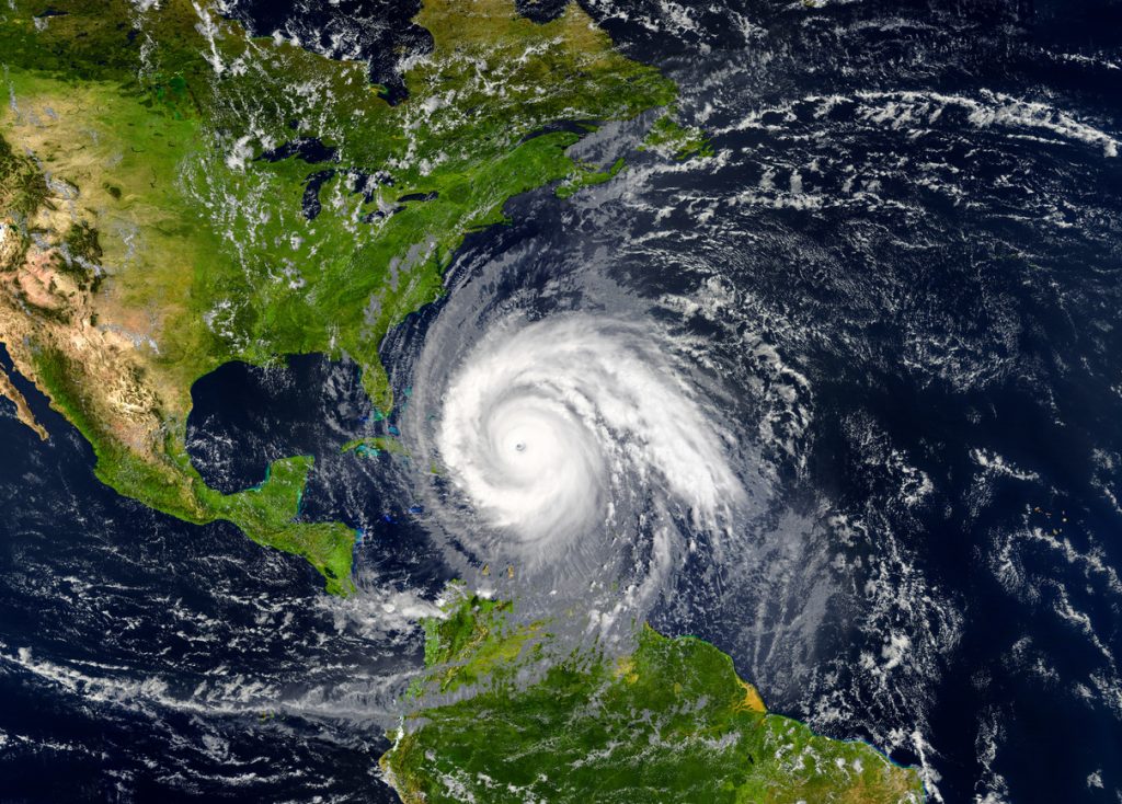
According to DaSilva, the forecast is based on current conditions that suggest more hurricanes and tropical storms will form. One is that sea-surface temperatures remain much higher than their historical average in the Atlantic, which matches the setting of the incredibly active 2005 and 2020 seasons.
“When you look back at historical sea surface temperature in the Atlantic’s Main Development Region, recent average water temperatures jump off the chart. They are the highest observed this early in the season in the available records,” Jon Porter, chief meteorologist for AccuWeather, said in a statement. “This is a very concerning development considering this part of the Atlantic Ocean is where more than 80 percent of the storms form which go on to become tropical storms or hurricanes.”
Another major factor is the waning of El Niño conditions and the appearance of La Niña in the Pacific Ocean off the coast of South America. The switch to colder waters will remove the wind shear that can stop storms from forming or strengthening.
“It can be helpful to visualize a stack of pancakes,” DaSilva suggested, adding that high-level wind shear can help dissipate tropical systems and weaken hurricanes by forcing them to become lopsided. “A tall, neat stack is what a tropical system wants to be, but wind shear can cause some pancakes to be displaced and the stack could fall over.”
Here’s how many hurricanes and direct hits the forecast expects.

Overall, a record-high number of storms are expected to form in the Atlantic, according to AccuWeather. The forecast predicts 20 to 25 named storms, eight to 12 hurricanes, four to seven major hurricanes, and four to six direct impacts in the U.S. However, DaSilva adds that there’s a 10 to 15 percent chance of more than 30 storms developing.
“The Texas coast, Florida Panhandle, South Florida, and the Carolinas are at a higher-than-average risk of direct impacts this season,” DaSilva said in the statement. “All residents and interests along the U.S. coast, including Puerto Rico and the Virgin Islands, should have a hurricane plan in place and always be fully prepared for a direct impact.”
Porter also said that any storms that form will also likely be able to strengthen faster due to the elevated sea-surface temperatures, especially as they approach land—and that even early-season storms are a threat.
“There will also be an elevated risk for major hurricanes,” warned Porter. “Texas and Louisiana are areas that have not been targets for hurricanes in the last couple of years—we think that may change. There’s a lot to watch and be concerned about. How fast and how strong the La Niña comes on as we head into the peak of the hurricane season will be a major factor.”