“Bomb Cyclone” Could Bring 2 Feet of Snow to These Areas, Forecasters Predict
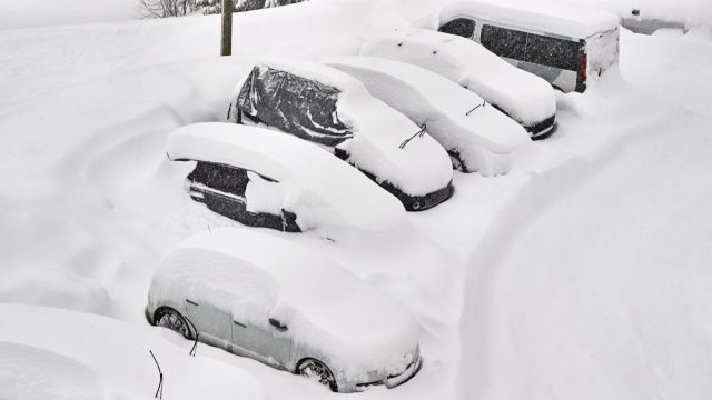
January is off to a wild start weather-wise—and the onslaught doesn’t appear to be letting up anytime soon. Following two massive winter storms in the past week, yet another is now on the horizon. According to USA Today, a “bomb cyclone” is expected to bring blizzard conditions to certain parts of the U.S. starting tomorrow. Read on to find out which areas forecasters predict will see two feet of snow.
RELATED: A “Polar Vortex” Is Expected to Hit the U.S. Soon—Here’s What to Know.
The Plains and the Midwest will get more snow.
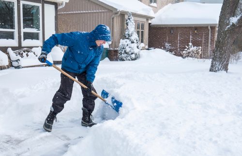
The bomb cyclone—a nickname for the meteorological term “bombogenesis“—is expected to hit parts of the Plains and the Midwest starting Thursday, USA Today reports. According to AccuWeather, these two regions should expect even more snow going into the long weekend.
The storm is anticipated to be much stronger and colder than this week’s first storm, which impacted the region through last night with snow, rain, and high winds. After the second storm hits, areas in the Plains and the Midwest could have anywhere between one to two feet of snow on the ground, per AccuWeather.
RELATED: Massive Winter Storm Hitting 70 Million This Week.
Forecasters say the heaviest snowfall may be surrounding the Great Lakes.
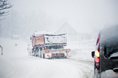
Per Fox Weather, snowfall is expected to be lightest over the Plains and increase in both coverage and intensity in the regions surrounding the Great Lakes. The latter area could also see wind gusts over 30 mph.
Because the latest storm is tracking further east, more areas in the Midwest are at risk for wintry weather, with heavy snow potentially hitting St. Louis, Detroit, and Fort Wayne, Indiana, according to AccuWeather. The outlet also highlights Kansas City, Chicago, Milwaukee, and Davenport, Iowa, as cities that could be hit especially hard.
Travel is expected to be tricky across the regions.
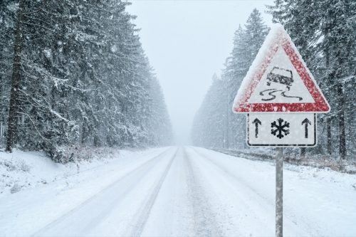
The storm could make travel in these parts of the country extremely difficult if not impossible, AccuWeather advises, largely due to blowing and drifting snow that can’t be immediately removed. Fox Weather says that travel along the I-80 corridor could be dangerous due to heavy snow and winds.
Fox Weather also notes that meterologists won’t know precisely where the heaviest snow will be until Thursday morning following a computer model analysis. However, there is potential for flight disruptions due to the latest storm, according to AccuWeather. While airlines are “still in recovery mode” and dealing with the impact of the first storm, additional delays and cancellations could make things even worse, the outlet reports.
RELATED: How New “Extreme” Thunderstorms and Wind Are Increasing—And Affecting Where You Live.
Damaging winds and tornadoes are on the docket in the South.
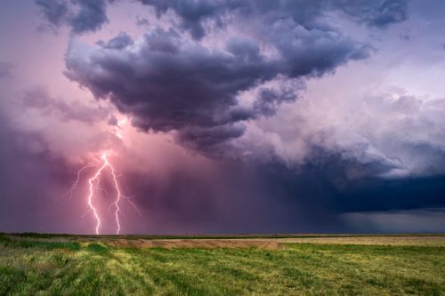
While other regions are facing blizzard conditions, those in the South aren’t getting off scot-free going into the weekend.
There’s an “enhanced risk” of severe weather in the form of thunderstorms, high winds, and strong tornadoes for parts of this region, according to the National Oceanic and Atmospheric Administration (NOAA) Storm Prediction Center (SPC).
The highest threats for Thursday are in east Texas, Arkansas, Louisiana, and Mississippi, per Fox Weather. The threat zone moves east on Friday, affecting the area from Mississippi to North Carolina. Tornadoes are another possibility, due to the type of thunderstorms hitting the areas, Fox Weather forecasters said.
RELATED: For more up-to-date information, sign up for our daily newsletter.