Major Winter Storm Hitting This Weekend—How Much Snow You’ll Get in Your Region
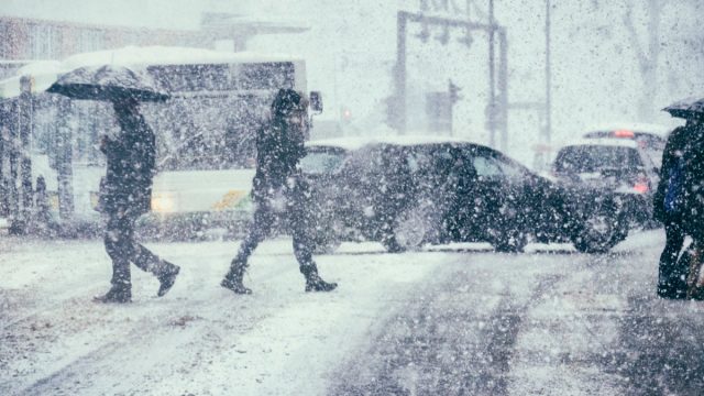
Even though many people hold out hope for a white Christmas in their area, the weeks following the holidays can often be when the full force of winter weather begins to take hold. This year, it appears Mother Nature isn’t waiting too long to start things off as a weather system pushes its way east across the U.S., the Today show reports. Meteorologists are already forecasting that many regions might also see some significant snow as the major winter storm hits this weekend. Read on to see how much you can expect to get in your area.
RELATED: A “Polar Vortex” Is Expected to Hit the U.S. Soon—Here’s What to Know.
Plains States, Gulf States, and the Southeast

Even though most attention is focusing on where the storm will land this weekend, it’s already affecting some parts of the U.S. According to the Today show, there will be “heavy snow in the Central and Southern Rockies” through the evening.
Texas will see “moderate to heavy snow…especially across the northwestern half of the Panhandle,” Texas Storm Chasers reports. Showers and thunderstorms will also push across the state through the early morning hours of Jan. 5.
By Friday, the storm is expected to produce a wintery mix in parts of Oklahoma, Fox Weather reports. Southern Plains States could also see some snow accumulation, with parts of Kansas expected to receive two to four inches of the white stuff, local CBS affiliate KWCH reports.
The typically balmy Gulf States might be spared any snow, but they certainly won’t be staying dry. The storm will intensify as it pulls up more moisture from the Gulf, bringing rain and a severe storm threat for the east-central Gulf Coast through Saturday, Today reports.
RELATED: 10 Signs Our Winter Could Be Brutal, Farmer’s Almanac Says.
Washington, D.C. and the Mid-Atlantic States
While earlier forecasts had some cities on the East Coast bracing for their first significant snow accumulation in nearly two years, meteorologists are now revising some initial estimates.
“It’s still a few days away, so we’ll have to hash out the storm track—where the precipitation falls, and how long the cold air can stay,” Tony Fracasso, a meteorologist with the National Weather Service’s Weather Prediction Center in College Park, Maryland, told the Associated Press on Jan. 3.
According to the latest forecast, the Washington, D.C., metro area will likely see light sleet and snow beginning on the morning of Jan. 6 before turning to rain in the afternoon that totals less than an inch of accumulation, The Washington Post reports. More inland areas of Maryland to the west of I-95—specifically to the northwest of the Capital and northwestern regions of Virginia—might actually see light accumulations of more than an inch when the snow begins falling early in the morning. However, those areas will also see rain eventually replace the white stuff by the afternoon, per The Post.
RELATED: How New “Extreme” Thunderstorms and Wind Are Increasing—And Affecting Where You Live.
Northeast
By Saturday evening, major cities, including Philadelphia and New York, could begin to see the first flakes fall. But much like areas due south, initial forecasts for heavy snowfall are now being pared back to less than an inch of accumulation, according to The New York Times. Most of New Jersey will also see a wintery mix with less than two inches of accumulation.
However, areas farther inland could see the white stuff start to pile. Parts of northeastern Pennsylvania, northwestern New Jersey, and Upstate New York could see around six inches of snowfall, per The Times.
But even though less powder will accumulate in the big cities, experts warn that there could be some weather-related frustration.
“Any accumulating snow can result in significant travel slowdowns, but this storm may have greater impact than others of similar magnitude because it has been such a long time since more than one inch of snow has accumulated in these areas—it can take people a bit of time to once again get used to driving in and otherwise dealing with the snow,” said AccuWeather chief meteorologist Jon Porter. “This is typically experienced during the first snowstorm of a season, like this one, but is amplified since it’s the first storm in several years.”
New England

As forecasts change, New England appears poised to receive most of the heavy snowfall from this approaching storm. From Jan. 6 through Jan. 7, parts of Connecticut, Rhode Island, and swaths of Massachusetts could see anywhere from one to six inches of accumulation, The Boston Globe reports.
The Boston metropolitan area and coastal regions down through Providence might expect one to two inches, per the National Weather Service (NWS). Meanwhile, current forecasts predict that parts of inland Massachusetts could see two to six inches fall—especially in higher elevation areas.
However, just like areas to the south, changing conditions could turn the storm into more of a rainy event than a powdery one—which explains why forecasts have changed so much.
“There’s always a degree of uncertainty up until the main event,” Zack Taylor, a meteorologist with the National Oceanic and Atmospheric Administration’s (NOAA) Weather Prediction Center, told The Globe on Jan. 3. “As we learn more about the track (of the storm), everything else will fall into place.”
RELATED: For more up-to-date information, sign up for our daily newsletter.