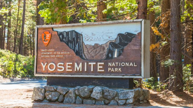
Yosemite National Park Officials Warn of More Closures This Summer
Yosemite National Park may look a little different this summer. After a record-breaking snowfall this winter—the Sierra Nevadas saw about 15 feet of snow, a ranger tells the Los Angeles Times—the Yosemite National Park Service announced that more areas of the park may be closed well into July due to flooding. While visitors will be treated to extra-lush forests because of all the rainfall this year, the unprecedented amount of snow is expected to cause the rivers to rise above the park’s designated flood stage.
READ THIS NEXT: 8 Expert Hacks for Having the Perfect Yosemite Trip.
In a May 5 Instagram post, the park service revealed that the Merced River “peaked a few inches below flood stage.” Park officials also conducted a snow survey on May 1 that “came in at 231 percent of average for the Merced River basin and 253 percent of average for the Tuolumne River basin.”
All of this to say, there’s still a ton of snow to melt. For park goers, unfortunately, this means that river activities like rafting and swimming may be not allowed in Yosemite Valley. Additionally, picnicking areas along and near the river may be roped off. On the bright side, rangers will be monitoring areas on a case-by-case basis, meaning there could be times between now and July where you can swim and picnic. Weather, obviously, will affect the official reopening dates.
At the time of publication, there are no flood closures in effect; but as officials warned travelers in the comments, Yosemite is dealing with several road closures.
Earlier this week, park officials alerted visitors that Big Oak Flat Road, a continuation of Highway 120 West that takes folks into Yosemite, will be closed from the park’s boundary to Merced Grove until mid-June, possibly even into July, due to a colossal crack in the road.
According to the park’s Instagram, Big Oak Flat Road is inaccessible after the highway caved in half. The crack is said to be 200 feet long and four feet deep. Even more frightening is the road’s surface, which has shifted two to three inches vertically and horizontally, and is continuing to move.
Officials add, “The embankment below the road has moved as much as 15 feet downslope and has significant water flow through it.” At this point in time, the road is completely inaccessible and allowing limited traffic is out of the question.
For more up-to-date travel information, sign up for our daily newsletter.
Federal Highway Administration is on the case and repairs are scheduled to start as soon as possible. Albeit, the road won’t be open any earlier than mid-June.
To help travelers plan their visit, Yosemite provided the following driving instructions:
“Visitors entering Yosemite via Highway 120 from the west can reach Hodgdon Meadow and Hetch Hetchy, but not other areas of the park (including Yosemite Valley).”
And, “from Yosemite Valley, visitors can drive up the Big Oak Flat Road to reach the Tuolumne and Merced Groves of Giant Sequoias.”
So if you’re planning a trip to Yosemite this summer, be sure to check how you can get in and what you will have access to before you make the trek.