Winter’s “Vengeance” Storm Could Bring a Foot of Snow to These Regions Tomorrow
A wave of unseasonably warm weather over the weekend might’ve lulled some into thinking spring was already kicking off. But those who were expecting to pack away their heavy coats for the season might soon be disappointed by Mother Nature. That’s because meteorologists say a winter’s “vengeance” storm could bring up to a foot of snow to some places tomorrow. Read on to see which areas will see the most accumulation and how it could affect your plans.
RELATED: “Polar Vortex Disruption” Will Send U.S. Temps Plummeting—Here’s When.
A major winter storm is currently drenching the Southeast.

The latest bout of balmy weather might’ve been a nice break from the harsh realities of winter, but a major storm system now moving through the eastern U.S. could bring some extreme conditions along with it.
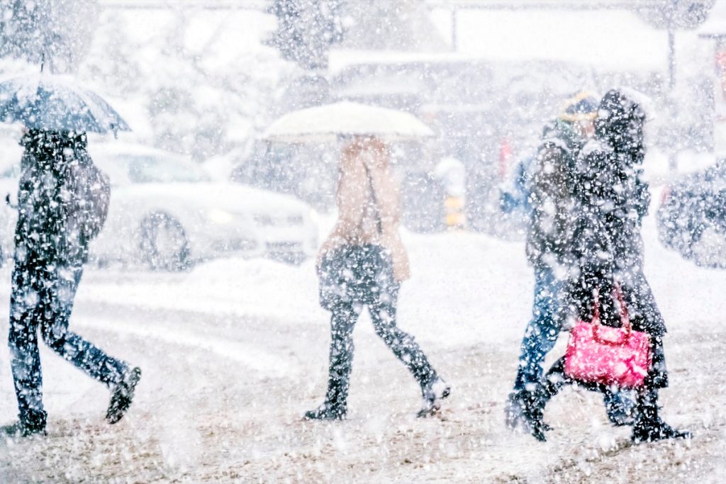
On Monday, the National Weather Service (NWS) warned that roughly 33 million people in the Southeast were at risk of severe thunderstorms and heavy rainfall, CNN reports. The agency said that the area—which runs from Mississippi through the Florida Panhandle and up to North Carolina—could see flooding, hail, and possibly tornadoes.
Major cities impacted by the weather include Atlanta, which could see between three and five inches of rain fall before the end of the day, Fox Weather forecasts. Experts caution that heavy precipitation is expected to hit large swaths of the region before tomorrow morning.
“A lot of this is going to be concentrated—not just closer to the Gulf Coast itself, but in the central and northern portions of Mississippi, Alabama, and Georgia,” Fox Weather meteorologist Craig Herrera said during a Feb. 12 update. “So those of you who have been kind of getting in on the action, but not the heavy action, you will start to see that.”
RELATED: Live in These 10 Places? You’re Most at Risk for “Extreme Winter Weather”.
Residents in the Northeast are bracing for a bout of heavy snow and rain.
However, things will look a little different farther north when the system continues its move later tonight and through tomorrow. An area stretching from the Ohio and Mississippi valleys through the mid-Atlantic and up into New England could see heavy rain and snowfall, bringing some places more of the white stuff than they’ve seen in years, AccuWeather reports.
“Winter will return with a vengeance as the storm moves along a push of colder air that will set the stage for more typical conditions for the middle and latter part of February,” AccuWeather meteorologist Matt Rinde said.
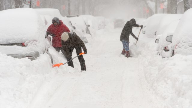
By late Monday, snow is expected to accumulate in parts of southern Indiana, parts of Ohio, and western Pennsylvania. Some places could see one to three inches of snow and slush on the ground, including Pittsburgh and Cincinnati, AccuWeather reports.
RELATED: Meteorologists Say 2024 Will “Amplify Hurricane Activity”—Here’s Where.
Cities like New York and Philadelphia could have messy commutes with six inches or more of snow.

Over Monday night and through early Tuesday, areas farther east will begin to see some significant snow accumulation. Forecasts show that cities like Philadelphia could see one to three inches of accumulation, while New York could get five to eight inches through tomorrow, Fox Weather reports.
Unfortunately, the timing of the storm could create a mess on the roads. “Travel could be very difficult to impossible,” the NWS said in an alert. “Patchy blowing snow could significantly reduce visibility. The hazardous conditions will impact the Tuesday morning and evening commute.”
Meteorologists also cautioned that coastal flooding could be an issue for New York, New Jersey, and New England tomorrow, CNN reports. Some officials warned residents to stay alert, watch forecasts, and prepare for any changes or disruptions.
“I have directed State agencies to mobilize in preparation for this storm and urge everyone to watch for weather and travel updates as it develops,” New York Gov. Kathy Hochul said on Feb. 10.
Some areas could see up to a foot—but the storm could also shift course.
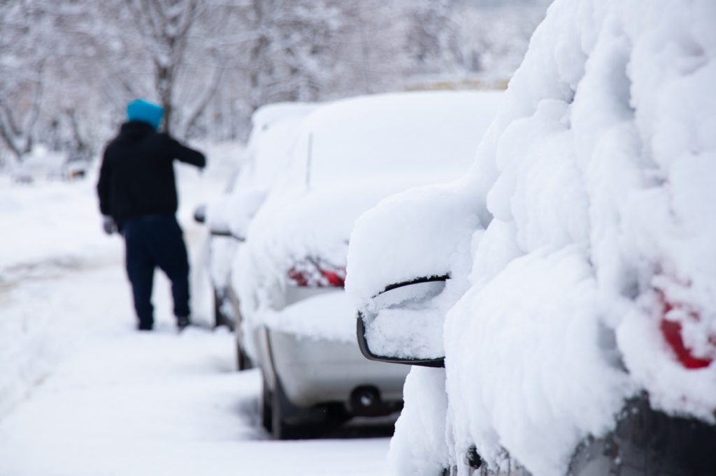
While this might be the most significant snowfall for places like New York City in over two years, other areas could be in for even more of an impact. Current forecasts show eastern Pennsylvania, southeastern New York, and southern New England could see eight to 12 inches fall, including the Boston area, Fox Weather reports. Pockets of more than a foot and a half are possible in some higher-elevation areas.
Meteorologists warned that the incoming Nor’easter could also snarl flights from airports in the region, even in places without the heaviest snowfall. But they also said a last-minute change in conditions could shift the brunt of the storm significantly.
According to AccuWeather, the system might still make a southern turn later tonight. The change would see places like New York City and Philadelphia winding up with “heavy, plowable accumulation of snow” and even bring some flakes to Washington, D.C., Baltimore, and Delaware.
Regardless of how much of the white stuff ends up on the ground, it’s still expected to bring back colder temperatures to the region, AccuWeather reports.
RELATED: For more up-to-date information, sign up for our daily newsletter.